displaying 998 results
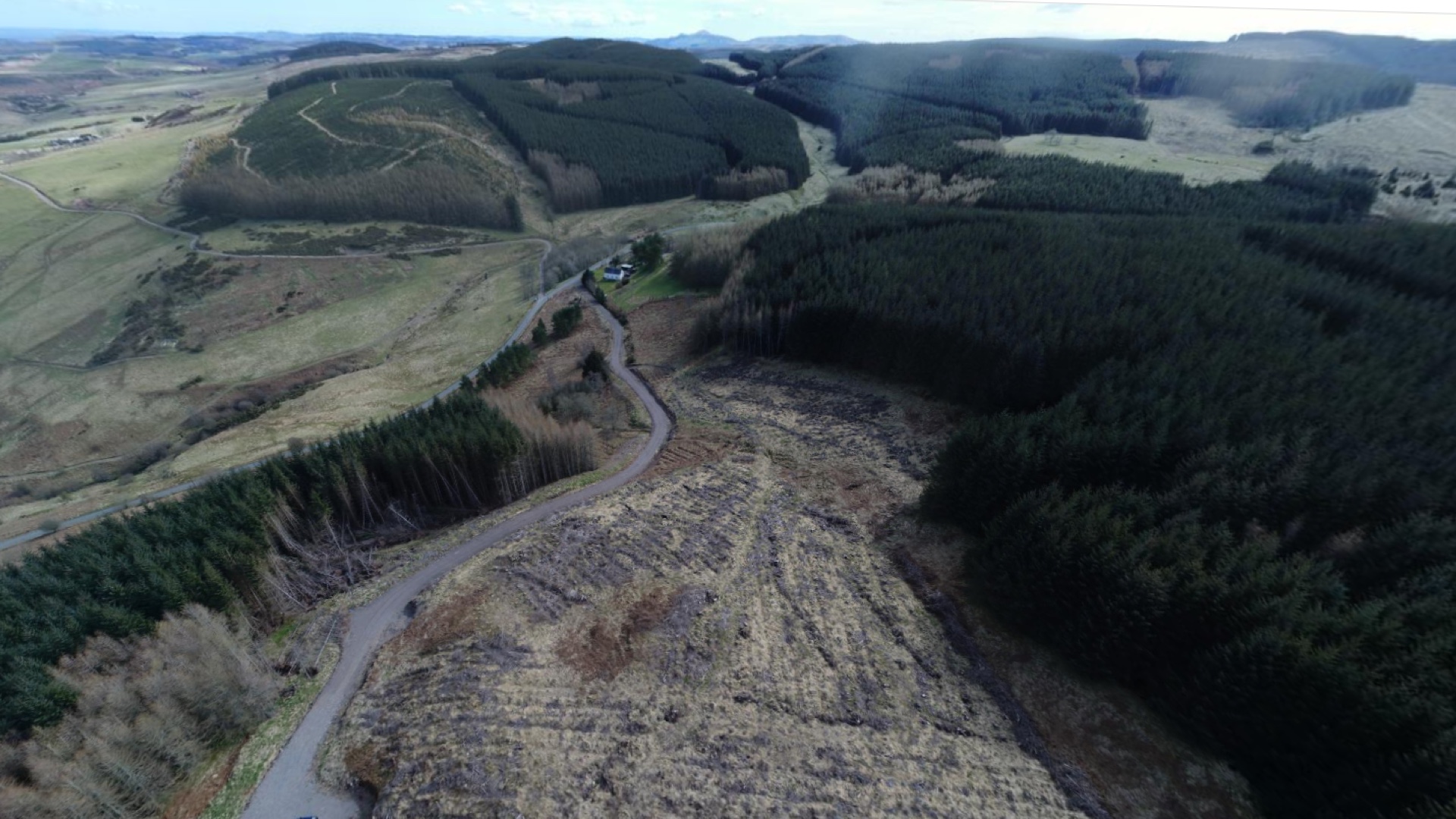
F&W Forestry Services uses drones in the field to monitor forest health and apply targeted treatments to yield the best timber harvest.

Armed with the understanding that trees and shade improve health, Los Angeles works with partners to plant new trees equitably.

GIS has proven valuable in monitoring levels of dangerous chemical contaminants in drinking water.

Move from reactive to proactive by using ArcGIS Monitor
Learn how to transform tabular data into a feature layer.

State park systems turn to GIS to limit close proximity of people during the pandemic and to communicate park closures and reopening.

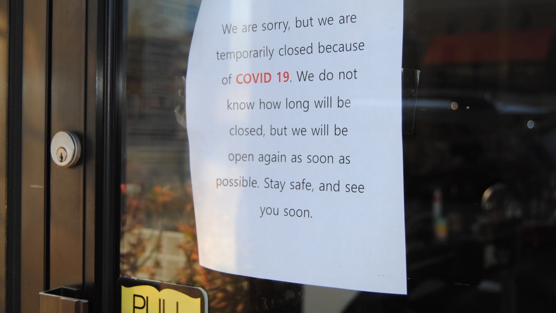
As countries mobilize to tackle the coronavirus crisis, any action requires geospatial data to execute sustainably and efficiently.
ArcGIS Hub allows governments to open up the powerful outputs from GIS to show how they are taking a data-driven approach to respond to the COVID

As people's anxiety rises from the Delta variant, dashboards gain a refresh to provide an at-a-glance view to understand infection hotspots.

South Carolina has gained greater awareness of COVID-19 from spatial analysts at its National Guard who have created maps, apps, and dashboards.

The city of Tempe, Arizona added the ability to test coronavirus bio markers in wastewater to provide advance warning about COVID-19 spikes.