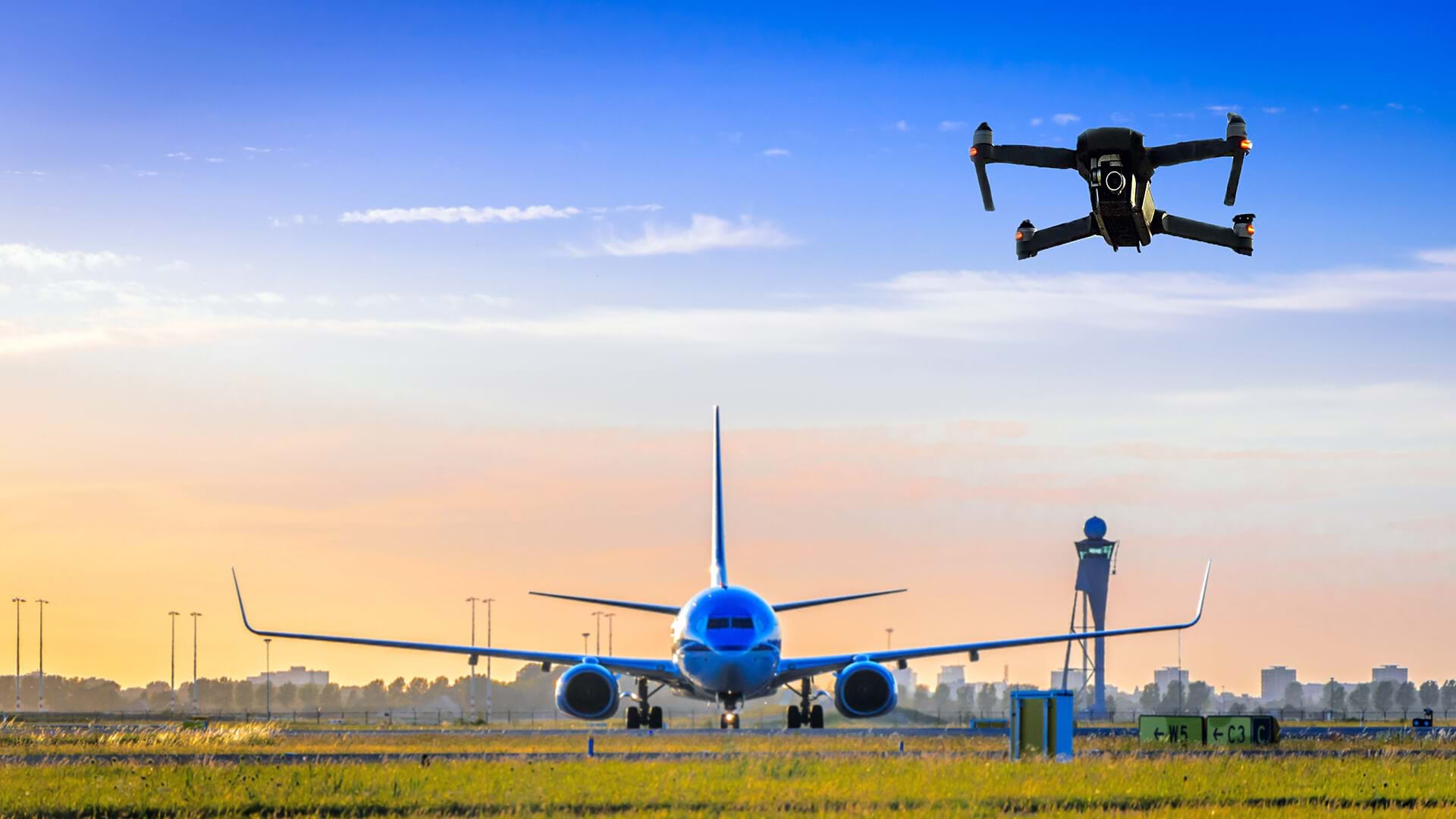
The Federal Aviation Administration (FAA) has had good reason to ban drones from airport airspace, since the small vehicles could pose a danger to larger aircraft carrying people and cargo.
But the FAA now acknowledges what many industries have long understood. Drones, often guided by high-fidelity location technology, make for impressive inspectors. In a groundbreaking move, the FAA recently authorized Delta Air Lines to be the first US commercial airline to deploy uncrewed aerial vehicles for maintenance inspections.
Drone Inspections Aim for High-Flying Results
With the drone inspections, Delta joins a growing cohort of companies relying on UAVs for business benefits including safety, efficiency, and cost savings.
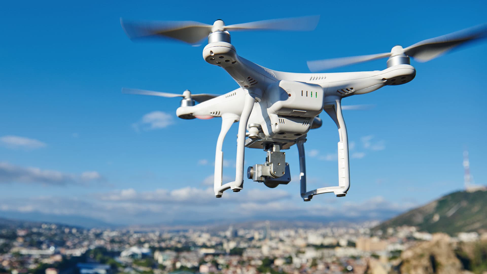
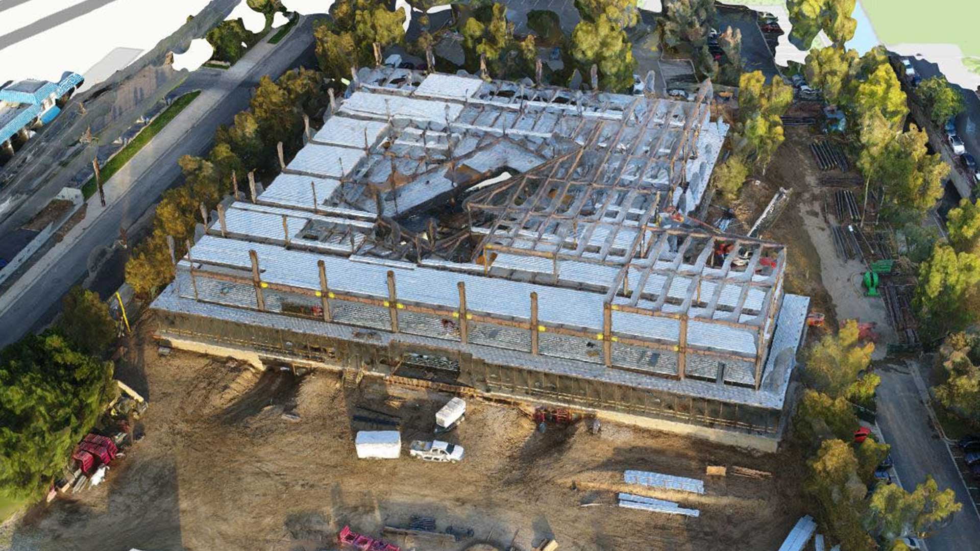
Drones equipped with geographic information system (GIS) and AI technology are revolutionizing inspections in industries from insurance and utilities to forestry and construction. The drones are capturing imagery in hard-to-access places while smart systems analyze the findings.
The views afforded by a drone typically come with less risk than sending a worker up in a lift truck or onto a cell tower. The Occupational Safety and Health Administration publishes guidelines for the safe use of drones to inspect US workplaces.
Across industries, these aerial devices are delivering on-the-ground benefits.
An airport in Southern California used drones and GIS to find the source of a roof leak in a busy terminal after a rainstorm. The drone recorded video and coordinates during its inspection flight, allowing staff to pinpoint the leak’s location in GIS. The resulting work order guided maintenance crews directly to the source, accelerating repair time.
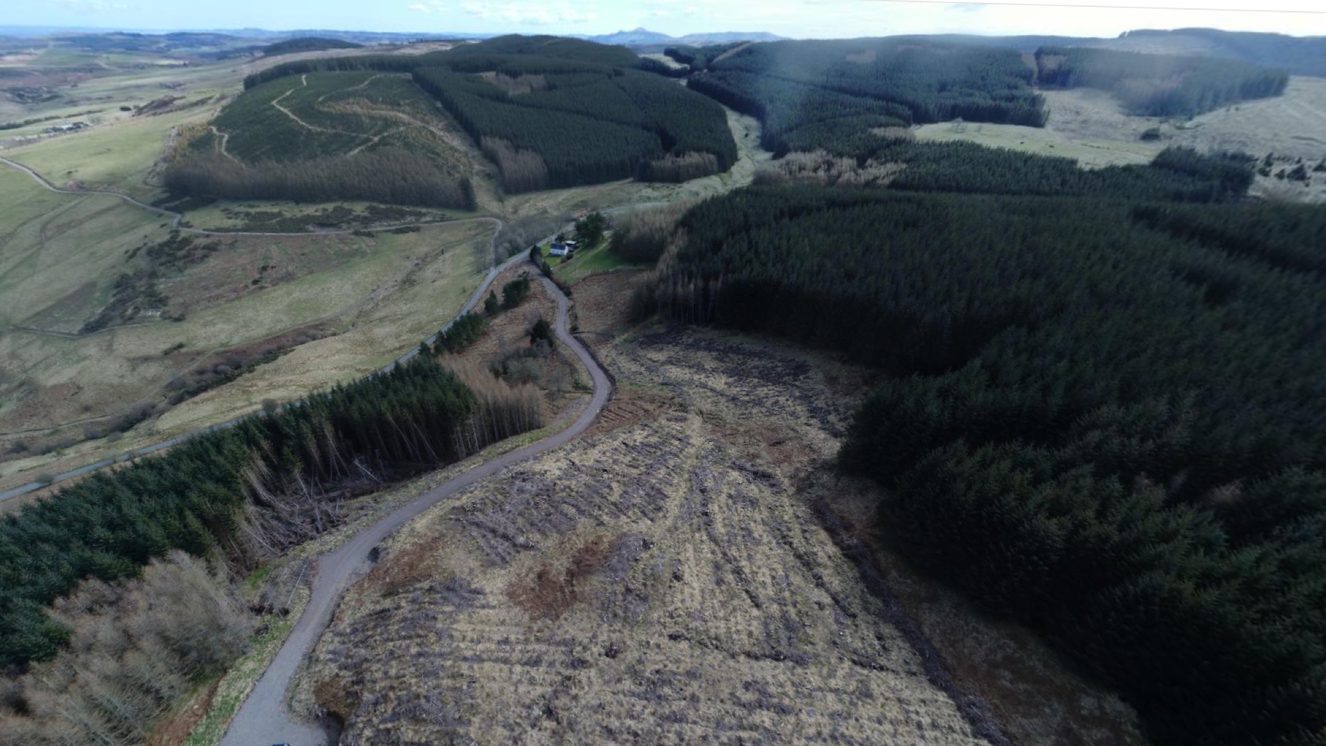
After wildfires tore through Oregon in 2020, charred trees on a cliffside threatened the roadway below. An engineering firm hired to clear the area deployed drones to observe the cliffside from above. Lidar sensors and photogrammetry techniques created a 3D model that the team used to plan its approach. When workers with chainsaws reached the site, they knew exactly which trees to remove.
Drone inspections also have bottom-line impacts. A water utility in central New York estimates it saved $6,500 per tank inspection by using drones to capture images. The UAVs collect data amid weather conditions that would be too dangerous for human workers.
Inspecting Aircraft with an Aircraft
In Delta’s case, semiautonomous drones can now capture images of each plane’s exterior. Human inspectors will examine the imagery to determine whether the aircraft is ready to fly.
For a commercial airplane—as for wind turbines or transmission towers—the challenge of completing a visual review on such a large asset makes drone inspections attractive. An Airbus A350, one of the largest planes in Delta’s fleet, spans 219 feet from nose to tail—longer than a NASA space shuttle—with a tail height equivalent to that of a five-story building.
Drone inspections promise both safer conditions for maintenance crews and faster aircraft readiness decisions, helping to prevent flight disruptions.
Regardless of industry or application, more eyes in the sky will mean more location-rich data to manage. With GIS analysis and human oversight, drones are transforming maintenance operations worldwide.
The Esri Brief
Trending insights from WhereNext and other leading publicationsTrending articles

December 5, 2024 |

June 23, 2026 |

March 3, 2026 |

March 17, 2026 |

April 7, 2026 |

June 2, 2026 |