Technology deployed quickly to manage a crisis often becomes integral for the long term—that may be the case with location technology when historians examine the business risks posed by COVID-19 and climate change.
The COVID-19 pandemic has proved that businesses can react effectively to even massive disruption when they harness location data. At Bass Pro Shops, a real-time dashboard delivers visibility into wide-ranging conditions across the country. That data delivers clarity on business risk and drives better, rapid decisions in a time of uncertainty.
The pandemic has heightened the need to plan for and reduce business risks, and experts now rank climate change among the most significant threats companies face. That realization has spurred what analyst firm Forrester calls a climate risk analytics market. Some corporate leaders now recognize that the location intelligence guiding them through the pandemic will also address risks tied to climate change.
Companies Adapt to Business Risk by Examining Location
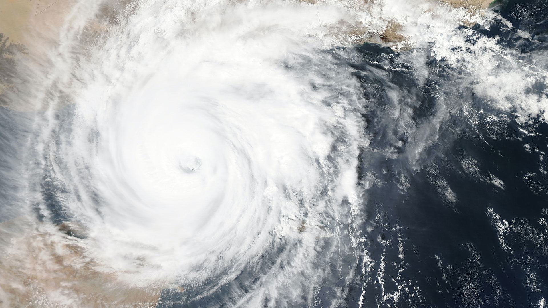
The implications of rising temperatures are being felt now in more frequent and less predictable storms, sea-level rise, and other risks. Executives who focus on long-range planning can prepare for further disruption even as they take action to reduce the pace of warming.
Around the world, coastal communities—their businesses and residents—have been forced to confront rising ocean waters due to climate change. Intense weather events in those locations and further inland have destroyed homes, businesses, roads, and bridges. In some low-lying areas, whole communities have been permanently displaced. Companies operating in those locations have faced disruptions and, alongside municipalities, are actively pursuing resilience strategies, applying location intelligence to gauge business risk and prioritize actions.
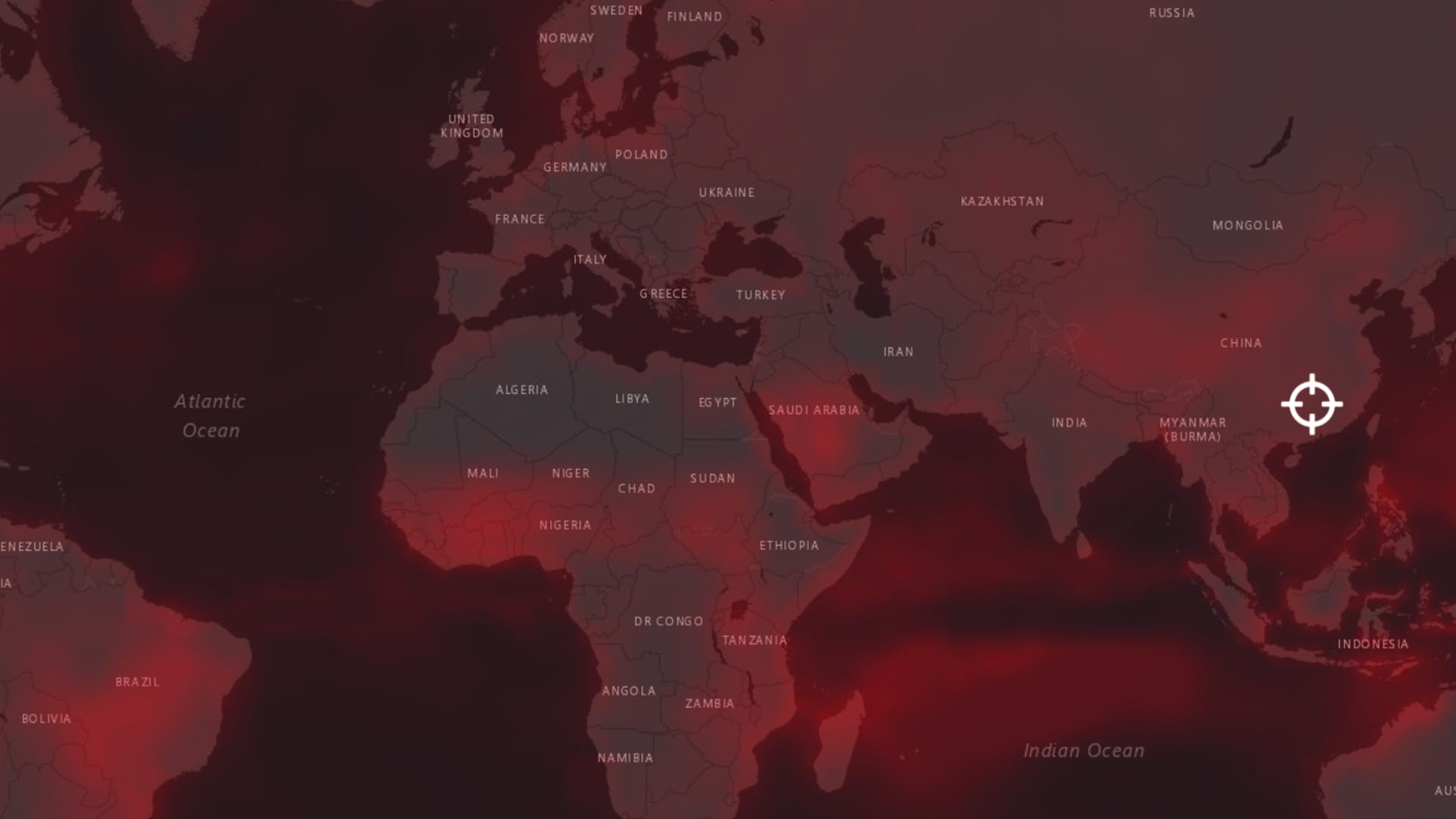
AT&T collaborated with Argonne National Laboratory to evaluate and predict the disruptions it will face for the next 30 years in the southeastern US. This pioneering work used big data analysis and location technology to map where risks will be greatest, and the data is now available to help other companies determine their own vulnerabilities.

During the COVID-19 pandemic, businesses adopted location-centric techniques to assess short-term risk. Now, executives are using the same techniques to measure and mitigate the major long-term risk of climate change.
The Risk of Relying on Diminishing Resources
Companies are also becoming more mindful of the business risk of relying on natural resources to fuel their businesses. A 2014 study in the journal Global Environmental Change pegged the annual economic value of natural resources at more than $100 trillion. Businesses that rely on natural resources for their products or services face the growing realization that supply is shrinking, and climate change may accelerate that decline.
The Coca-Cola Foundation has made a commitment to water quality and availability, driven by the fact that water is the primary ingredient in many Coca-Cola products. Companies that source ingredients from growers—such as Bunge Loders Croklaan with palm oil and Nespresso with coffee—have doubled down on sustainability, helping farmers increase yields, reduce harm to natural ecosystems, and lower the risk of depleting resources on which the businesses depend. In both cases, location intelligence, powered by a geographic information system (GIS), helps the businesses take the long view.
Similarly, energy and utility executives are grappling with the business risk of mistiming their transition to new energy sources. Economics have shifted to favor a more environment-friendly approach, since wind and solar sources are now often cheaper than fossil fuels for energy production. Several major utility and energy companies have committed to being carbon free or carbon neutral by 2050. Location intelligence will decrease investment risk by answering questions such as which locations offer the lowest development costs and the highest returns for renewable energy projects. The shift also promises to reduce another critical risk by eliminating the worry of toxic spills and litigation from environmental damage.
Changing, and Keeping an Eye on Change
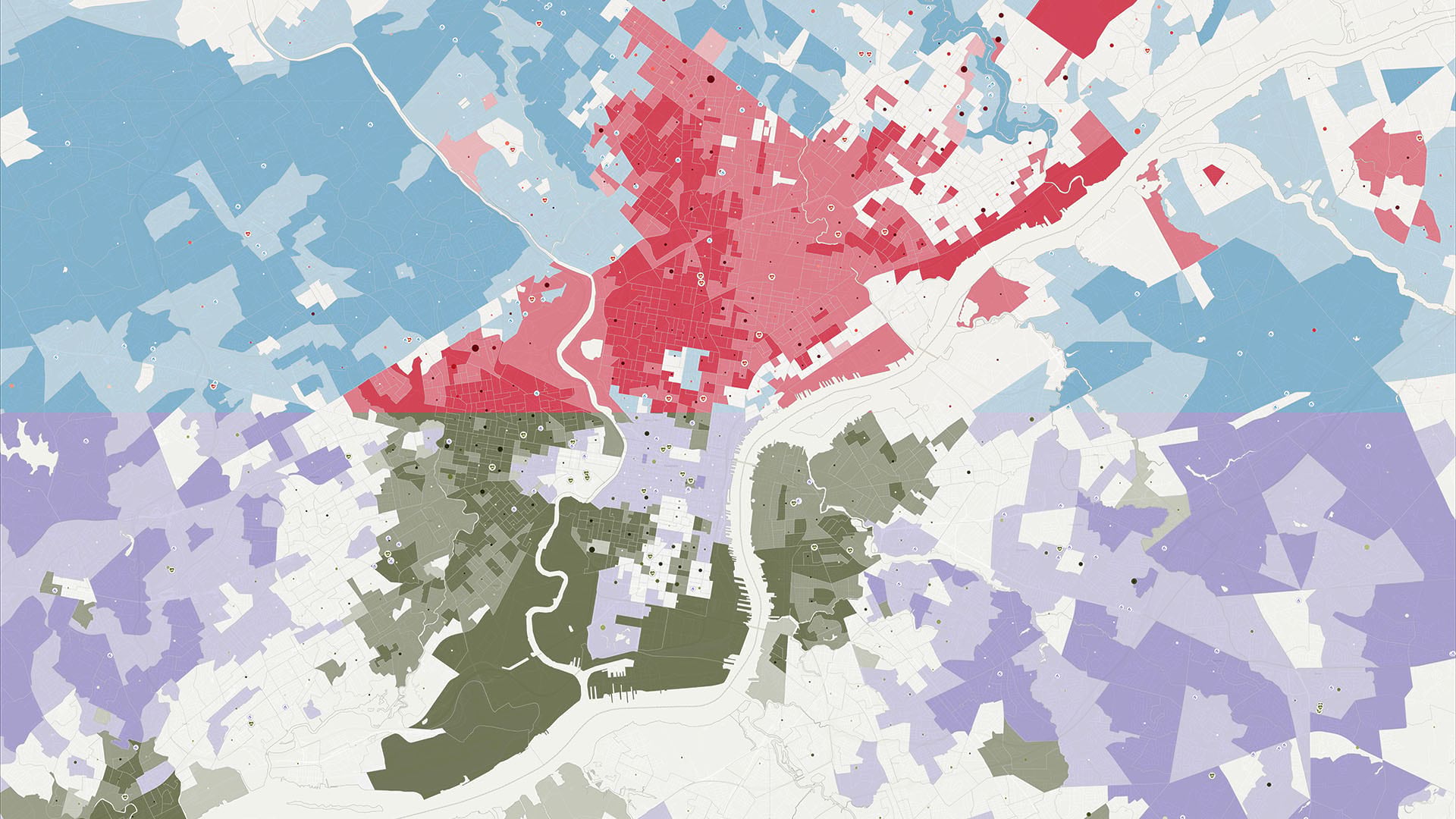
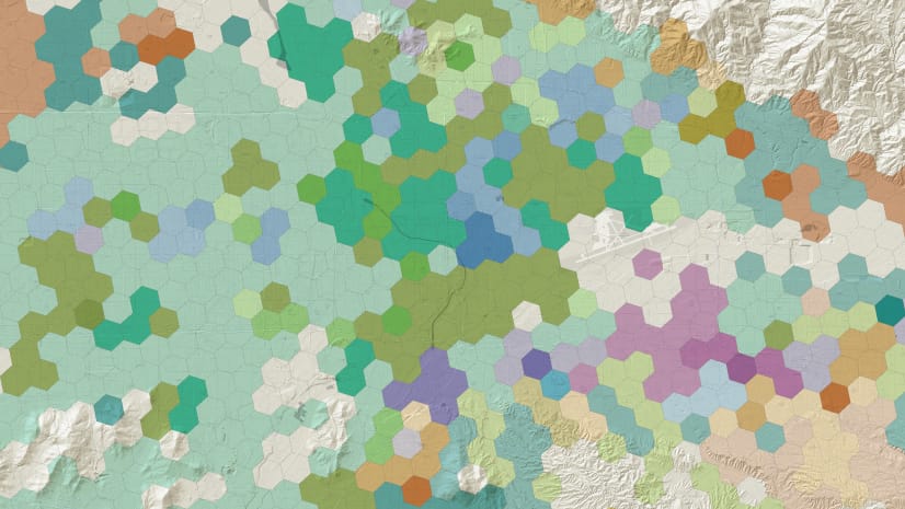
During the COVID-19 pandemic, executives have used map-based dashboards to track key indicators of business and community health. This pattern of monitoring real-time and near real-time data has now been applied to create rolling indicators about the health of the planet, providing greater awareness of collective risk.
As noted by world-renowned economist Jeffrey Sachs, shared goals and collaboration are the only way to make progress on the planet’s most pressing risks.
“We are so profoundly connected that we need the global scale, the super-regional scale, the national scale, and the local scale,” Sachs said at a recent conference, noting the location technology supporting this effort. “That is what GIS enables us to do. It is the multiscale understanding, and the ability to work across scales, that is at the core of achieving a sustainable and fair planet.”
The Esri Brief
Trending insights from WhereNext and other leading publicationsTrending articles

December 5, 2024 |

January 6, 2026 |
February 10, 2026 |

January 27, 2026 |

July 25, 2023 |

March 10, 2026 | Multiple Authors |