Drones have flown into public discourse powered by quad motors and hobbyist appeal. They hover over landmarks, snapping pictures for photography enthusiasts. They form airborne networks to create modern-day fireworks displays.
But what are drones doing for business? How will that evolve in the next several years? And, how have drones improved with the help of big data, IoT, and artificial intelligence?
WhereNext assembled several thought leaders to explore these questions. In this latest installment of the Think Tank series, Esri Professional Services VP Brian Cross leads a discussion with Don Carson, an expert on location intelligence for the utilities industry, and Mansour Raad, a specialist in big data, artificial intelligence, and location intelligence across industries.
Defining Business Value
Brian Cross: I want to cut through the fluff about drones in business, and find out what you’re seeing in reality and on the cutting edge. Don, in your experience, where are executives seeing real business value in unmanned aircraft and remote-sensing capabilities?
Don Carson: There are really two key areas of business value today. One is gaining efficiencies and reducing operating costs, and the second is employee safety. Drones can take video or photographs to assess conditions and help companies pinpoint where services or equipment might be at risk.
A recent report [by Skyward, a Verizon subsidiary and maker of drone software] showed that while only 1 in 10 companies use drones today, 88 percent of those that do have achieved a positive return on investment within a year.
The companies we work with are taking advantage of drones to get into the field faster, cheaper, and with greater safety.
Mansour Raad: Another way to look at it is that drones extend the human senses. Today, companies are using drones to help employees see situations from new vantage points. Tomorrow, drones will extend our other senses, including hearing for noise detection around airports, perhaps; and smell for detecting gas leaks, for example.
The Drone Playbook
Cross: What are some of the workflows and business problems drones are addressing now?
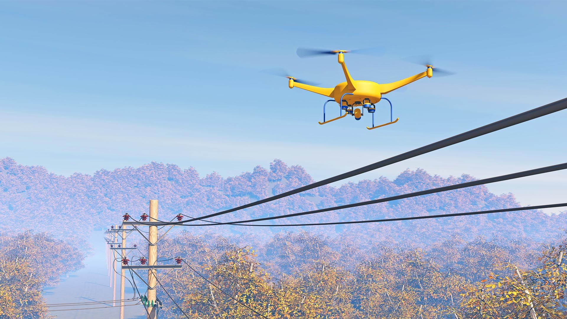
Carson: One example is inspections for utilities—of poles, wireless towers, wind turbines, and other infrastructure. Traditionally, those have required a great deal of time to perform, and come with a high risk to employee safety. In fact, tower climbing is recognized as among the most dangerous jobs. And a single tower climb can cost between $2,000 and $5,000. Drones make that work faster, cheaper, and safer.
Cross: But there’s more to using a drone for business purposes than a hobbyist might realize.
Carson: That’s true. Companies that see the best return on this technology have what we call a high location IQ. They understand that you don’t just launch a drone and hope to find something that benefits your operations. They identify a business challenge, define the flight paths that will help them assess the challenge, and then use location intelligence to analyze the data and identify actions they should take.

Since drones can fly quite low and deliver high-resolution output, some agricultural companies are using them to detect crop health—down to individual plants and individual leaves.
Extending the Human CPU
Cross: Mansour, how are companies making sense of the big data collected by drones, and how are they doing that more efficiently than the human CPU can?
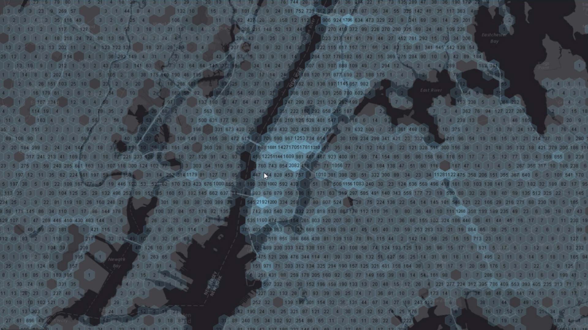
Raad: Actually, the technology for processing and analysis is starting to become fairly attainable to everybody, and a lot of organizations already have the infrastructure to support it in the form of data lakes and streaming data processing.
At this point, most companies that use drones are in batch mode. They fly the drones, take pictures or video, then download the data into their data lakes on premises or in the cloud. Some advanced companies are streaming drone footage in real time. More companies will be doing that before long. [See the sidebar, “IoT, Edge Processing Transform Drones.”]
To break through the limits of the human CPU, as you call it, smart companies are using artificial intelligence and machine learning to process drone footage. At the beginning, a human employee labels some of the images—identifying a broken insulator or a leaky valve, for instance. The AI program learns from that and takes over the analysis.
To visualize that analysis, most companies use a geographic information system [GIS], which delivers location intelligence in the form of beautiful, expressive maps. They use the maps to pinpoint where field crews need to take action, such as replacing a faulty insulator or repairing a leak.
Precision from the Air
Cross: We talked about the telecom and utility scenarios. Where else do you see companies putting drones to work?
Carson: Agriculture is an interesting use case. Since drones can fly quite low and deliver high-resolution, multispectral output, some agricultural companies and farms are using them to detect crop health—down to individual plants and individual leaves.
An agricultural expert looks at the raw footage, identifies a set of affected leaves, and then artificial intelligence does the rest of the analysis by learning what indicates poor crop health. The analysis is mapped by a GIS which identifies the location and condition of specific plants. In the end, the farmer learns precisely where crops are doing well and where they’re doing poorly, and can adjust treatment with precision. That’s having a big impact on crop yield and the bottom line. When you consider that just one crop disease in one state cost the industry $104 million in a year, you get a sense for why detection is so important.
Raad: And agriculture is an area where drones might provide more than visual inspection. When most people think about imagery, they think about what they see when they look at their house in Google Maps. But remote sensing has long been able to take advantage of other data to do things like sense crop moisture. Drones are adding that type of analysis to their capabilities.
Eyes on Business Expansion
Cross: Don, what are you seeing in terms of drones helping companies manage the growth of their business and infrastructure?
Carson: As companies expand, they’re constructing new facilities, and they’re using drone technology to support expansion. During construction activities, drones can:
- provide status reports on progress
- perform volumetric calculations to show when building materials are running low and need to be restocked
- and reveal potential risk areas on a construction site
There’s a high degree of human involvement in site inspections, so drone-based surveys typically save money and time.
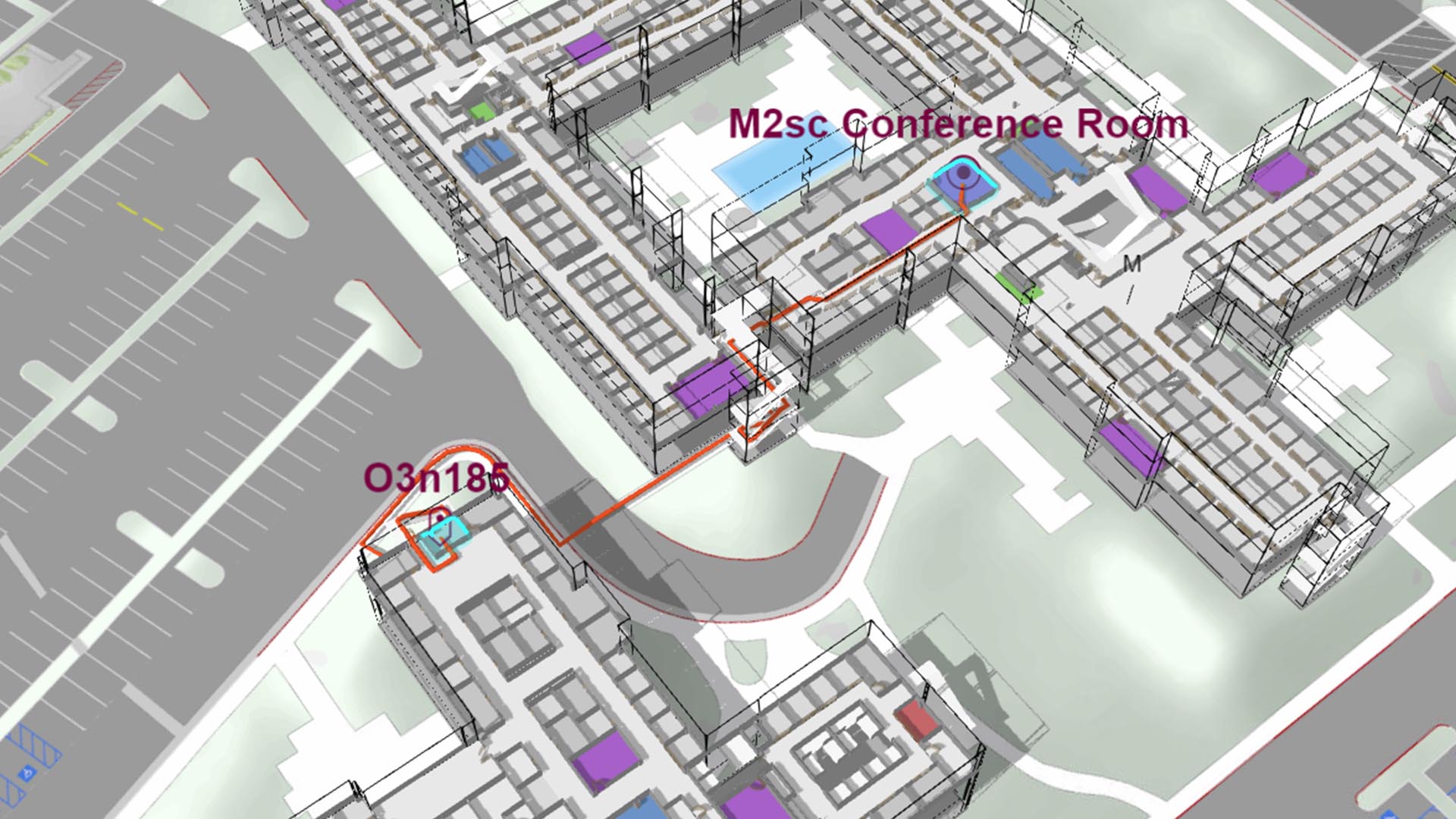
Another use for drones isn’t in the sky at all. Some organizations are using ground-based and indoor drones to map their facilities. Drones take pictures or lidar images throughout the facilities, and then GIS technology creates maps and floor plans that give employees a common view of the workplace or industrial environment. By combining those maps with data from IoT devices like smartphones or sensors, companies can do advanced routing and analytics on the indoor environment, including patterns of movement, assets, and infrastructure. It’s a whole new frontier for companies in many industries.

Today, drones are primarily extending our vision. It will be very interesting to watch as they evolve to encompass our other sensors, such as noise, aura, and smell.
Assessing Asset Health
Cross: Mansour, are you seeing other uses for drones overseas?
Raad: We are. In one case in South America, a natural resources company is analyzing drone imagery to extract hidden features such as roads. They use artificial intelligence to infer where the roads are, and that helps them create an accurate map of their network and route supplies more efficiently.
In northern Europe, a timber company is using drones and AI to manage resources. They want to see which trees are growing where, and how healthy they are. So they’re using drones and GIS to identify where particular trees are, what kind they are, and—more importantly, based on a combination of photography and lidar data—understand their growth over time.
Drones for Competitive Intelligence
Cross: Historically, some large companies and hedge funds have used satellite imagery to gather intelligence on competitors—noting the status of a new facility, or how much oil a company has in its reserves. Are drones making it easier to gain competitive intelligence?
Carson: Yes, certain companies are “spying” on competitors by flying drones above their facilities. The simplistic example is a retailer that flies a drone above a rival store and uses the number of cars in the parking lot to estimate sales. That costs a lot of money to do with satellites, but with drones it’s more manageable.
Another case we’ve seen is wineries. Drones can fly over competing wineries to examine growing conditions, slope, and planting patterns. That kind of location intelligence can be valuable to business executives.
More than Eyes in the Sky
Cross: Where do we go next with drones? Are there any scenarios where the drone won’t simply be eyes in the sky, but will perform a business task?
Carson: Telecom companies are exploring drones as a way to cover gaps in wireless cell coverage. Think of the drone as an airborne cell tower and antenna all in one. This could be especially useful during hurricanes and other natural disasters—providing temporary wireless communications to first responders, for instance.
Raad: Facebook and Google are already experimenting with similar techniques to provide Wi-Fi in developing countries. Facebook has developed solar drones that stay aloft and provide service—although they may outsource that work. Google’s Project Loon—which is now its own company under the Alphabet umbrella—uses balloons to provide wireless connectivity.
Amazon hasn’t been shy about wanting to deliver packages by drone, and some logistics providers are planning their own fleets of drones for last-mile deliveries.
Perfecting all these applications will require a high location IQ, because you can’t get the right products to the right people without reliable location intelligence.
The Esri Brief
Trending insights from WhereNext and other leading publicationsTrending articles

December 5, 2024 |

March 3, 2026 |

June 23, 2026 |

March 17, 2026 |

April 7, 2026 |

June 9, 2026 |