displaying 23 results

The 2023 Esri User Conference showed that GIS professionals understand the world’s interconnectedness and know how to tackle big challenges.
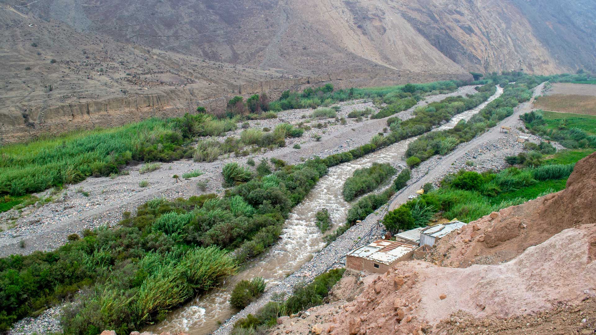
GIS-based 3D models are helping the Peruvian government rebuild public infrastructure after widespread flooding and plan for the future.

Find out how to celebrate GIS Day, and discover how AI helped make Esri’s latest land-cover map of the world more temporally consistent.

DashFLUboard allows users to monitor wild bird migrations and connect outbreaks of Highly Pathogenic Avian Influenza (HPAI) around the world.
ArcGIS Video Server, a new server role in ArcGIS Enterprise, allows users to perform geospatial video analysis on the web.
Geospatial artificial intelligence fuses AI with geospatial data, science, and technology to speed up workflows and solve spatial problems.
Elevate the look and feel of your web maps by setting rules that determine how text, pop-ups, and other dynamic content get displayed.

A pioneer in GIS, Metro—the area’s metropolitan planning organization—is using ArcGIS Hub to democratize access to authoritative data.

Zambia’s ministry of health uses geoenabled maps to help distribute insecticide-treated mosquito nets and indoor residual spray.

A deep learning model in ArcGIS Living Atlas of the World automatically detects parking lots that are ideal for solar panel installation.

By automating communication, the Southern California Association of Governments better manages data contributions from local jurisdictions.

Discover how ArcGIS Field Maps helped improve butterfly conservation efforts in Yamhill County, Oregon.