Diana Lavery

(she/her/hers) Diana loves working with data. She has 15 years experience as a practitioner of demography, sociology, economics, policy analysis, and GIS. Diana holds a BA in quantitative economics and an MA in applied demography. She is a senior GIS engineer on ArcGIS Living Atlas of the World's Policy Maps team. Diana enjoys strong coffee and clean datasets, usually simultaneously.

Posts by this author
Yet another reason to cite your sources: it shows up in maps

Take the guesswork out of your item's source and show your integrity as a scientist. Also, it shows up in your map!

Continue Reading

The perfect layer effect for differentially-private data: Blur

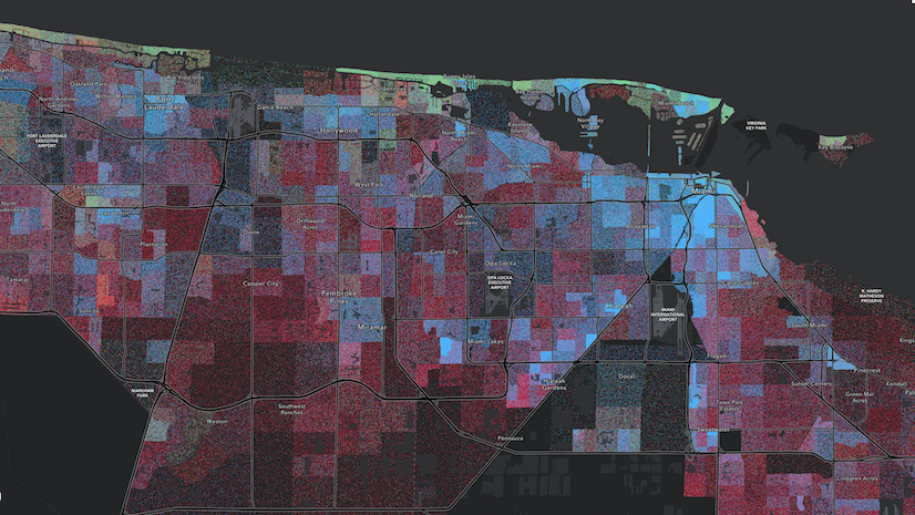
Blur simply creates a "fuzzy" look in your map, which signals to your map's audience that there is some noise in the data.

Continue Reading

Justice40 tracts now available in Living Atlas

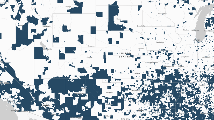
Esri recently released the latest Justice40 Tracts from the Council on Environmental Quality into ArcGIS Living Atlas.

Continue Reading

Call for Stories of GIS in Qualitative Social Science Research

Are you using GIS to answer qualitative social science questions? If so, we'd love to hear about your work!

Continue Reading

A tour of a feature layer’s Data tab in ArcGIS Online

View histograms, frequency tables, metadata, and more. Explore, edit, and manage tabular data in a feature layer's Data tab.

Continue Reading

Can your map’s title be a question?

Most likely, you made a map in order to answer a specific question. Break all the rules and use that question to title your map.

Continue Reading

Use the newly-updated CDC PLACES items in Living Atlas to improve health in your community

The Centers for Disease Control and Prevention (CDC)'s PLACES layer, maps, and apps in Living Atlas are now updated.

Continue Reading

Gender identity and sexual orientation data is now in Living Atlas

Gender identity and sexual orientation data for states and 15 largest metropolitan areas is now in ArcGIS Living Atlas.

Continue Reading

Updates coming to American Community Survey layers in ArcGIS Living Atlas (Spring 2022)

The American Community Survey (ACS) layers in ArcGIS Living Atlas will be updated in March 2022 with the newest 2016-2020 data from the Census.

Continue Reading

1 2 3 4 5 9