3D mapping and cartography have applications across a broad swath of industry, government, & academia. These examples hint at the possibilities.
3D data is increasingly available from a wide variety of different sources. The examples featured here hint at the possibilities.
With 3D GIS, you bring an extra dimension into the picture. Let’s take a look at some commonly used terms in 3D GIS.
3D is how we see the world. With 3D Web GIS, you bring an extra dimension into the picture.
You can follow the five steps in the spatial problem solving approach to address a whole array of problems and questions.
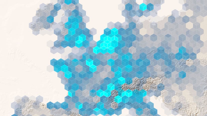
By Clint Brown and Christian Harder. Spatial analysis is the process of geographically modeling a problem or issue, deriving results by...
By Christian Harder and Clint Brown. Insights for ArcGIS is a browser-based analytic workbench that enables you to interactively explore...
By Clint Brown and Christian Harder. Most data and measurements can be associated with locations and, therefore, can be placed on the...
By Clint Brown and Christian Harder. Spatial analysis allows you to solve complex location-oriented problems and better understand where ...