John Nelson
Connect:

I have far too much fun looking for ways to understand and present data visually, hopefully driving product strategy and engaging users. I work in the ArcGIS Living Atlas team at Esri, pushing and pulling data in all sorts of absurd ways and then sharing the process. I also design user experiences for maps and apps. When I'm not doing those things, I'm chasing around toddlers and wrangling chickens, and generally getting into other ad-hoc adventures. Life is good. You might also like these Styles for ArcGIS Pro: esriurl.com/nelsonstyles
Posts by this author
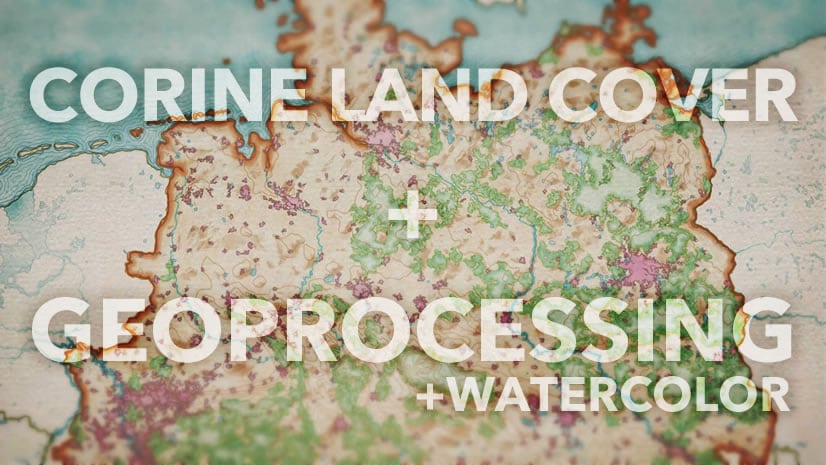
Land Cover, Geoprocessing, and Paints

Running a bevy of marvelous geoprocessing tools on Corine land cover data, getting it in shape for the watercolor brush.

Continue Reading

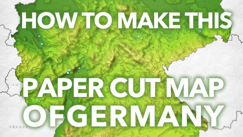
How To Make This Paper Terrain Map of Germany

Instructions regarding tracing, cutting, and gluing, and layering bits of paper to make an elevation map. JK it's all digital!

Continue Reading

Zip Codes of Craigslist

How to grow drive-time economic zones and associate them with zip codes.

Continue Reading

Steampunk Election Cartogram Pt 2

Part 2 of 2. How to make this odd steampunk cartogram. And why!

Continue Reading

Steampunk Election Cartogram Pt 1

Part 1 of 2. How to make this odd steampunk cartogram.

Continue Reading

Reflections on Projections (and vice-versa)

Unwrapping the reflection on a sphere with map power.

Continue Reading

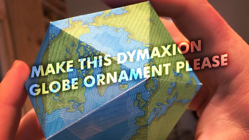
Make This Dymaxion Globe Ornament Please

The 2019 globe ornament is here; deck the halls!

Continue Reading

Steal This Faded Overlay Style Please

Sometimes you want to highlight your study area, or geographic area of interest, or whatever, with a nice faded overlay vignette.

Continue Reading

One Minute Map Hacks: 16-20

So many hacks. So little time. Good thing they're just a minute long.

Continue Reading

1 20 21 22 23 24 37