Communities of color have historically been unserved and underserved with needed resources for thriving. This means they have suffered more during times of crisis. COVID-19 is no different. Underserving and not serving communities of color predictably puts them at a great disadvantage for risk and death during a pandemic. Therefore, proactive engagement is critical. This pandemic is disproportionately burdening people of color. Given this truth, our response to COVID-19 must be consciously equitable. Prioritize meaningful, participatory engagement with communities of color for an equitable COVID-19 response.
Engage Communities of Color
A smart community response to a crisis is inclusive of its members at every decision making point. To that end, people most affected by a disaster must have a seat at the table. Doing so ensures the right solutions are proposed. Often, policymakers propose the wrong solutions due to a lack of community engagement. For example, if you are interested in increasing testing, you might add more testing sites. However, if the problem is not the number of sites but transportation, safety, and hours at testing sites, this approach will not help. Listening and responding to community needs while focusing on investing upstream where the needs are greatest helps you to respond to the right problems. During COVID-19, organizations should engage communities of color in planning, implementation, and recovery phases of emergency response as well as evaluations on additional actions needed to thrive beyond the pandemic.
Key Stages of Engagement
An equity lens is built around equitable engagement. However, there are stages where targeted equity engagement is key throughout your crisis response effort. Here are a few of those critical moments to engage with communities of color and other disproportionately burdened stakeholders:
- Analysis & Assessment Stage – Engage with communities of color in focused equity discussions when attempting to assess the impact of the crisis. You will need their input to really understand where the needs are greatest and to make investments upstream.
- Resource Allocation Planning – Engage with communities of color when planning where and how to distribute critical resources. Doing so ensures adequate unmasking of inequities so the right resources get to the right places.
- Ongoing Status Updates – Engage with communities of color throughout your policy implementation. Doing so enables real-time feedback to ensure the policy has the intended impact with an equity lens.
GIS Can Help
Esri has tools to help you engage your communities in an equitable framework around needs. In this blog post, we will review a few ArcGIS applications that support equitable community engagement:
- Survey123 – Crowdsourcing Community Needs
- ArcGIS Hub – Partner with Existing Networks
- Story Maps – Storytelling for Racial Equity
Survey123 – Crowdsourcing Community Needs
Esri’s crowdsourcing software is a great tool for engaging constituents and learning community needs. Crowdsourcing is the process of collecting information from people voluntarily. This can provide critical insight into the needs of your community.
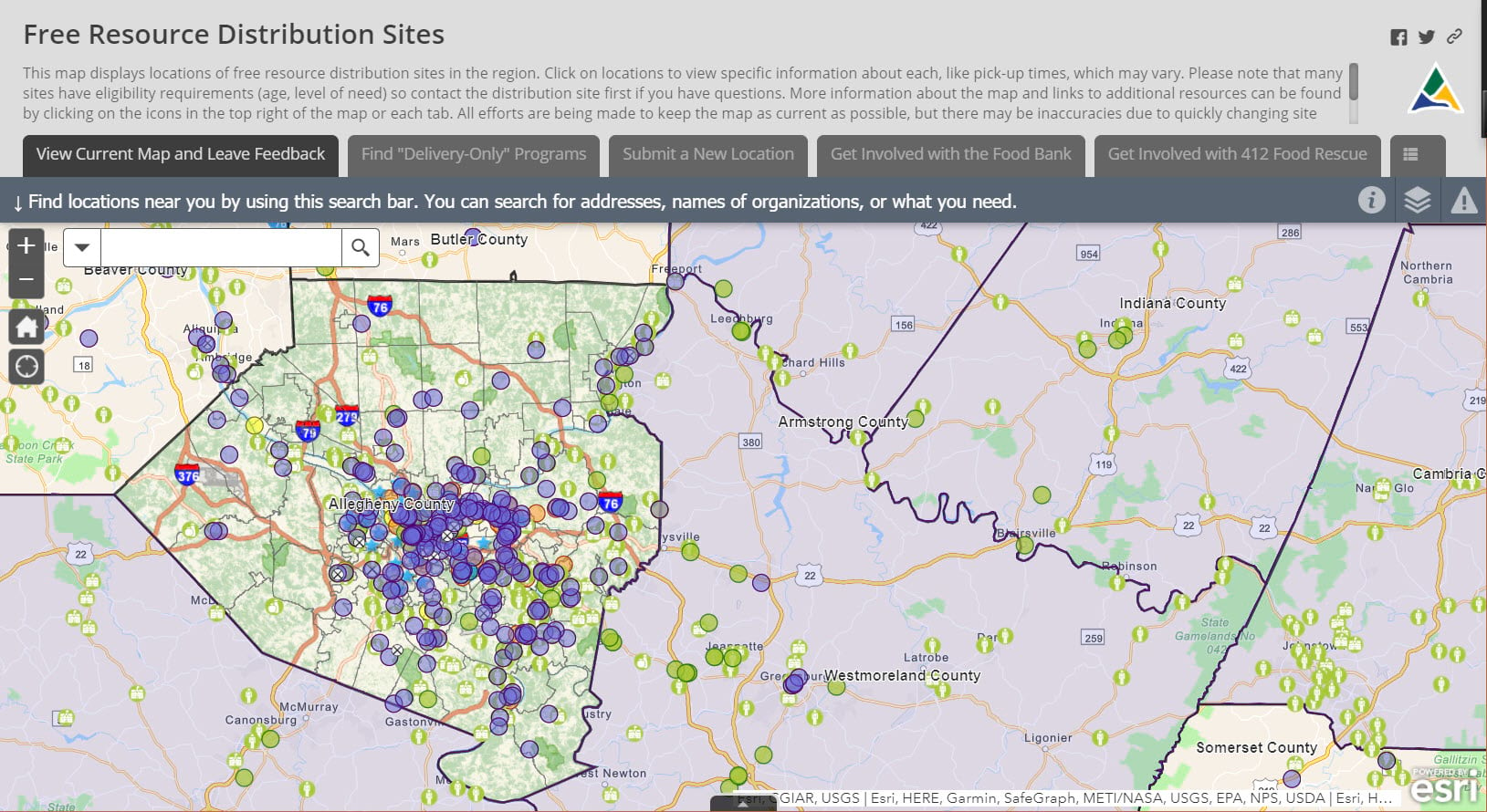
Allegheny County, PA created an excellent crowdsource application for their community in response to COVID-19. The map shows food and resource distribution sites for people in need. They also provide information on how to use benefits like SNAP. The application gives various ways for community members to get involved – by volunteering for short-term events, as well as by helping with the application. Allegheny Country created formal community partnerships with the Greater Pittsburgh Community Food Bank and 412 Food Rescue as well as schools to create a holistic picture of the county’s resources and unmask unserved and underserved communities. This collaboration has benefited all involved. By crowdsourcing information through Survey123, Allegheny County keeps information up-to-date.
ArcGIS Hub – Partner with Existing Networks
Community engagement must include using existing networks. Sometimes these networks lack an equity lens. Communities of color have an ongoing and repeated history of persecution and suffer through impacts from modern day inequitable decisions. Therefore it is unlikely that you can expect meaningful engagement if this is a new outreach practice. However, there are many community networks that you can partner with to increase your equity and programmatic impact. Meet communities where they live, learn, worship, and play. This involves partnering with faith-based, educational, and community organizations. In responding to COVID-19, a true community partnership is holistic. This means not just giving out resources in the short-term but creating long-term partnerships around equity.

The crowdsourced resource distribution application currently showcases 700+ locations because of our partnerships and help from the community. We have seen updates or new distribution locations submitted every day since launching this map to the public.
Use ArcGIS Hub to collaborate through participatory engagement with community organizations, volunteers, and members of your community. Community leaders and community organizations can provide vital insight into the needs of communities. Such insight is particularly valuable given racial disparities in access to broadband, smart technology, and personal computers. Esri is providing a COVID-19 Hub template complementary for organizations. Learn more about the COVID-19 template through the Esri Disaster Response Program.
Browse Existing ArcGIS Hub Sites
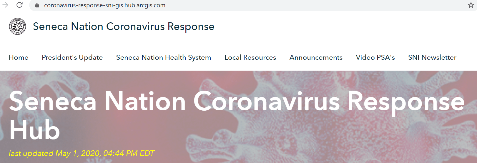
Many communities have already launched ArcGIS Hub sites to respond to COVID-19. You can browse existing ArcGIS Hub sites here. For example, Seneca Nation’s hub site and Navajo Nation Epidemiology Center hub site have extensive online resources for citizens of their respective nations. Collaborating with existing entities that have already been serving disproportionately burdened communities can often be more effective than starting a brand new initiative. Listen to the needs of these communities and respond accordingly.
Story Maps – Storytelling for Racial Equity
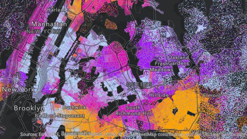
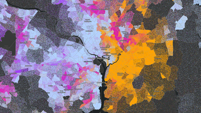
Interactive Story Maps can help communicate where and why racial and health inequities exist. A Story Map called Death in Black & White by DemLabs offers a powerful example. This Story Map embeds interactive maps, text, videos, historical photos, and other media to tell a powerful story about racial inequities in access to care. This combination provides an immersive, powerful experience.
Best Practice: When telling any story about racial inequities, ensure the people most impacted by inequities are engaged in crafting the narrative.

We Want to Hear From You
How is your organization responding equitably? Please share your success, tips, and challenges by commenting here. You can also share your experience and questions using the GIS for Equity and Social Justice GeoNet Forum.
Thank You to our Collaborative Partner
Nicole D. Franklin, Masters in Demography and BA in Applied Math, Statistics & Sociology, is a leader in Equity and Technology. A technologist for public sector IT resources, she champions the non-binary realities of technology as a human right. Nicole is an advocate for integrating GIS Tools as a critical resource in race and social justice strategic planning as upstream investments, where the needs are greatest. Her work leverages and innovates technology to advance Equity and Social Justice. Nicole’s sustainable cross-sectional applications are respected on local, regional and national levels.



Article Discussion: