What is a projection, and what are the trade-offs associated with flattening our roundish planet into flatland?
Fun fact: somewhere in the world, at any moment, a geographer is talking about peeling oranges.
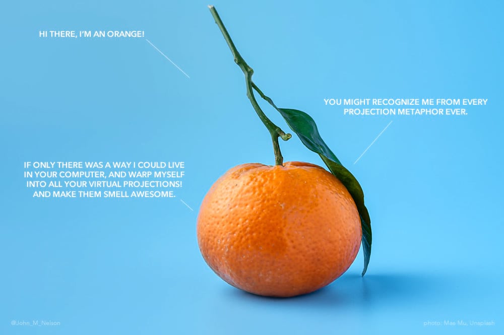
Yes, yes, the orange and all that. If you are reading this blog then you are probably well aware of the convenient citrus stand-in for geodesy. Yesterday I was peeling an orange and, as is the way of many a geographer, I tried to peel it in some sort of mappy way. Naturally I shared a tweet about it.
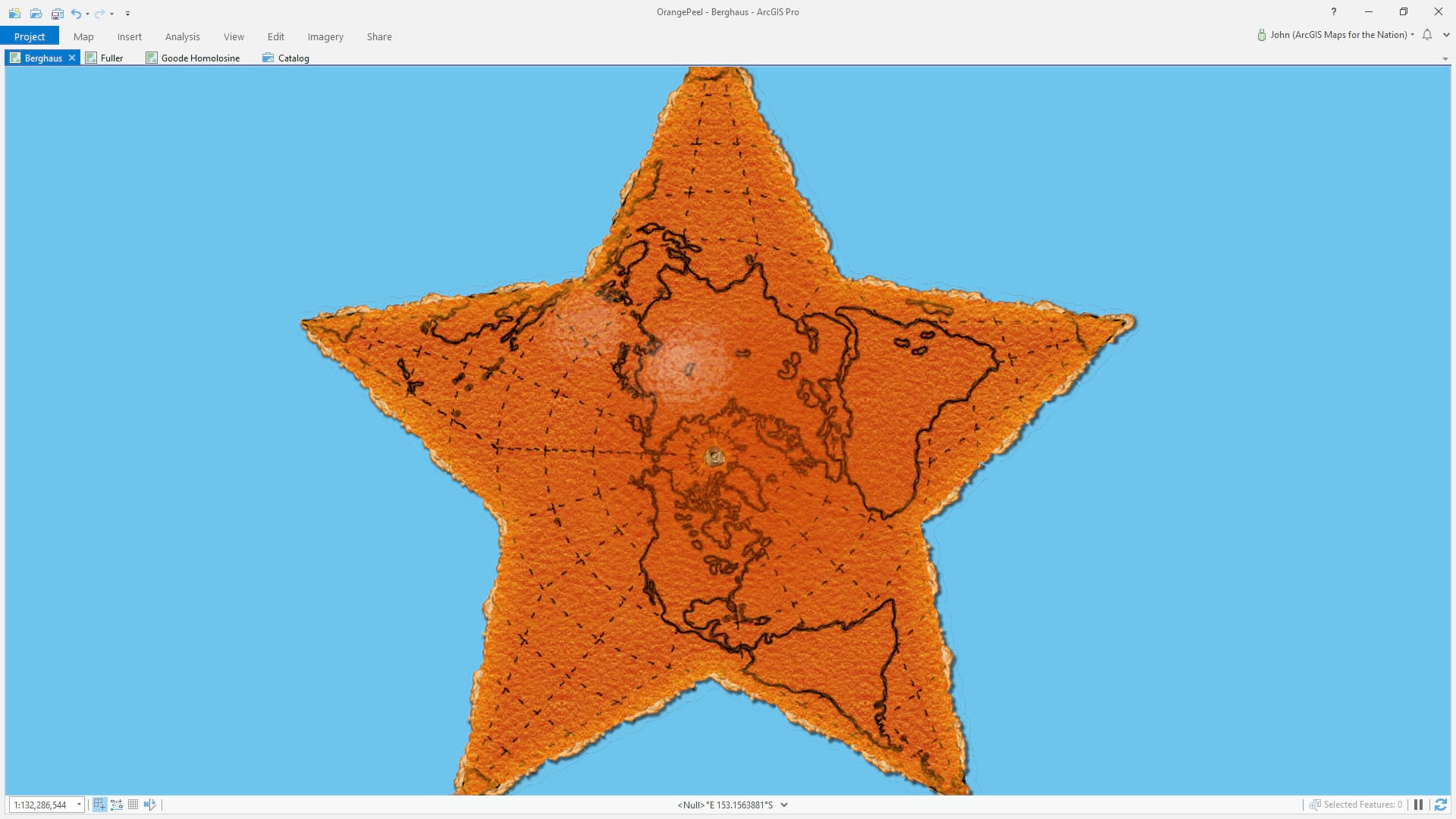
I got to thinking, shoot, I bet I could make a plausible orange peel effect in ArcGIS Pro. So I peeled away at it!
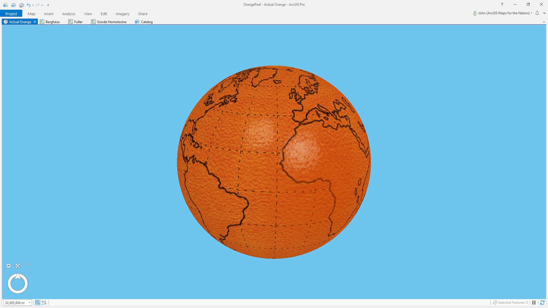
Here is an orange floating in blue space, with some carefully penned-in coasts and graticule.
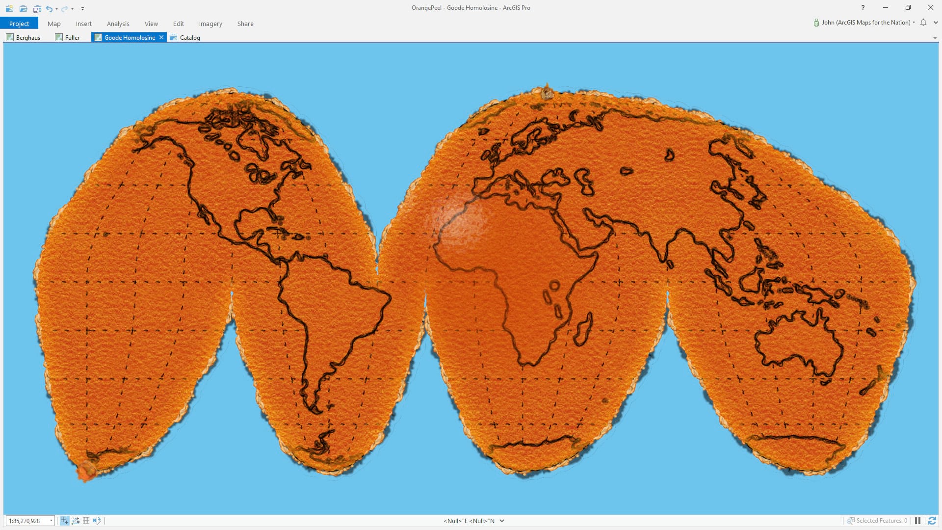
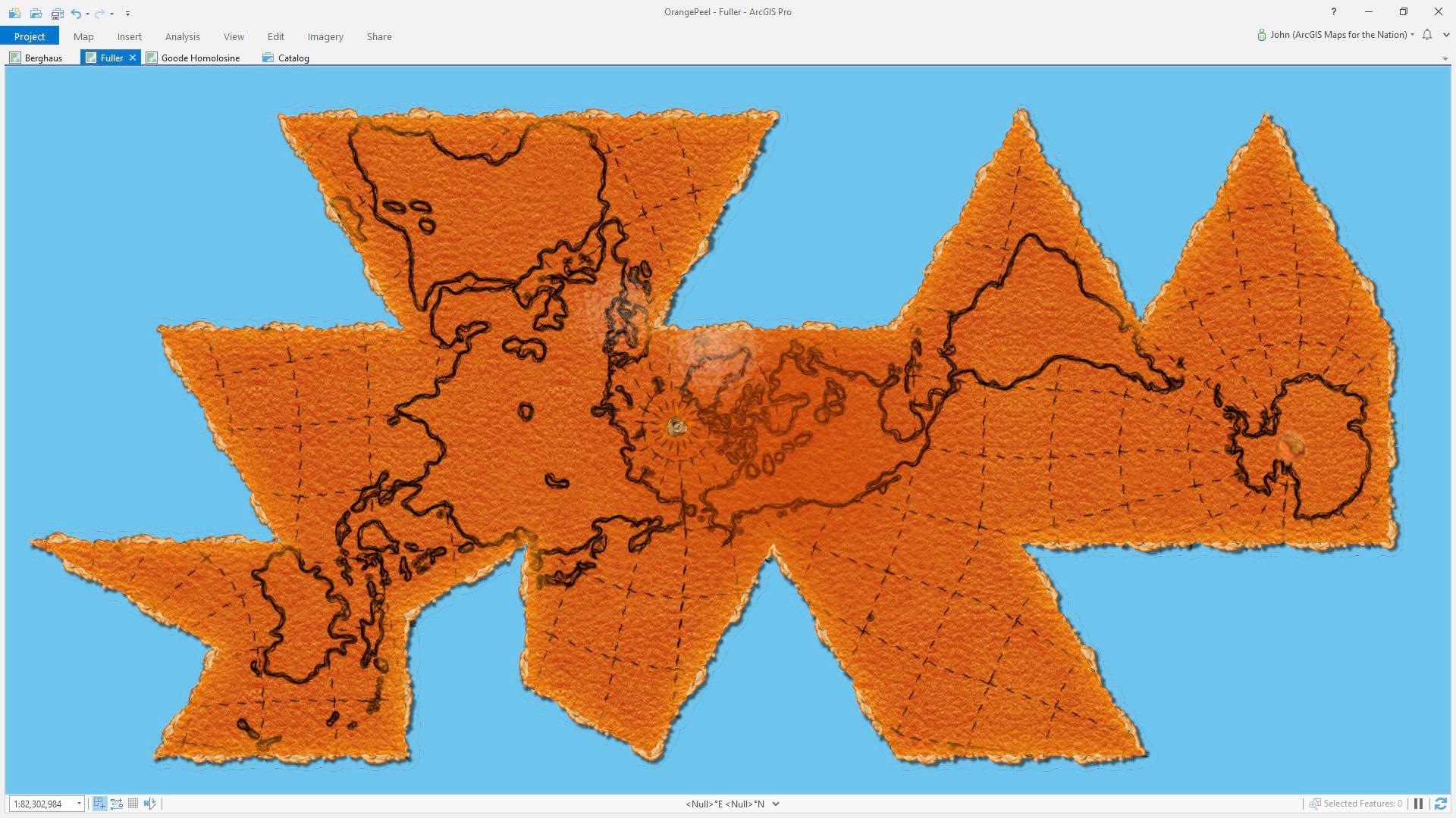
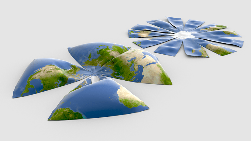
Ready? Here it is un-peeled in a few familiar projections…
Are you a teacher and want to fire up ArcGIS Pro and just go absolutely crazy illustrating the myriad ways that projections shrink, squish, stretch, cut, and tear the earth? Without getting out the sharpie and a knife? Then download this orange peel / earth peel project and start peeling out projections all over the place.
Happy Peeling! John
P.S.
Here is a classic projection illustration using non-canonical fruits, but valuable nonetheless.

What, no Spilhaus?
Here you go, Matthew! https://twitter.com/John_M_Nelson/status/1234833956207546370