The November 2023 release of ArcGIS Image Analyst for ArcGIS Pro brings exciting enhancements to simplify deep learning workflows, solve complex problems with multidimensional and Synthetic Aperture Radar (SAR) data, work with high fidelity motion imagery, and enable efficient stereo mapping workflows. These new capabilities will allow you to streamline your workflows, making it easier to get the most out of your imagery and remote sensing data.
Deep Learning
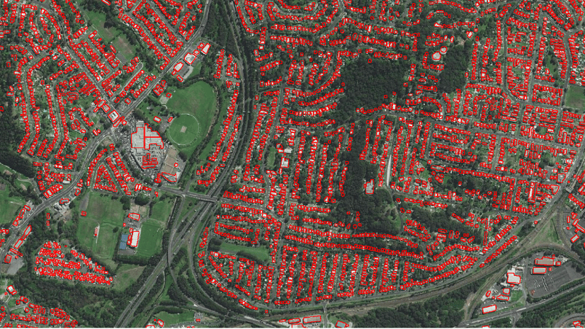
The emphasis of this release was to significantly enhance your user experience to capture training data, train a deep learning model, and review model metrics. The highlights are the new “Train Deep Learning Model” wizard enables assisted workflows for users to intuitively train a deep learning model and the “Review Deep Learning Models” pane to review model metrics. There are several productivity enhancements including support for multiple GPUs, automatic determination of batch sizes (ensuring optimum usage of the GPU), and more data augmentation options (to inflate training data when needed). Check out this blog for a deep dive into what’s new in deep learning.

Image Science
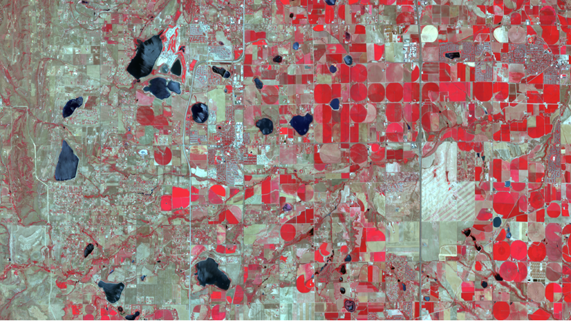
We could traditionally support multidimensional rasters that contain the dimension of time (x, y, time), dimension of depth (x, y, z), or both (x, y, z, time), there are instances where users create data with an additional dimension (x, y, z, time, model). To support 4+ dimensional rasters, the multidimensional tab has been enhanced to allow users to select slice(s) of any dimension.
Support for more trajectory data types also empowers users to create trajectory datasets and conduct analysis. Furthermore, the update introduces a set of new raster functions and geoprocessing tools specifically designed to cater to the needs of raster and image analysis. To learn more about these updates, please check out this blog post.

Synthetic Aperture Radar (SAR)
SAR data allows you to visualize and analyze clear images even in challenging weather conditions like rain, smoke, or clouds. As a result, SAR is widely used to detect environmental changes caused by natural or human-induced events.
In this release, take advantage of support for all the following SAR sensors: Capella SICD, ICEYE SICD, RADARSAT-2 NITF GRD, RADARSAT-2 NITF SLC, RCM NITF GRD, and RCM NITF SLC. In addition, new raster functions and tools have been introduced to help you detect potential bright objects or dark areas within the ocean, compute SAR indices, such as Radar Vegetation Index (RVI), Radar Forest Degradation Index (RFDI), and Canopy Structure Index (CSI), and much more. Discover all that’s possible with SAR in ArcGIS Image Analyst. Need help getting started with SAR? Please take a look at our resources.
 for the Vancouver.")

Motion Imagery
The latest update includes support for higher fidelity (4K) video formats with no performance hindrance. This enhancement allows for more detail in each video, supporting tasks like remote inspection workflows, which save time and protect workers. With higher resolution, users can now easily capture detailed footage, ensuring that no important details are missed during inspections and other tasks.
Stereo Mapping
You can now work with 3D stereo mouse devices within your stereo environment. This feature has been a long-standing request from users, particularly those who require stereo capture. The update supports two 3D stereo mouse devices: the Stealth Mouse and the Softmouse. With this enhancement, you can work with greater precision and control, allowing you to capture and analyze data more effectively.
Check Out the Latest Additions
We’re excited to hear what you can accomplish with this release. If you wish to share your ideas or ask questions, please visit us on the Esri Community.
If you’re just starting with the ArcGIS Image Analyst extension for ArcGIS Pro, we hope you find this get-started guide and our product documentation helpful.


Article Discussion: