Over four live chats from August through November, the ArcGIS Storytelling and ArcGIS Living Atlas teams will create a food access story while working through four key stages of geospatial storytelling. From uncovering story ideas and finding supporting data to assembling, refining, and publishing a complete story, we’ll go behind the scenes of the entire process, demonstrating practical techniques you can use in your own storytelling projects.
August 12: Finding the story in your information
September 9: Adding ArcGIS Living Atlas content
October 14: Assembling and theming your story
November 10: Putting the finishing touches on your story

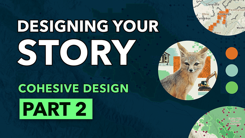
Assembling and theming your story
In our third chat, we explored how visual design and story layout choices can transform a content inventory and narrative into a cohesive, immersive storytelling experience. We discussed building a visual direction, structuring information for readers, and choreographing maps to support and guide the narrative.
Build a mood board
Establishing the visual direction of your story will help make design decisions more consistent and intentional throughout the storytelling process.
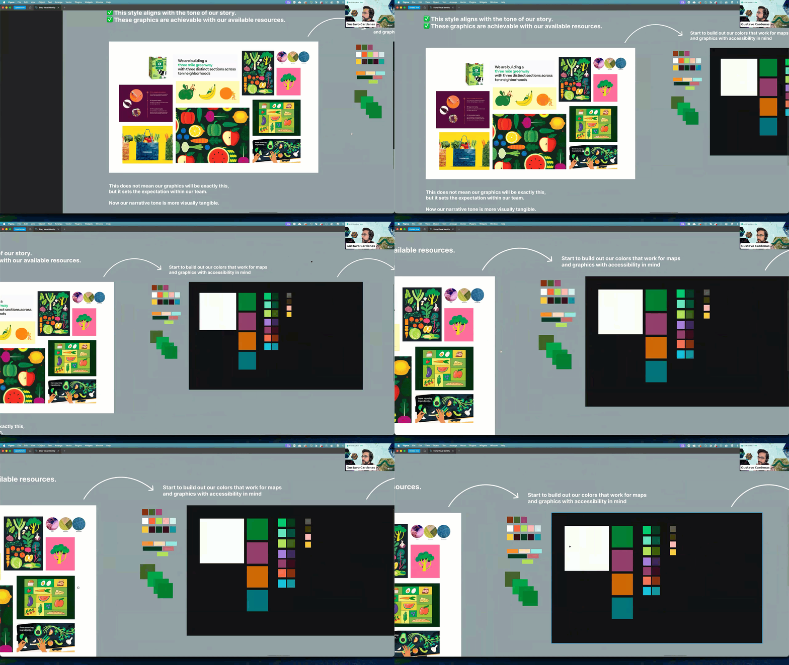
During the chat, we demonstrated how a mood board can help define the visual identity of a story by bringing together examples of color palettes, illustration styles, photography, typography, and other design elements.
Create a cohesive visual style
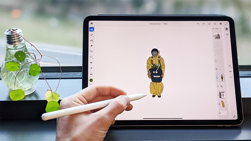
Every visual element should support the message you’re trying to communicate. We explored techniques for selecting fonts, creating simple supporting graphics, and reusing design elements throughout a story to reinforce consistency.
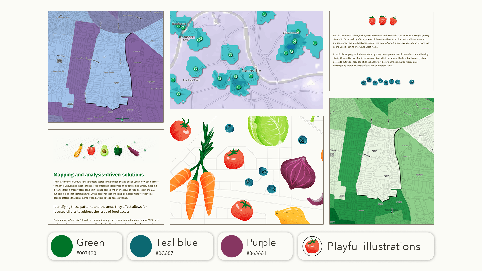
Small touches and recurring visual motifs can help tie individual sections together and create a more polished reader experience.
Think about story layout
Thoughtful layout decisions help guide readers through complex topics without overwhelming them. We discussed approaches for breaking content into manageable sections, creating engaging openings, balancing text with visual elements, and maintaining momentum from beginning to end.
Maps can drive the story
Maps are most effective when used with purpose. During the chat, we highlighted techniques such as map choreography and media actions to guide readers through information and reinforce key ideas.
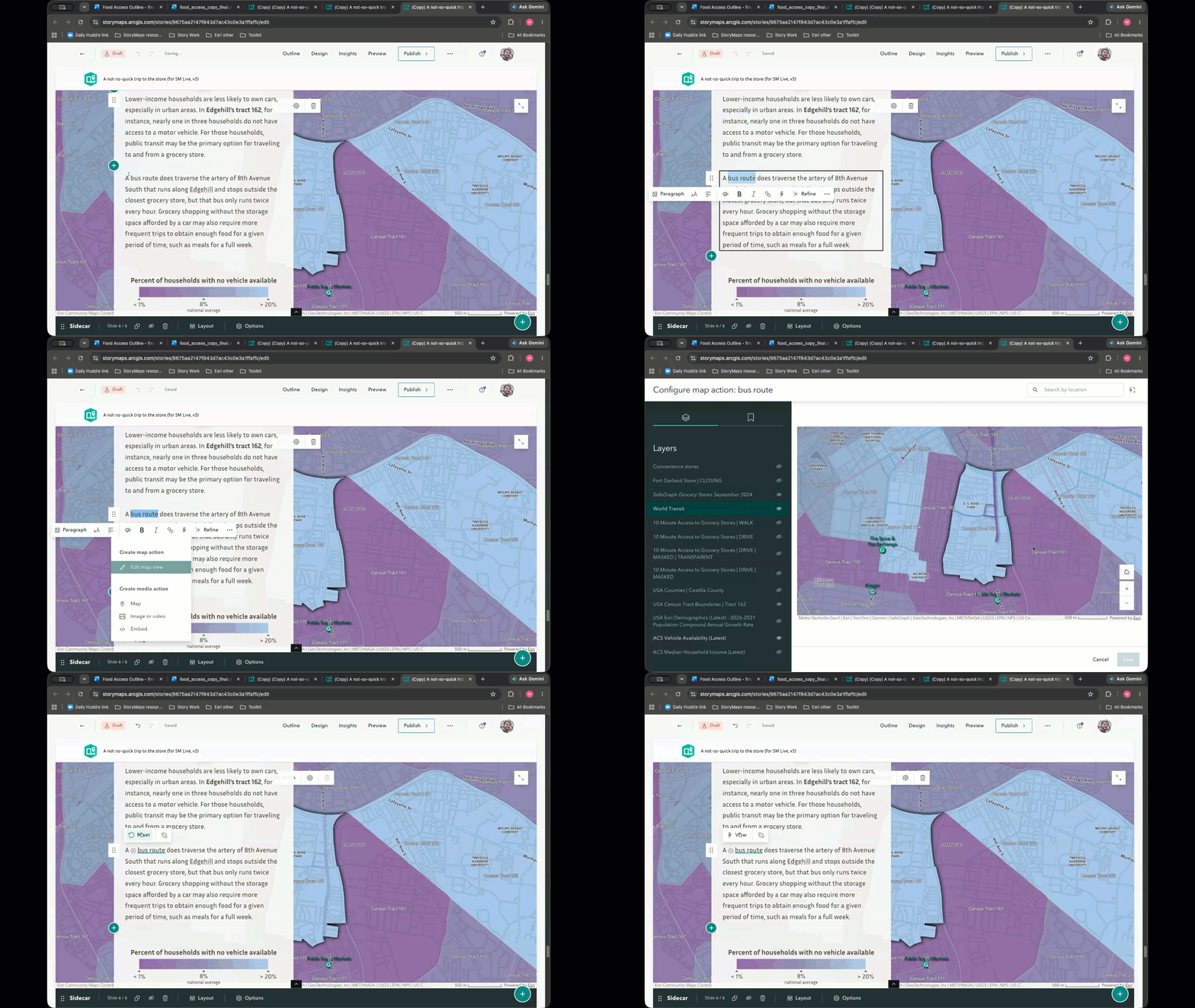
Rather than functioning as standalone visuals, maps should actively support or drive the narrative by revealing information at the right moment and helping readers focus on what matters most.
Further learning and practice
The following resources were referred to during our live chat to reinforce key concepts you should consider when assembling and theming your geospatial story:
ArcGIS Blog
Choreograph your maps with ArcGIS StoryMaps
Learn how to create an intentional sequence of map views to guide your readers.
Documentation
Esri Color Ramps
Find color palette inspiration from Esri color ramps for mapping.
Short video series
Six ways to start your story
Explore different methods for grabbing the attention of your audience.
StoryScape
Finding your rhythm
Learn how to organize your content and narrative to create stories that flow.
Designing for discovery
Learn how to transform passive reading into an active, exploratory experience.
Tutorial series
Introduction to making maps for storytelling
Learn how to craft maps that support and guide readers through your narrative.
Create a theme for a geospatial story
Learn how to create a cohesive reader experience that reinforces your story’s message.
Watch the recording
If you missed the live chat or want to review the discussion, we’ve got you covered! Find the recording below or visit our playlist of previous ArcGIS StoryMaps Live chats.
Join us for Chat 4
Register for our final ArcGIS StoryMaps Live chat of 2026 on November 10, Putting the finishing touches on your story. We will discuss how to refine your content, improve clarity, and ensure your story is accessible and complete. See you there!

2026 ArcGIS StoryMaps Competition
Are you putting in the work to craft a compelling geospatial story? Get inspired by the 2025 competition winners and submit your own story to the 2026 ArcGIS StoryMaps Competition.

Being a winner of the 2025 ArcGIS StoryMaps Competition is much more than a title; it is an invitation to push innovation and ensure we portray stories with heart and resilience. As a 2024 ArcGIS StoryMaps Competition winner, I can tell the 2025 winners that you are about to see a spike in views — if you haven’t already — and this is not something to take lightly.

Article Discussion: