Over four live chats in 2026, the ArcGIS Storytelling and Living Atlas teams created a food access story while working through four key stages of geospatial storytelling. From uncovering the story and crafting maps for storytelling to assembling and publishing a complete story, we went behind the scenes of the entire process, demonstrating practical techniques you can use in your own storytelling projects.
Catch up on all the chats using the links below or keep reading to review what we covered in this chat.

Finding the story in your information
Adding ArcGIS Living Atlas content
Assembling and theming your story
Putting the finishing touches on your story

Putting the finishing touches on your story
In our final chat, we took a step back from the story we just built to consider it from a reader’s perspective. Refining and testing the experience, making it accessible, and preparing to share your work can help ensure your finished story is truly complete.
Refining and polishing
Working through the first few stages of building a compelling geospatial story is an accomplishment, but that doesn’t mean your story is ready for an audience.
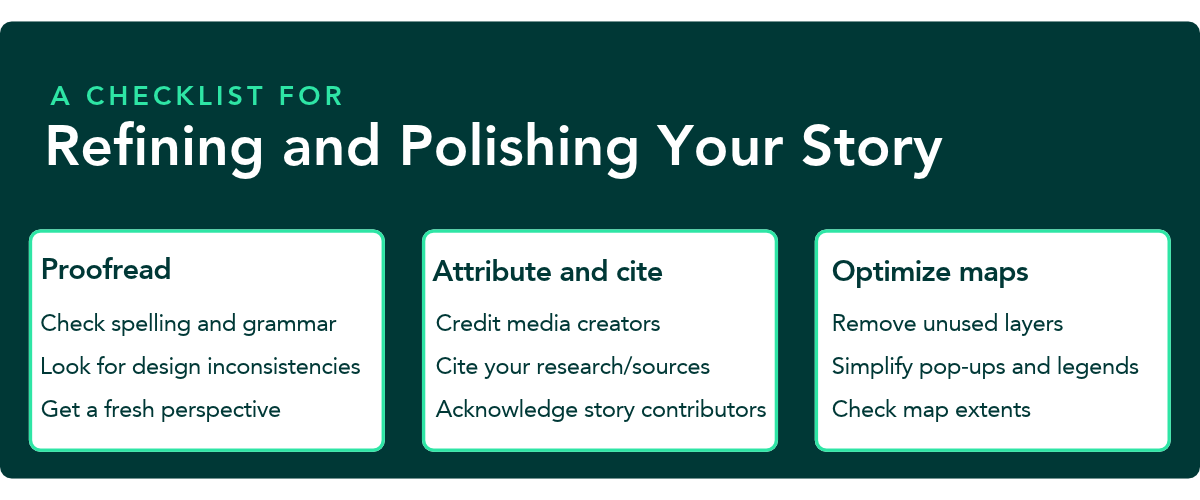
Too much information, unnecessary maps and media, or unclear sources can distract from what you’re trying to say. Refining your work helps clear those obstacles.
Accessibility
Designing with accessibility in mind acknowledges that there’s a reader on the other side of the screen and opens the door for more people to engage with what you’ve created.
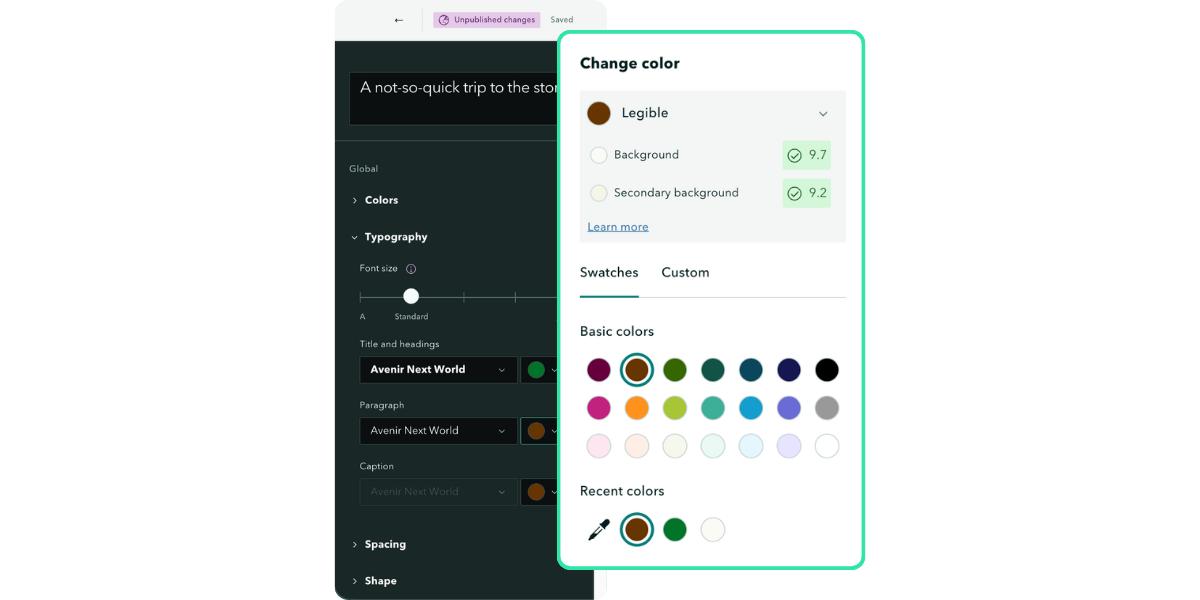
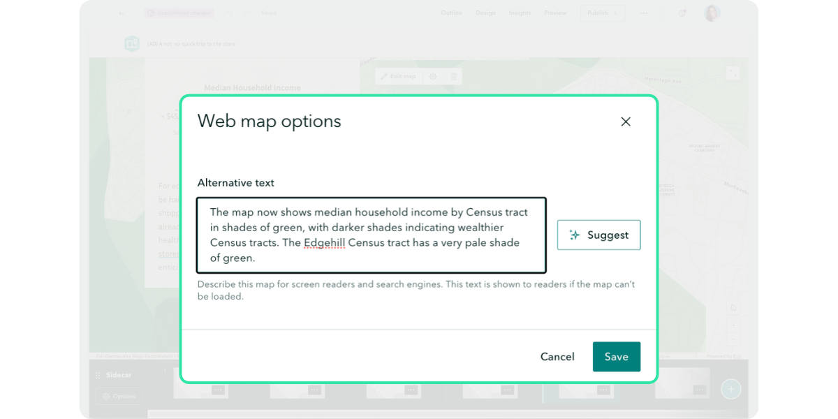
Choices like using sufficient color contrast and providing meaningful alternative text can remove barriers that might otherwise leave some readers behind.
Testing and previewing
Testing and previewing your story across screen sizes gives you a chance to experience the story as a reader and catch where something could interrupt the narrative.
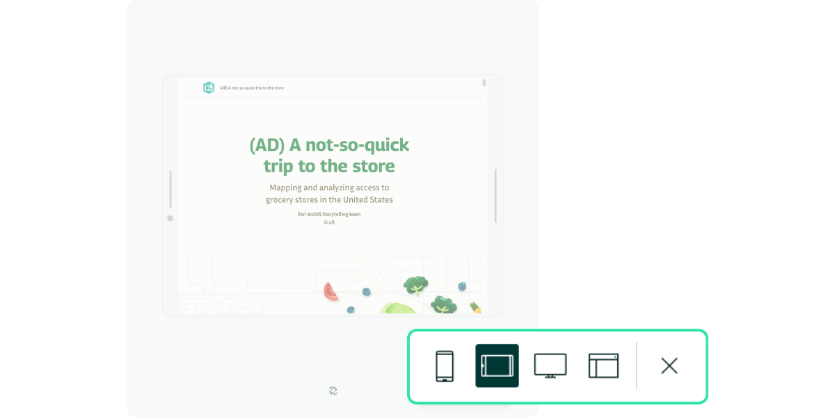
A web map error, broken link, or faulty embed introduces friction between your audience and the story you want them to experience.
Publishing
How you present and share your story shapes whether people find it, understand what it offers, and decide it’s worth their time. Refine your title and summary, choose a thumbnail that represents the story well, complete the item details, and plan how you’ll promote it. These final details help prepare your story for the audience you worked so hard to reach.
Further learning and practice
The following resources were referred to during our live chat to reinforce key concepts you should consider when putting the finishing touches on your story:
ArcGIS Blog
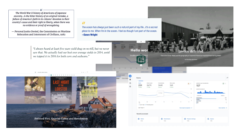
Details matter: Elevate your story with these finishing touches
Twelve practical ways to polish your story before publishing and sharing
Effective strategies for engaging with your audience
Five strategies for building a story that engages your audience
Improve your story performance in ArcGIS StoryMaps
Structure your story for a reliable reading experience
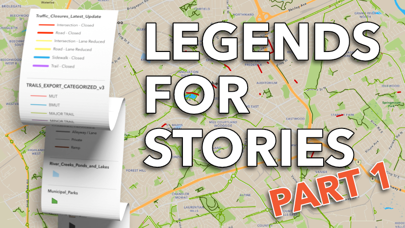
Legends for storytelling part 1: Optimizing the basics
Craft legends that reinforce and advance your story.
Documentation
Esri Color Ramps
Color palette inspiration from Esri color ramps for mapping
Short video series
Previewing your story
Preview your story across different screen sizes
Tutorial series
Foundations of accessible storytelling with maps
Make accessible and inclusive stories with practical techniques and tools
Watch the recording
If you missed the live chat or want to review the discussion, we’ve got you covered! Find the recording below or visit our playlist of previous ArcGIS StoryMaps Live chats.
2026 ArcGIS StoryMaps Competition
Are you putting in the work to craft a compelling geospatial story? Get inspired by the 2025 competition winners and submit your own story to the 2026 ArcGIS StoryMaps Competition.

Being a winner of the 2025 ArcGIS StoryMaps Competition is much more than a title; it is an invitation to push innovation and ensure we portray stories with heart and resilience. As a 2024 ArcGIS StoryMaps Competition winner, I can tell the 2025 winners that you are about to see a spike in views — if you haven’t already — and this is not something to take lightly.



Article Discussion: