DTN
DTN develops decision-support tools and forecasts for actionable insights in the weather sector, as well as in agriculture, financial analytics, and transportation.


Geospatial resources for forecasting, preparedness, and adaptation
In this free massive open online course, learn how you can use GIS to drive positive climate action.

The GIS for Climate hub provides access to a variety of resources such as climate data, visualizations, ArcGIS lessons, examples, and applications to get you started in climate analysis or help develop more advanced workflows.
Through partnerships and open data sharing with authoritative federal sources, Esri provides predictive analysis data on various weather-related risks, as well as live feeds of incidents. With this information, organizations can plan for these extreme events and monitor and react to them in real time.
The National Center for Atmospheric Research (NCAR) is partnering with Esri to provide global climate data and models for ArcGIS Living Atlas of the World, particularly for the NCAR Community Earth System Model. This is driving new apps and lessons furthering understanding of the atmosphere to benefit science and society.
View data, maps, and imagery contributed by our many partners in ArcGIS Living Atlas of the World.
Explore Living Atlas layersThis program fosters interdisciplinary science and training for new and specialist users of GIS for atmospheric research, climate change adaption, public health, and safety.
Explore the programNASA JPL sends the first GIS map to Mars to navigate treacherous terrain.

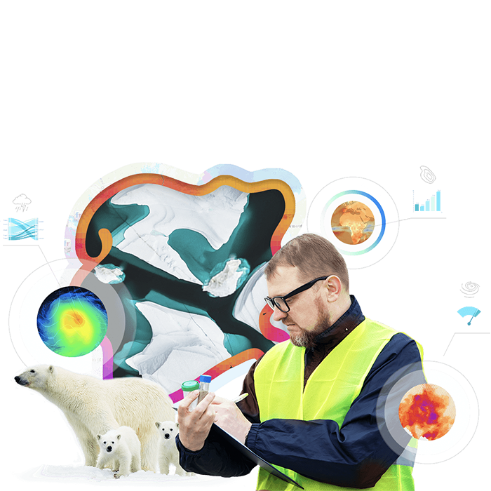
Esri supports a variety of enterprise GIS operations within NOAA's National Weather Service (NWS), as well as the multiagency National Ice Center (NIC), the US Navy, and the US Coast Guard. The NIC's Satellite Image Processing and Analysis System, guided by ArcGIS sea ice and iceberg maps, helps ensure safe navigation in polar regions for ships operating near, through, and beneath sea ice.
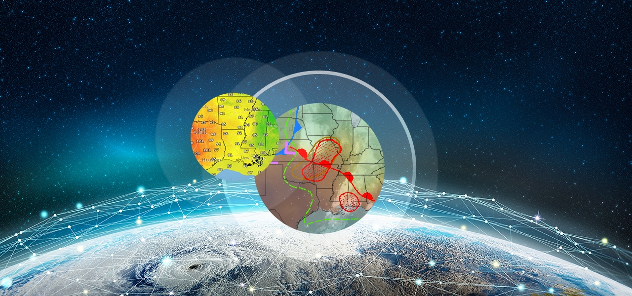
DTN develops decision-support tools and forecasts for actionable insights in the weather sector, as well as in agriculture, financial analytics, and transportation.
We are pleased to be working with this program on a couple of fronts, for example in support of their first public visualization of aerosol data. NASA’s Terra satellite passed over Australian bushfires on 12/16/19 and captured one of the most impressive smoke plume data sets ever seen. See also their Australian Fires story map in Maps and Apps.

The Ocean, Weather, and Climate Summit is part of the Esri FedGIS and is included with your conference registration. Immerse yourself in the vibrant ocean, weather, and climate community, where you’ll explore cutting-edge advancements and discuss the latest trends in these fields.

This free webinar covers the resources, tools, and data developed by Esri and its partners to support integration of meteorological and related information into the everyday work of weather forecasting companies, local governments, utilities, research institutes, insurance companies, first responders, and more.

Don't miss these detailed, informative, and insightful blog posts from Kevin Butler and others, writing on the intersection of climatology with spatiotemporal analytics and machine learning.
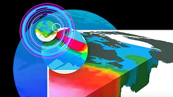
GIS-based 3D voxel layers and animation
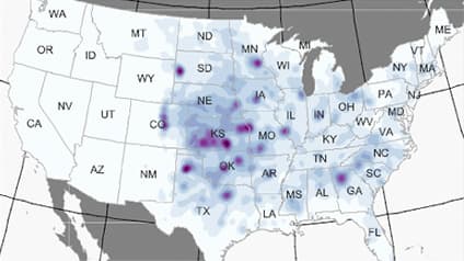
GIS and hail climatology
Climate and machine learning
Climate and Python Notebooks
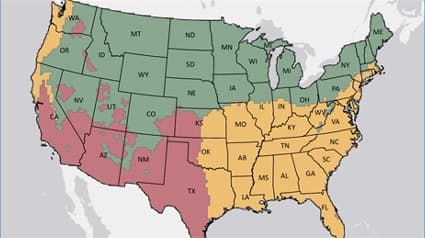
Severe weather warnings, watches, and advisories
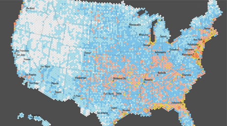
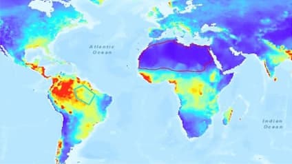
GIS climatology

GIS-based voxel visualization

Climate impact on wine production