Skip to Content

Operations

Find clarity in complex airport operations

Successful airports need to carefully choreograph a host of complex activities to achieve smooth operations. GIS allows you to integrate dynamic information from various systems to get a comprehensive view of airport operations. Understand bottlenecks quickly and make fast, informed decisions that drive smooth operations.

Solutions for airport operations

Get a single dynamic view of your operations

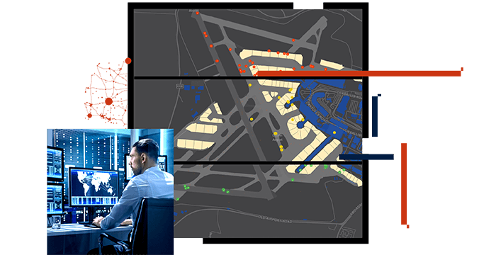
Monitoring all your operational systems in one comprehensive view allows you to get ahead of emerging problems. Visualize all moving assets, understand emerging issues, and take proactive control with a centralized operations dashboard. GIS gives you visibility of your airside, terminal, and landside systems for greater control and smoother operations.

View real-time operational performance

With location analytics, you can monitor and improve your operational performance in real time. Integrate systems like an airport operations database with GIS to understand consequences of delayed flights and weather disruptions. Then, make proactive adjustments to maintain the most efficient operations. Continuously monitor and improve your performance with GIS—a hallmark of smart airport management.

Strengthen collaboration and communication

Improving airport performance requires careful coordination and collaboration among different entities including airlines and air traffic control, and within various airport divisions themselves. GIS technology provides the framework for secure information sharing. It's designed to improve coordination and, ultimately, the safety and security of your passengers.

Testimonial

Location intelligence saves Geneva millions

What I can do is prove to you that we're more efficient, we're responding quicker, and that we're basically optimizing our resources.

Thomas Romig

Head of Operations Control and Development, Geneva Airport

Read the article

Products for airport operations

Previous
Next

Contact sales

Connect with the Esri aviation team