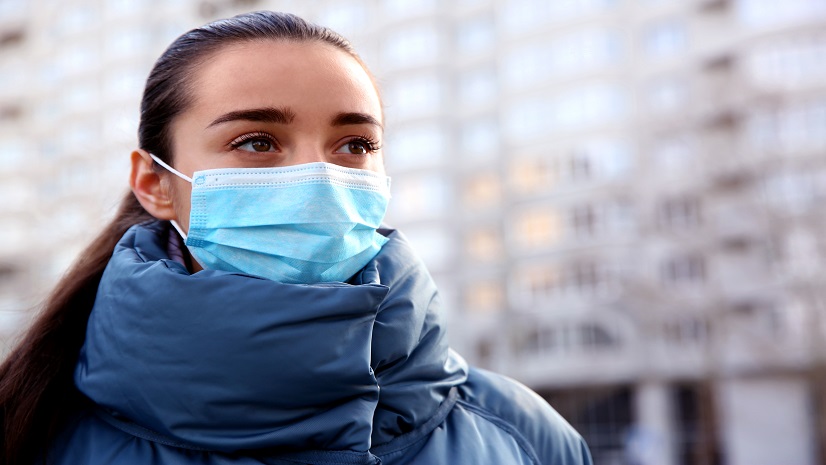
As we mark World Malaria Day, I’d like to reflect on the significant strides made and the relentless efforts needed to combat malaria and other vector-borne diseases. Geographic Information Systems (GIS) have proven instrumental in these efforts, providing relevant insights that drive strategic decisions and interventions. This blog will delve into how GIS aids in mosquito surveillance and control, offering a range of educational materials and resources to further our collective endeavor.
The Role of GIS in Vector-Borne Disease Management
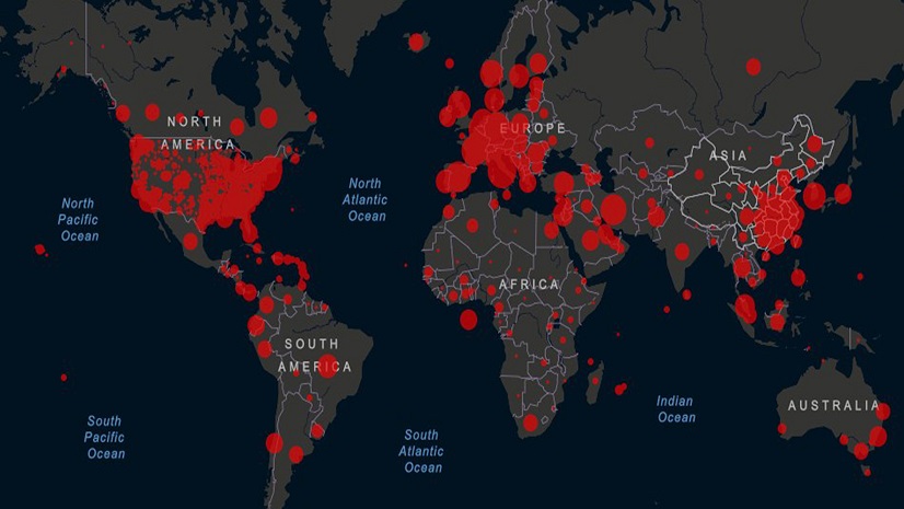
GIS technology offers a robust platform for mapping and analyzing the distribution of vector populations, environmental conditions, and human demographics. These capabilities enable public health officials to identify high-risk areas, optimize resource allocation, and implement targeted control measures. Whether it’s malaria, Zika, or even other vector-borne diseases, GIS provides a comprehensive toolkit for enhancing disease surveillance and response strategies.
Educational Materials and Resources
- Brochure: Learn about effective vector-borne disease control through resources like the Effective vector-borne disease control and surveillance brochure.
- Blogs: Explore case studies and articles on combating mosquito-borne diseases using GIS, such as Mapping our battle against mosquito-borne diseases and Infectious mosquitoes post increasing health threat.
Practical GIS Solutions
- Mosquito Service Requests: Engage the public in identifying mosquito activity through platforms like Mosquito Service Requests.
- Mosquito Treatments: Manage and communicate treatment plans effectively using tools like Mosquito Treatments.
- Mosquito Surveillance: Monitor and track mosquito populations and disease spread with Mosquito Surveillance.
Case Studies and Success Stories
- Discover how organizations like DC Health have improved data collection and sharing through GIS in the DC Health case study.
- Learn from Zambia’s approach to eradicating malaria using geospatial data in Seeking to eradicate malaria: Zambia turns to geospatial data.
Learning Opportunities
- Tutorials: Engage with lessons like Monitor Malaria Epidemics and Visualize Malaria Rates in Africa to hone your GIS skills in a public health context.
- Software Trials: Experiment with GIS tools by accessing free trials of ArcGIS Pro and ArcGIS Online.
Engagement and Further Learning
For those looking to deepen their understanding or inquire about specific projects, consider reaching out via healthinfo@esri.com or exploring the ArcGIS access options. Additionally, the Global public health grant program for ArcGIS offers opportunities for those seeking to leverage GIS for health initiatives.
GIS is more than just a tool; it’s a part of the solution in our global fight against vector-borne diseases. By harnessing the power of geospatial data, we can create more effective interventions and a healthier future. Let’s continue to explore and expand the potential of GIS in public health, empowering professionals and communities alike to stand resilient against the threat of diseases like malaria.