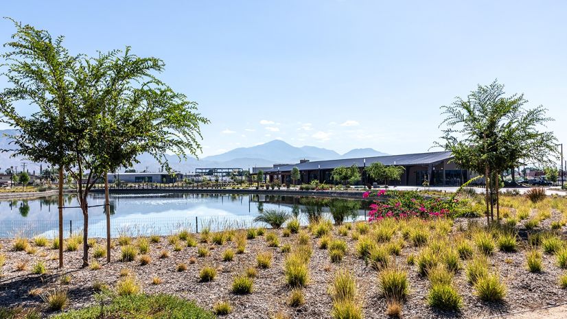
Located on Florida’s northeast coast, St. Johns County is one of the fastest-growing counties in the state, with its population having increased nearly 27 percent since 2020, from approximately 273,000 residents to more than 346,000 in 2025. This rapid growth continues to increase demand for infrastructure and utility services across the county.
The St. Johns County Utility Department (SJCUD) provides potable water, wastewater, and water reuse services to approximately 62,000 accounts serving over 120,000 residents. Its mission is to deliver safe, reliable drinking water and environmentally responsible wastewater treatment at affordable rates while emphasizing customer service and protecting the environment.
As the community grows, SJCUD continues to invest in the technology and systems needed to support increasingly complex utility operations. The department’s migration to Esri’s ArcGIS Utility Network represents a major step in modernizing its geographic information system (GIS) capabilities and establishing a more robust platform for managing critical utility infrastructure.
Introduction
As St. Johns County continues to experience rapid growth, SJCUD is modernizing its geospatial capabilities to support the needs of its growing utility system. The department identified Utility Network as the next step in advancing its GIS and providing a foundation for managing water, wastewater, and water reuse networks.
In 2022, SJCUD began working with Timmons Group on a Utility Network readiness project that included a data readiness assessment and a Utility Network migration plan. The process evaluated SJCUD’s existing GIS environment and identified the data, workflows, system integrations, and other considerations that would need to be addressed before migration.
Following that readiness work, SJCUD and Timmons Group moved into implementation, culminating in the migration of SJCUD’s water, wastewater, and water reuse networks to Utility Network in early fall 2025.
Project Team
David Sabin, utility information systems officer, and Ryan Frayne, senior information system analyst, led the project for SJCUD, helping guide the migration, implementation, and adoption of ArcGIS Utility Network across the department.
Timmons Group served as SJCUD’s implementation partner, providing technical expertise and support throughout the readiness, planning, migration, and deployment process.
“One of the biggest benefits of [ArcGIS] Utility Network has been the ability to use branch versioning, which has made editing more efficient for our staff,” Sabin said. “We’ve also seen improvements in data quality because validation rules and error checks are built directly into [ArcGIS] Utility Network.”
The Challenge
SJCUD’s existing GIS environment relied on ArcMap and Esri’s geometric network. With those technologies being deprecated, the department needed to transition to a modern GIS environment capable of supporting the needs of a growing utility system. Migrating to Esri’s Utility Network provided an opportunity to modernize that environment, but the transition required careful planning to maintain existing data, system integrations, and business processes.
For SJCUD, the challenge extended beyond migrating water, wastewater, and water reuse data to a new platform. The department needed to maintain data accuracy and reliability throughout the transition, account for integrations with other critical business systems, adapt established editing and administrative workflows, and prepare GIS staff to work within a new Utility Network environment.
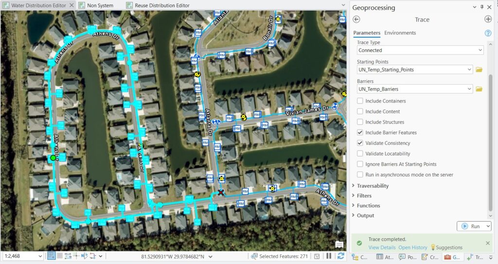
Utility Network introduced capabilities that could address those challenges and expand what SJCUD could do with its GIS, including performing advanced network tracing across desktop, web, and mobile environments; rule-based data validation; and subnetwork management. These capabilities offered SJCUD greater tools for maintaining data integrity and understanding its utility networks as the system continues to grow.
The Partner Involvement
Timmons Group partnered with SJCUD throughout the transition from Esri’s geometric network to Utility Network, beginning with the readiness assessment and migration planning and continuing through implementation and deployment. The firm worked with SJCUD to evaluate its existing GIS architecture, data, workflows, and system integrations and develop an approach designed to maintain continuity throughout the migration.
Timmons Group provided expertise in Utility Network migration planning, architecture, data readiness, editing workflows, deployment, and updates to existing automated administration processes. The partnership allowed SJCUD to prepare for the migration while accounting for the systems and workflows already supporting day-to-day utility operations.
“Our focus is helping utilities navigate structured Utility Network migrations while maintaining continuity across the systems and workflows they rely on every day,” said Ally Kennedy, principal of geospatial utilities with Timmons Group. “We’ve successfully migrated 40 utilities, with another 34 currently in various stages of implementation.”
The Results
The up-front planning and data readiness work gave SJCUD the opportunity to identify and address potential issues before migration. By completing the data readiness assessment early in the process, GIS staff were able to correct data while other components of Utility Network implementation were underway, helping prepare the department for a smoother transition.
SJCUD successfully migrated its water, wastewater, and water reuse networks from the geometric network to Utility Network without the loss of features or data. Staff were trained on ArcGIS Pro and Utility Network workflows as well as on the administration of the new environment to support its long-term use.
Since migration, SJCUD has benefited from enhanced functionality across desktop, web, and mobile environments and stronger tools for maintaining data quality. Attribute validation rules and connectivity rules provide built-in mechanisms for identifying errors and enforcing data integrity, while the Utility Network capability’s tracing capabilities give staff greater insight into relationships across the utility system.
Nearly a year into the new environment, SJCUD has established a modern GIS foundation designed to support the department as its utility networks and the community it serves continue to grow.
The Solution
SJCUD and Timmons Group began by assessing the department’s GIS architecture, data, integrations, and editing workflows. The resultant Utility Network migration plan documented the existing environment and established recommendations for the migration, including architecture, data requirements, schedule, budget, and integration considerations.
Using that plan as a road map, the team migrated SJCUD’s water, wastewater, and water reuse networks from Esri’s geometric network to ArcGIS Utility Network. The implementation included the following:
- GIS architecture: Developing recommendations and providing support for the IT architecture needed to support Utility Network
- Data model design: Building from existing Esri Utility Network solutions and customizing the data model to meet SJCUD’s specific needs, including integration with Trimble Cityworks
- Editing workflows: Developing tools and workflows using attribute rules, contingent values, and group editing templates to support editing in the new environment
- Data migration and quality control: Using Esri’s ArcGIS Data Interoperability extension to migrate data and support quality control throughout the process
- Testing, training, and deployment: Testing the new environment, preparing SJCUD staff to work with and administer Utility Network, and supporting the transition to production
- Automation updates: Upgrading and reconfiguring existing Python scripts and automated administrative processes to support the new environment and replace legacy compress and analyze workflows
Together, these components provided SJCUD with a Utility Network environment tailored to the department’s existing systems and operational needs while establishing a platform that can continue to evolve alongside the department’s utility infrastructure.
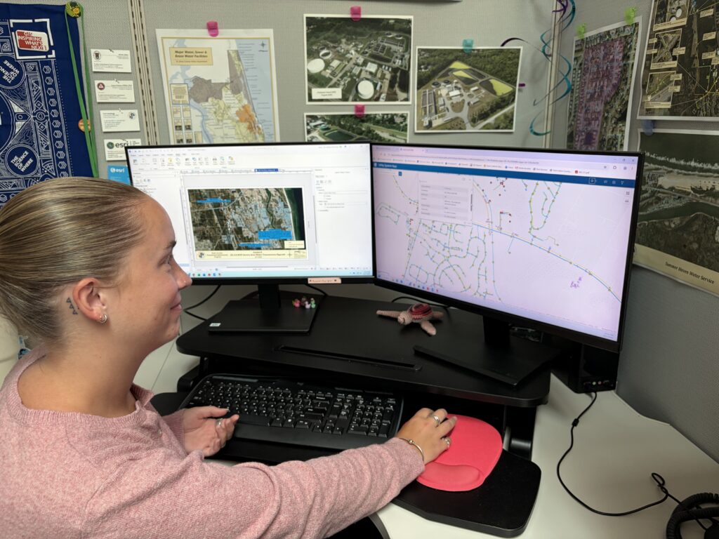
“The migration process gave us a chance to step back, reassess our needs, tighten up our data requirements, and ultimately become leaner and more efficient,” Sabin said “It’s positioned us to make better decisions.”
Stay Connected with Esri’s Water Team
ArcGIS is an enterprise geospatial platform that enables modernization of workflows with easy-to-use applications for the field and office. Strengthen your organization with geospatial solutions that will increase efficiency and provide insight for decision-makers.
Visit the Esri Water Utilities web site for more information.
Join the Water Utilities Community
Follow #EsriWater on social media: X | LinkedIn
Subscribe to the Water Industry newsletter “Esri News for Water Utilities and Water Resources“
Learn more about how Esri supports rural and small water.