With geospatial technology evolving at a rapid pace, it’s challenging to know what skills will be relevant for the GIS analyst in the next 5–10 years. The fear of artificial intelligence (AI) has already disrupted student educational planning, according to a recent study by Gallup-Lumina Foundation (2026). Of the nearly 4,000 enrolled college students surveyed, 47% of students said they had thought about switching their majors or field of study due to AI.
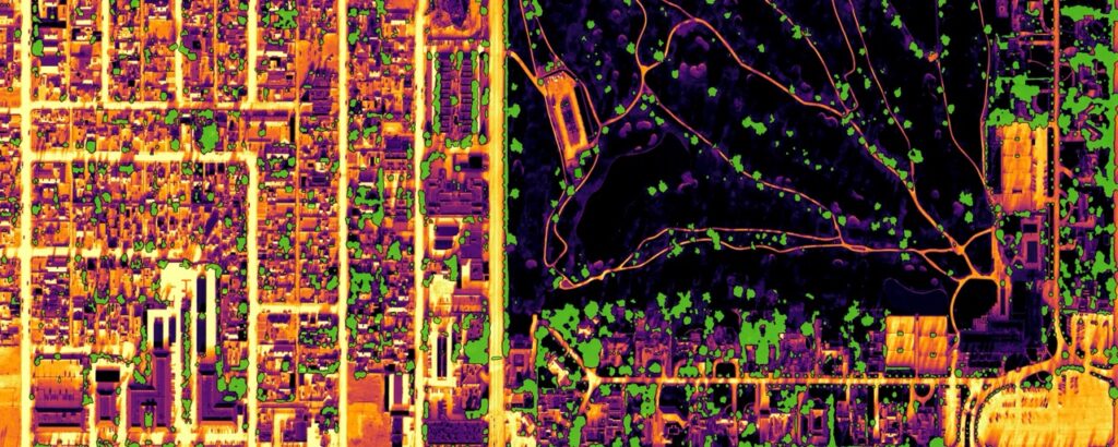
The good news is that the geographic information system (GIS) analyst will not be completely replaced by AI—assuming they acquire the appropriate skills! This technological push, rooted by imagery and remote sensing, is evolving the role of the GIS analyst in exciting ways—specifically, morphing the traditional mapper into an indispensable spatial context engineer.
This blog article shares how technological advancements in remote sensing data availability, cloud computing, AI, and an awareness of industry applications should be embraced during your GIS education to prepare you to jump into your career with confidence.
Skill 1: Build Your Foundation in Remote Sensing and Reality Mapping
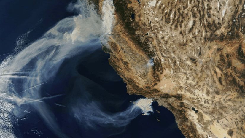
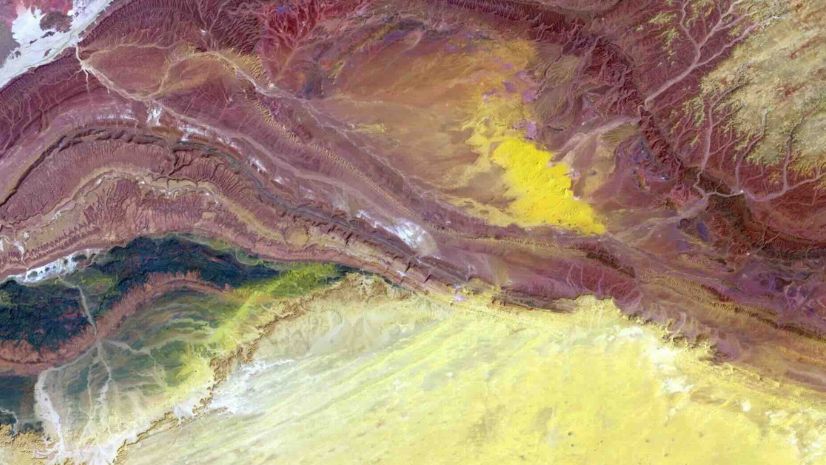
Make sure to take at least one course in remote sensing if it is offered. If not, look for online resources to fill this gap. The course should include earth observation fundamentals such as an introduction to the different types of sensors (optical, synthetic aperture radar [SAR], lidar, hyperspectral, thermal); trade-offs between temporal, spatial, radiometric, and spectral resolutions; and time series and change detection techniques, plus training on how to measure accuracy and validate derived data insights. With all the current data noise and caveats associated with computer-generated results, industry leaders are looking to their teams to help them understand when they should be concerned about the accuracy and repeatability of these results. As a spatial context engineer, you need these fundamentals to be able to make recommendations and adapt as sensors and platforms change.

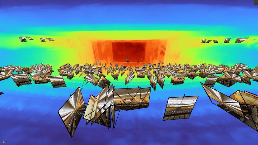
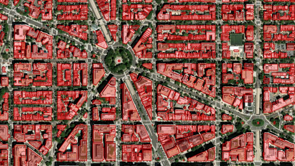
GIS analysis expectations are quickly expanding from only two-dimensional mapping to three-dimensional digital twins. Imagery and remote sensing are how a digital twin knows what the world looks like, how it’s changing, and whether it matches reality. Digital twins are most effective when they become living digital twins via a continuous update of data, often provided by imaging sensors and live data feeds. You need to experiment with building your own small-scale digital twin. Select an area on campus, your neighborhood, or even a natural system like a park or beach to study. Building your own twin can help you learn to create 3D scenes and meshes, work with new sensor data, use imagery as ground truth, and integrate elevation data. Think about how you can make this a living 3D visualization by connecting to a time series dataset or visualizing vector overlays that can lead to an impactful decision.
Skill 2: Explain the Value of Cloud-Native Processing to a Peer
The volume of earth observation data is too large to manage in local file systems and on laptops. You should expect that as a professional GIS analyst, you will have to work with systems engineers and IT professionals. Your organization’s geospatial information officer (GIO) may expect you to be able to help curate their imagery repositories so that they can be used for automated processing. Employees who understand imagery metadata quality and file formats are the most valuable. Get comfortable with cloud-native imagery formats like CRF, COG, Zarr, Parquet, and STAC. You should also understand how to leverage application programming interfaces (APIs), web services, and distributed processing concepts.
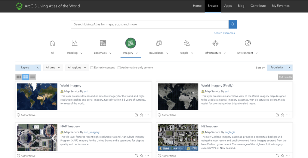
Try designing a class project that includes direct access to a cloud data catalog such as ArcGIS Living Atlas of the World, open data on Amazon Web Services (AWS), or the Microsoft Planetary Computer. Ask your instructor if your raster workflows can be built into templates or run dynamically (on the fly) to save data storage and processing time. Understand the differences between the data services available to you and know when you are using them under the hood for your interactive maps and web applications. These skills will benefit you no matter what industry you move to, whether you are interested in disaster response, climate analytics, or commercial supply chain analysis.
Skill 3: Go Beyond Textbook AI: Build Geospatial AI Models and Use AI Assistants
Geospatial AI is becoming part of the common conversation when talking about geospatial technology. Being fresh from your GIS program, you may be asked to explain to your colleagues how geospatial AI models work, how they fail, and how to use them responsibly, especially if you are using one as part of your immediate project. Industry leaders may expect that you are able to independently create training data and run geospatial AI workflows right out of school. During your studies, take time to create your own geospatial AI model. Pick a pretrained model to extract a feature that you are familiar with or can look at directly. This will help you appreciate the value of transfer learning and how much effort and care go into building geospatial AI models, outside of a lab exercise. Do you want to go the extra mile? Try to build an example where you integrate these AI outputs back into a GIS-based decision workflow. This will no doubt leave a good impression on a potential employer!
Where AI is headed, of course, is in helping spatial decision engineers ask questions about their process or area of interest to improve efficiency and automate annoying repetitive tasks. Just like how you can use ChatGPT or Copilot to provide practical lifestyle guidance or code generation, you can use GIS-based AI assistants to help you with traditional imagery search and content-generation tasks. The simplest way to start is to use an assistant inside an application or tool you are already using. There are many places where natural‑language AI models are already incorporated to help with common GIS tasks. Make sure you try out these tools before you graduate. For example, you can practice prompting an AI assistant using ArcGIS Online to interact with your map views, item details, or ArcGIS StoryMaps stories.
Skill 4: Learn How to Talk About Industry Domains
A domain is the combination of who uses the data, what decisions they need to make, and how geospatial science fits into their everyday work. So, rather than focusing on a specific industry, students should gain cross-industry domain proficiency. Here are some examples:
- Climate and sustainability
- Infrastructure and utilities
- National security and public safety
- Urban planning and smart cities
- Agriculture and natural resources
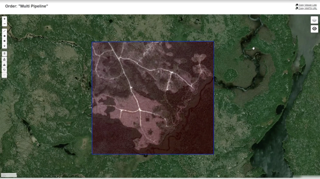
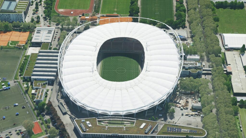
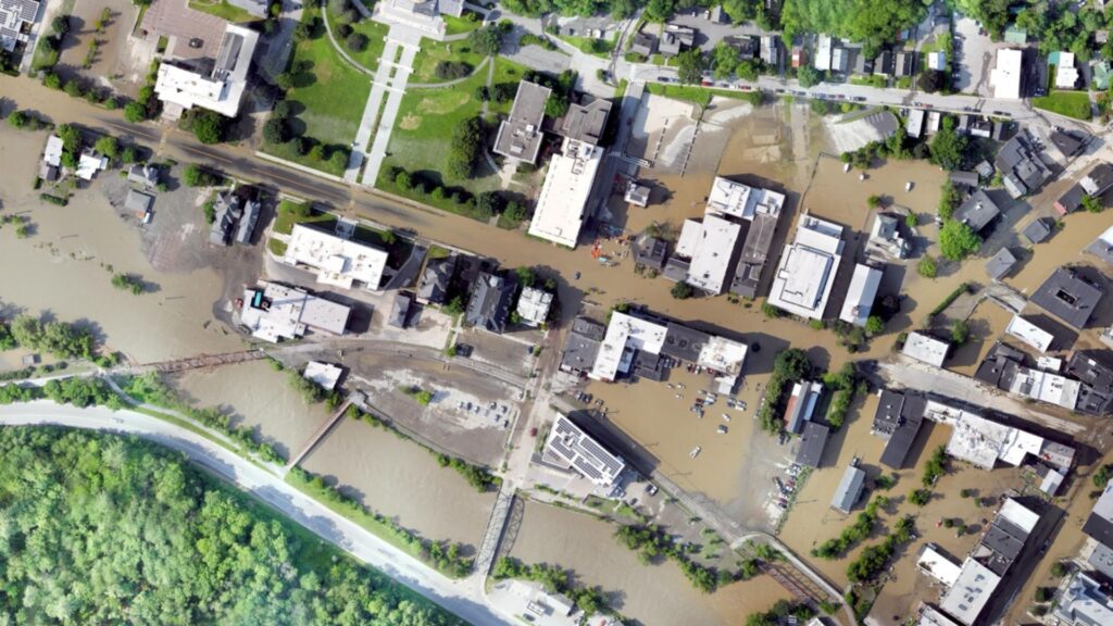
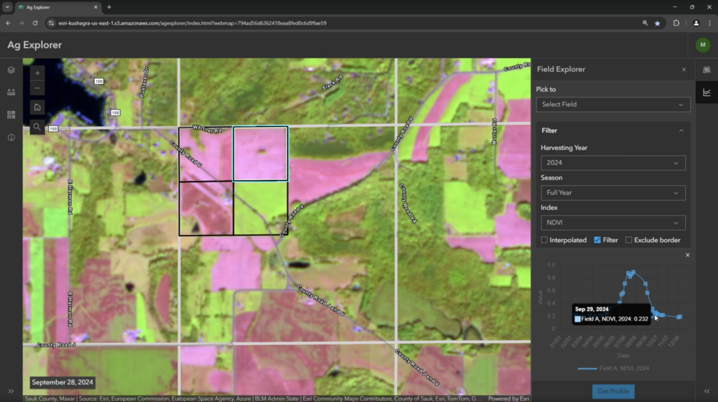
Work with your student groups or academic advisers to invite guest lecturers from multiple business areas and ask them about their specific domain. When you read about an interesting GIS workflow, try to articulate what the domain is, or what it could be, to train yourself to think strategically. For a new GIS graduate, strategic thinking can be a strong differentiator. You don’t need to be a strategist on day one, but you should be able to show that you can think beyond tasks and tools.
You Can Lead the Way
Throughout my career, I have had the opportunity to work closely with students and young professionals as an adviser and career coach. I hate to hear students frustrated around having the desire to do more but not knowing where to focus. It’s clear that it is getting harder to stand out from the thousands of other students applying for the same limited job pool in the geospatial technology marketplace. Industry is desperately seeking more spatial decision engineers. These are people who can understand what, where, and why change is happening and can speak to it with confidence. By entering this market with imagery-enhanced GIS skills, you will have an advantage over those applicants with data science or remote sensing skills alone.
With this information and some hard work, you can be a member of this cohort of inspiring young professionals that leads the way, setting a new standard for the GIS in the future.
We have a great set of resources on our web page that you can use to develop these skills. It includes case studies, practical learning examples, and imagery workflows.
Continue your research at esri.com/en-us/capabilities/imagery-remote-sensing/resources
Source: Gallup (2025). State of higher education. https://www.gallup.com/analytics/644939/state-of-higher-education.aspx