Rebecca Kahrhoff
With over 20 years of experience, Rebecca Kahrhoff specializes in applying GIS and spatial technologies to solve real-world business and operational challenges in the mining and natural resources sectors. She began her career as a geologist in environmental consulting and has since built broad expertise across oil & gas, government relations, and mining operations. In her current role, focused on marketing GIS solutions to the mining industry, she excels at bridging the gap between complex technical capabilities and practical, high-impact applications that deliver tangible results for organizations. Rebecca Kahrhoff is an active member of the Women in Mining Coalition, where she advocates for sensible pro-mining legislation and works to increase industry representation and visibility. She brings a rare combination of deep technical GIS knowledge and cross-sector experience to help organizations leverage geospatial insights for better natural resource management and decision-making.
Posts by this author

Reflections from Esri UC 2026: AI, GIS, and the Future of Mining
AI, GIS, digital twins, GeoAI, and mining innovation: key lessons and success stories from Esri UC 2026.
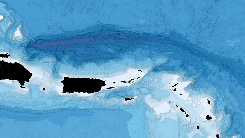
Why GIS Matters for Deep-Sea Mining: Bathymetry, Real-Time Ops, and GeoAI
How GIS turns bathymetry, sonar, and GeoAI into decision-ready insight for efficient, lower risk deep-sea mining.
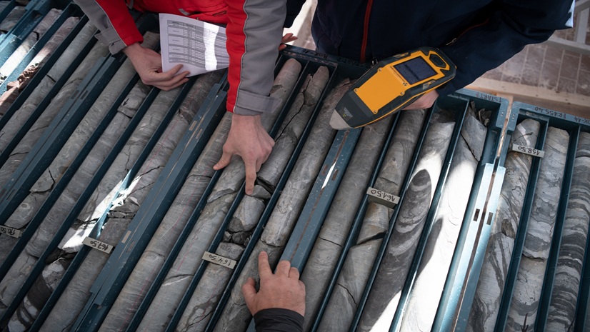
Top 10 GIS Mining Workflows In Exploration
Build an exploration GIS system that holds up: basemaps, constraints, targeting, mobile capture, drilling dashboards, and StoryMaps.
Ultimate GIS Guide for Mining Professionals: Build Business-Critical Skills in 2026
Practical GIS how-to for mining professionals: Build basemaps, constraints maps, field workflows, QA/QC & dashboards to turn data into decisions.
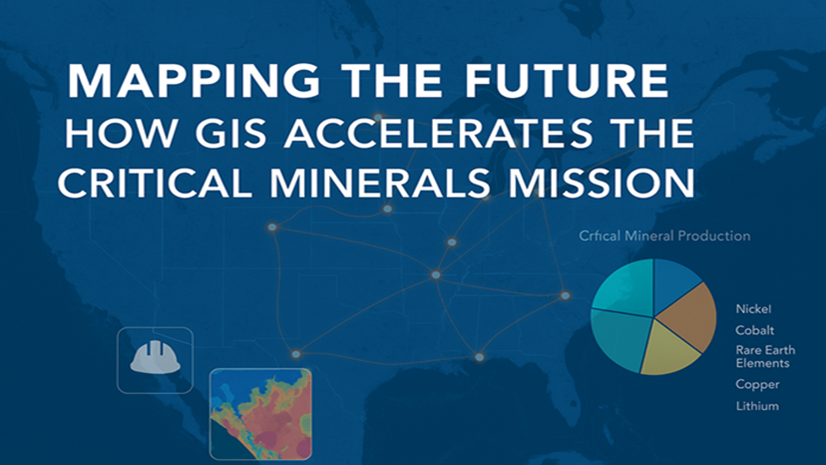
Mapping the Future: How GIS Accelerates the Critical Minerals Mission
As power demand grows, GIS helps secure U.S. critical minerals through smarter exploration, transparent permitting, and resilient supply chains.

Mapping for Mine Closure: Why GIS is the Key to Sustainable Reclamation
See how GIS helps mining teams plan land use, track revegetation, and meet closure regulations, sustainably and efficiently.

Inside the Dashboard: A Look at Real-Time GIS for Tailings Management
Real-time GIS dashboards transform tailings monitoring with sensors, drones, and field apps—enabling smarter, safer decisions.
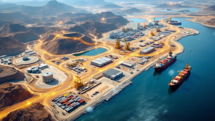
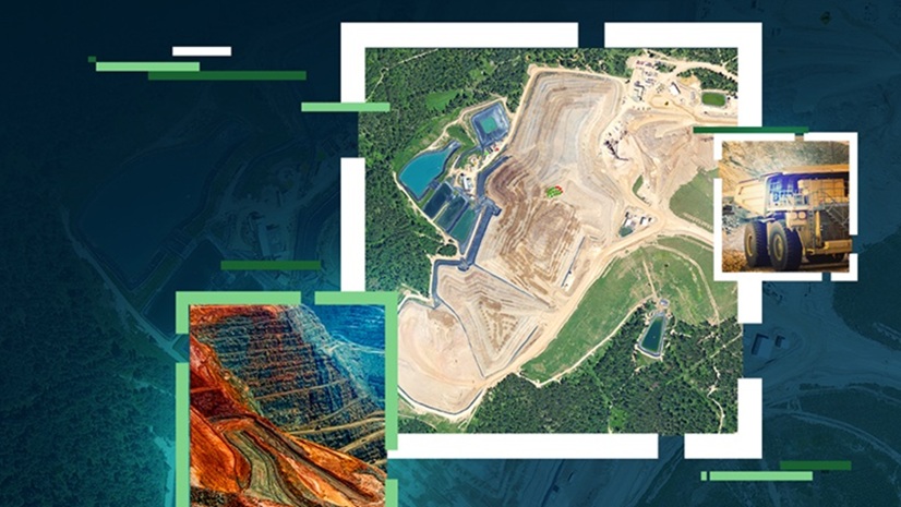
From Pit to Port
Unlock the power of GIS across the mining value chain—from exploration to closure—with ArcGIS-driven insights and efficiency.