The image features a predominantly white background with a single thin orange line running horizontally along the top edge.

Conservation Communications

Make conservation personal through place

Turn trusted data into visually stunning maps and stories that show real progress.

The image combines a blurred business meeting scene with a vibrant digital city map visualization.

Tell an informed, inspired, and moving story about the power of place

When people see conservation in the context of place, they see what matters and where to act.

ArcGIS helps you communicate complex science clearly and responsibly, so your message builds confidence, credibility, and long‑term support. Inspire action by showing how their support helps prevent biodiversity loss.

Harness the power of storytelling with ArcGIS

Show where your work is making a difference

When people can see what’s changing and where, it inspires them to care and take action.

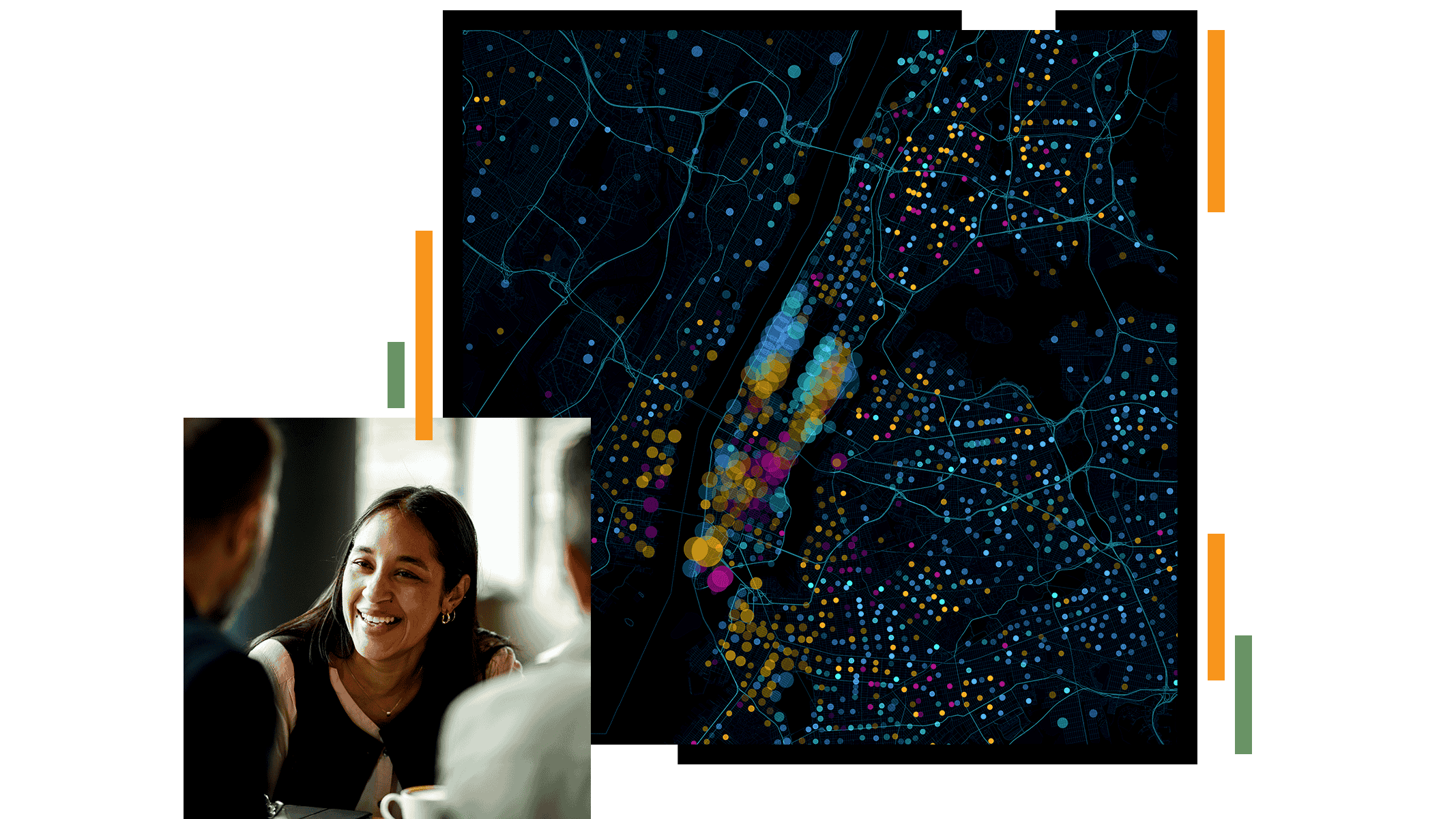
ArcGIS turns field data, monitoring results, and program metrics into live, visual views of progress. Interactive maps and dashboards replace static reports with up‑to‑date snapshots that energize donors and collaborators, align leadership, and keep them all connected to what’s happening on the ground.

A digital map interface displays parts of Canada and the northern United States with several highlighted habitat regions in bright colors.

Turn complex science into stories that inspire people to act

Use your stories to make science easier to understand, easier to share, and easier for supporters to connect with over time.

ArcGIS brings maps, media, and narrative together to create visual stories that connect people to landscapes, communities, and outcomes.

The image shows a web design interface displaying a story layout with a nature theme.

Show how support turns into real outcomes

With maps, people see how their support is making a difference.

ArcGIS helps link funding to measurable, place‑based outcomes—acres protected, species saved, corridors restored. Maps and metrics shift the conversation from “activities completed” to “outcomes achieved.” Strengthen engagement by clearly showing how contributions lead to protection, restoration, and lasting impact.

Two rhinoceroses walk side by side through tall grass in an open savanna landscape.

Turn awareness into meaningful participation

Sustain engagement by helping people see progress and stay connected to the work.

ArcGIS makes it possible to share open data, conservation maps, dashboards, and calls to action in one public-facing experience. Supporters can explore conservation progress, contribute input, volunteer, and follow along in their own communities—inviting participation and building lasting engagement, not just momentary attention.

A woman and a man stand at the front of a large outdoor community gathering, speaking to a seated crowd.

CUSTOMER SUCCESS STORIES

See how organizations use geography to advance conservation

Products that support conservation communications

Previous
Next

Apply for the Esri Conservation Program

For more than three decades, the Esri Conservation Program has provided technology and training assistance to conservation professionals around the globe.

Apply now