
Connect partners without centralizing control
More people take action when they can see where they’re needed most.
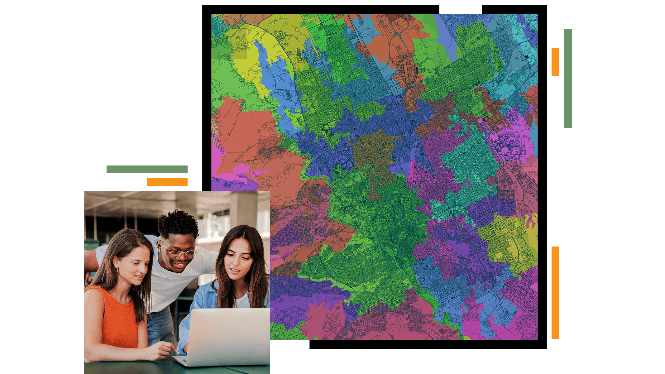
ArcGIS puts accessible, intuitive tools in the hands of community members so they can contribute local knowledge, map what matters to them, and participate in conservation decisions. When communities see themselves in the work, it shows.


