
Drive fast alignment through clear, visible priorities
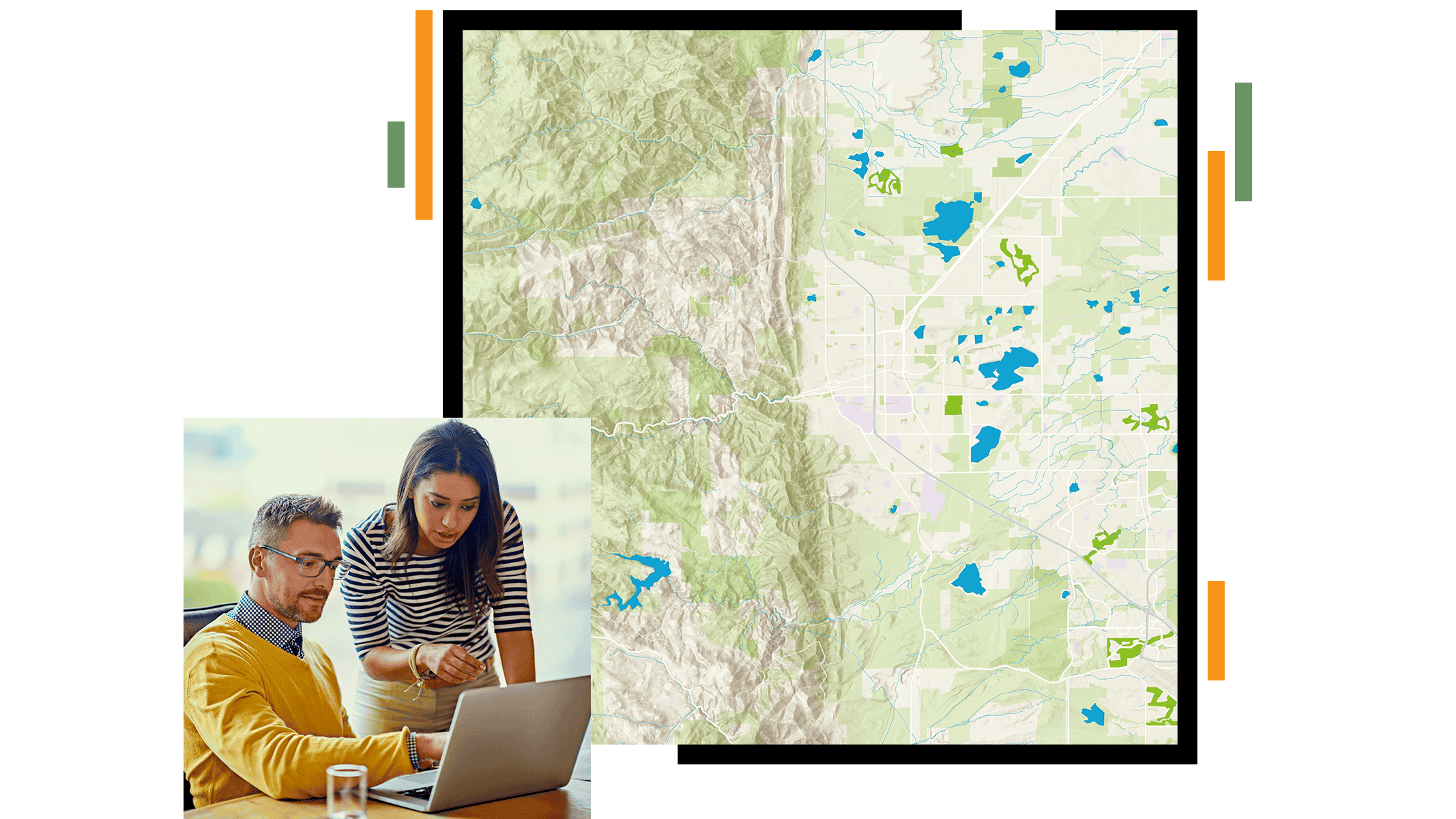
Maps make plans visible, and clear priorities teams move faster and act with confidence.
ArcGIS brings together suitability modeling, spatial analysis, and trusted datasets to support conservation prioritization across your landscape. Every dollar, every acre, and every decision can be backed by evidence you can show.


