The image features a predominantly white background with a single thin orange line running horizontally along the top edge.

Conservation Operations

See what’s happening in real time

Give teams a shared, real‑time view of field operations so they can coordinate, respond, and act wherever the work takes them.

Map of a protected area with data points alongside a person using binoculars in a natural landscape

Coordinate teams from anywhere

Your field teams work in some of the most remote places. They need to stay connected with tools that work with or without connectivity.

ArcGIS gives conservation teams a real-time, location-based operating picture across conservation lands. When your operations run on the same platform as your science and your planning, the work gets tracked, the data stays up to date, and your team spends less time in the office and more time doing the work they love.

Make smarter operational decisions with ArcGIS

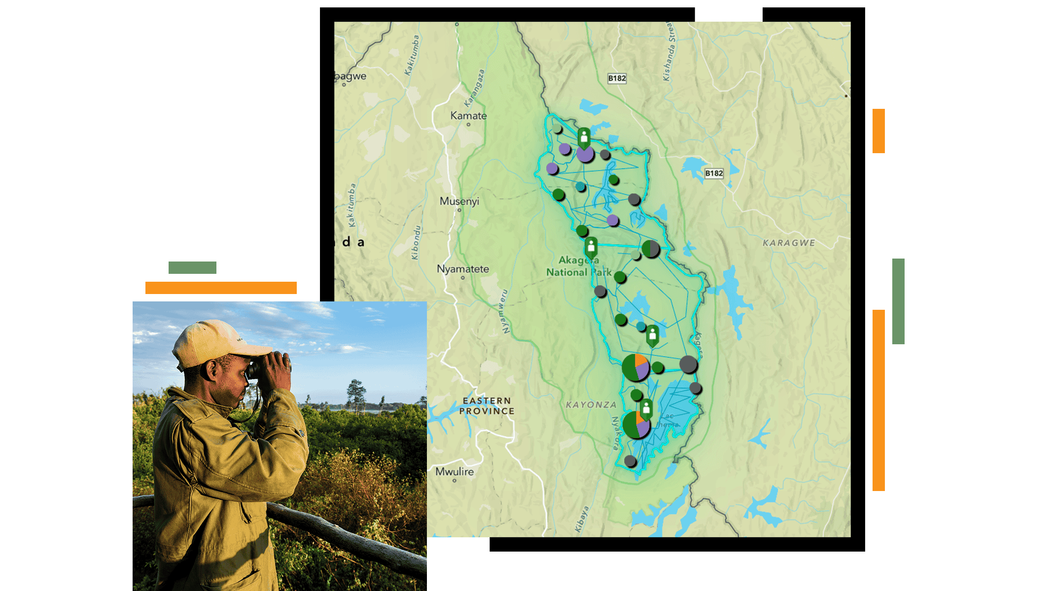
Spend more time in the field and less time behind a screen

You should have tools that make it easy to capture what happens and where it happens.

ArcGIS field tools let teams capture observations offline, record locations automatically, and sync data when connectivity returns. It keeps everyone focused on the work, not the workflow.

Screenshot of a mobile app interface titled Ranger Sightings displayed on three smartphone screens.

Shift from reactive response to proactive protection

With all field activity in one place, your team stays ahead of risks.

ArcGIS brings observations, indicators, and alerts into one live view—helping teams shift from reacting after the fact to protecting species before conditions escalate.

Topographic map with river networks and colored data points across a landscape

Get the right people to the right places

Coordinate your effort and resources where it matters most, every time.

ArcGIS helps teams plan their work, coordinate across protected areas, and adjust quickly when conditions change. The easy-to-use tools keep the focus on the mission, not the technology, so field crews can make fast decisions, stay safe, and know exactly where they need to be.

Map with clustered circular markers of varying sizes indicating activity across a region

Your data is always current, accurate, and ready to share

Your data directly contributes to the decisions being made.

ArcGIS keeps field observations, dashboards, and reports connected—so trends are visible, progress is clear, and sharing updates with partners takes minutes, not weeks.

Dashboard with charts and graphs alongside a map displaying tracked locations within a protected area

CUSTOMER SUCCESS STORIES

See how organizations use geography to advance conservation

Products that support conservation operations

Previous
Next

Apply for the Esri Conservation Program

For more than three decades, the Esri Conservation Program has provided technology and training assistance to conservation professionals around the globe.

Apply now