Get science-based insights
A single location-enabled, dynamic operating picture unifies data from the field and office for real-time situational awareness and optimal environmental monitoring.


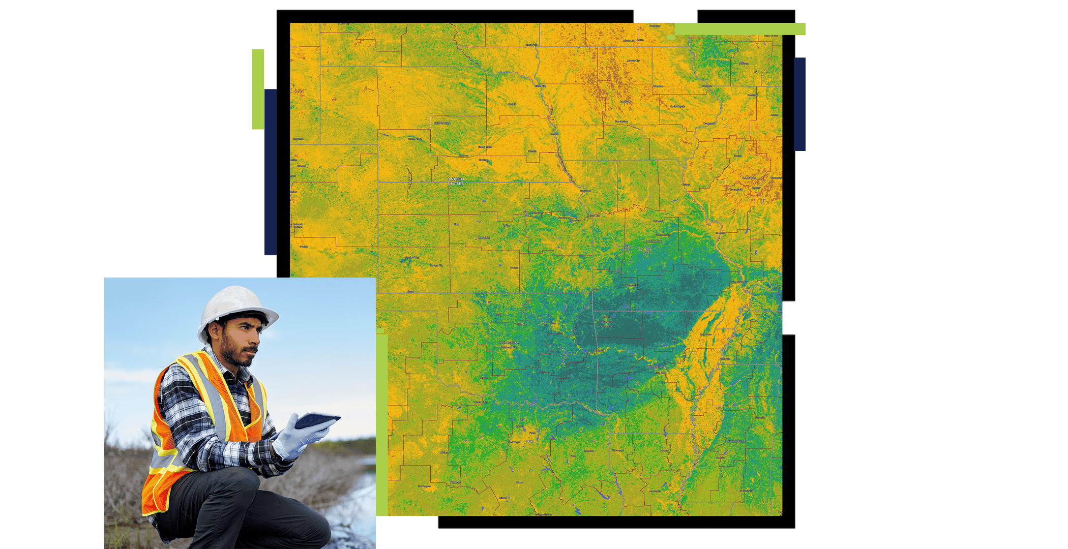
Equitable environmental monitoring starts with GIS
A single location-enabled, dynamic operating picture unifies data from the field and office for real-time situational awareness and optimal environmental monitoring.
Investigate how global air quality patterns have changed over time and how poor air quality impacts the human population.

Streamline equitable environmental assessment to understand the environmental impacts of planned or proposed projects while ensuring course corrections and permit compliance.

Convert paper-based inspection to digital forms. Enable one system of record for streamlined field data capture and sharing back to the office. Automate reports and alerts for quick response times.

Leverage one source of truth for data collection, inspections, and regulatory reporting. Drive alignment across departments, municipalities, and regulators to ensure regulatory compliance.

ArcGIS delivers a collaborative framework for iterative design scenarios informed by resiliency modeling and endorsed through stakeholder engagement to support optimal outcomes.

These collections of products and solutions will help kick-start your environmental monitoring research and projects with improved data organization, analysis, and sharing.
Use GIS to advance environmental and sustainable natural resource monitoring and management.
Achieve sustainable conservation goals with the power of geography.
Map assets, edit data, view sewerage system maps and asset reports anywhere, and collaborate with map notes.
Better understand the spatial behaviors of fires, floods, and other natural hazards.
Speak with a representative.