Understand risk and design strategies to mitigate future impacts
Hazard mitigation requires tools that can assess systemic risk and community vulnerability, design effective policies and risk reduction strategies, and engage the whole community. Using GIS helps communities prepare and adapt by mapping and analyzing hazards and demographics for a more equitable approach to resilience that can change future outcomes.
GIS for hazard mitigation and risk reduction
Assess risk and vulnerability
Build strategies
Engage communities around risk
Understand where to focus
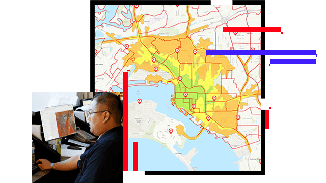
Mapping and visualizing hazards is only part of the equation. Using GIS to analyze demographic, economic, and climate data helps you assess and understand systemic risk, and highlights where to reduce the potential impacts of hazards on your critical assets and the people you serve to truly build resilience.
Develop equitable mitigation strategies
Designing risk reduction strategies that are inclusive of the whole community helps ensure that programs, policies, and strategies equitably target specific locations for more impactful outcomes. Using GIS to communicate with and hear directly from the community leads to a shared understanding of local needs that will enhance resilience.
Inspire action in the community
Communicating complex information—like a household's risk and vulnerability—that affects individual behavior to build resilience requires context that only maps can provide. With GIS as the platform for communication, organizations can effectively inspire action by engaging the community and communicating risk reduction measures.
ESRI BLOG
Dubuque tackles flooding to restore resilience
To fix a flood-prone neighborhood, Dubuque planners use 3D GIS watershed models to capture infrastructure details.
Read the article
ArcNews
Miami Beach prioritizes mitigation projects
The City of Miami has worked with Esri partner Jacobs, a technical consulting engineering firm, to minimize disruptions of sea level rise.
Read the article
ESRI BLOG
Prague: Extreme-heat events spur climate action
Planners use GIS for scales of extreme heat exploration, from the micro to the macro, to know where to respond and to develop mitigation strategies.
Read the article
ESRI BLOG
Cape Cod saves shore from climate change effects
The Cape Cod Commission uses geodesign for data, evaluation, and impact-driven plans to enhance resilience.
Read the article
ESRI BLOG
How to Protect a City from Flooding
A city gains better understanding of its streams through field data collection. Using data reduces costs and mitigates flood risks in high-risk areas.
Read the article
ARCNEWS
Reduced avalanche risk with GIS machine learning
Scientists at the Colorado Avalanche Information Center (CAIC) analyze current weather conditions to predict when avalanches are most likely to occur.
Read the article
ArcGIS Solutions and products for disaster resilience
Explore ArcGIS Solutions and products to enhance disaster resilience for emergency and disaster management.