Skip to Content

Damage Assessment

Collect, manage, and report damage assessments

A damage assessment map with a dark section down the middle, and an aerial view of tents with bags of resources

Understanding the impact of a disaster is key for accurately deploying resources and helping a community recover. Esri's damage assessment solution is aligned with Federal Emergency Management Agency (FEMA) programs. The solution supports damage report collection, assigning initial damage assessments, monitoring the impact of a disaster, briefing stakeholders, and sharing information.

ArcGIS solutions for damage assessment


Understand the severity and magnitude of any incident—rapidly collect, manage, and report disaster damage.

Engage the community and solicit input

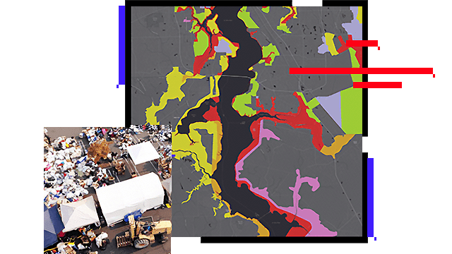
During an emergency, residents should be able to find the incident impact information and learn how recovery activities affect them. The damage assessment site created with ArcGIS Hub can be used to share damage assessment information and collect damage reports from the community to aid and expedite the overall damage assessment process.

A desktop computer displaying a damage assessment photo viewer and map with the locations of the photos

Deploy field teams and collect data

ArcGIS Hub provides damage assessment resources to local officials, public safety staff, and volunteers so that they can quickly assess damage severity. The preliminary damage assessment helps staff rapidly capture damage reports, while the more detailed Individual Assistance and Public Assistance surveys collect information required by FEMA.

A desktop computer displaying a damage assessment web browser with a QR code and a second browse open with an individual assistance survey

Monitor progress and reporting

As public damage reports are submitted, the Damage Assessment Operations app can be used by emergency management staff to manage, monitor, and administer damage assessments. The information submitted can then act as a starting point for initial damage assessments conducted by government officials.

A desktop computer displaying a damage assessment operations dashboard

Manage and share information

Damage information is a valuable resource used by many agencies to make critical decisions related to recovery resources. The Damage Assessment solution includes a series of tools that help you manage incident information. Create provision field users, share information with partner agencies, and export or report incident data to state and federal partners.

A desktop computer displaying a damage assessment operations web browser with a map showing effected home locations

ArcNews

Oklahoma crowdsources damage assessments

Oklahoma Department of Emergency Management (OEM) takes an innovative approach to damage, using ArcGIS Survey123.

Read the story

ArcGIS Solutions and products for damage assessment

Explore the ArcGIS Solution Damage Assessment and other products to enhance damage assessments for emergency and disaster management.

Previous
Next

Contact sales

Contact us

Outside the United States

Connect with the Esri public safety team