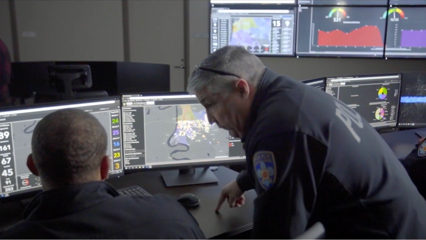
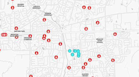
Reducing crime risk in Louisiana
Video
Discover how Baton Rouge Police Department uses ArcGIS Dashboards and GIS to transform policing and reduce crime.
Explore resources for law enforcement agencies and connect with industry experts.
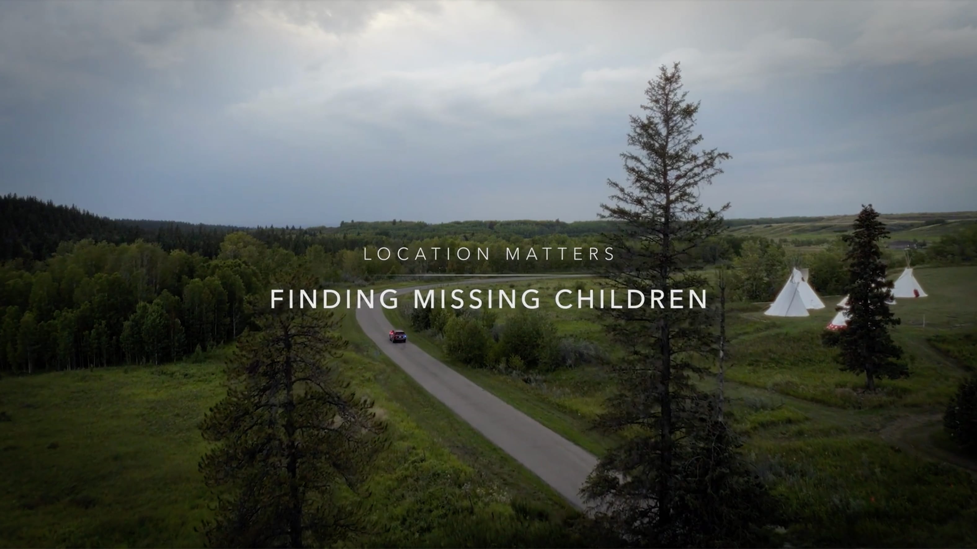
Every year, thousands of Canadian children go missing. Cutting-edge GIS technology is helping bring them home faster.
Reducing crime risk in Louisiana
Video

Combating human trafficking
ArcGIS Blog
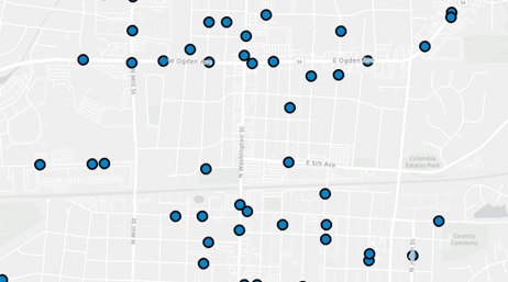
How to perform problem location analysis
Industry blog
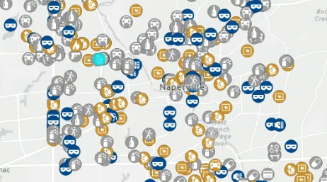
Mapping Crime Counts and Percent Change
Industry blog
Selecting Data with the Crime Analysis Solution
Industry blog
Automating RMS/CAD data import
Industry blog

Modernizing at the Vancouver Police Department
Case study
Police Transparency Solution Released
ArcGIS Blog

Modernizing Policing with ArcGIS Enterprise
Case study
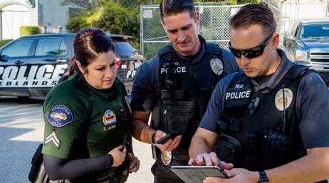
Boosting officer investigations with technology
Case study

Police enhance crime analysis with data analytics
Case study

Maps help stop antiquities trafficking
Esri Blog
County sheriff deploys app to track fugitives
Esri Blog
Getting started with the Crime Analysis solution
Tutorial series
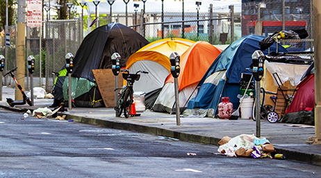
Getting to know the homelessness solutions
STORY

Fourth of July fireworks patrols use GIS
ArcNews
Increasing field data collection efficiency
Case study

Providing targeted assistance to homeless people
Case study

Maps and apps strengthen community-based policing
Esri Blog
Join the geospatial conversation with others in the global community of Esri users. Find solutions, ask questions, share ideas, or browse the forums, and collaborate to solve problems with GIS.

Safety and Security Summit @Esri UC | Watch the proceedings and save the date

Instructor-led and self-paced options help individuals apply best practices and quickly learn ArcGIS software. Esri offers these ArcGIS courses, designed for public safety workflows, to help you gain deeper insight into your organization's data for making well-informed decisions.

Speak with a representative.