
Earth Sciences
Enabling science for a smarter nation
Drive decision-making with location intelligence and data science
Cultivate a holistic approach to science and innovation
Innovate with integrated geospatial infrastructure that connects data, processes, and people with GIS technology for an all-inclusive approach to science. Access curated location-based, analysis-ready data in one intelligent system. Deliver real-time data via easy-to-grasp maps, apps, and dashboards. Infuse location intelligence in scientific methods to capitalize on out-of-the-box modeling environments and open-source algorithms, libraries, and coding languages. Facilitate research and decision-making with a collaborative framework to effectively work across boundaries and silos.
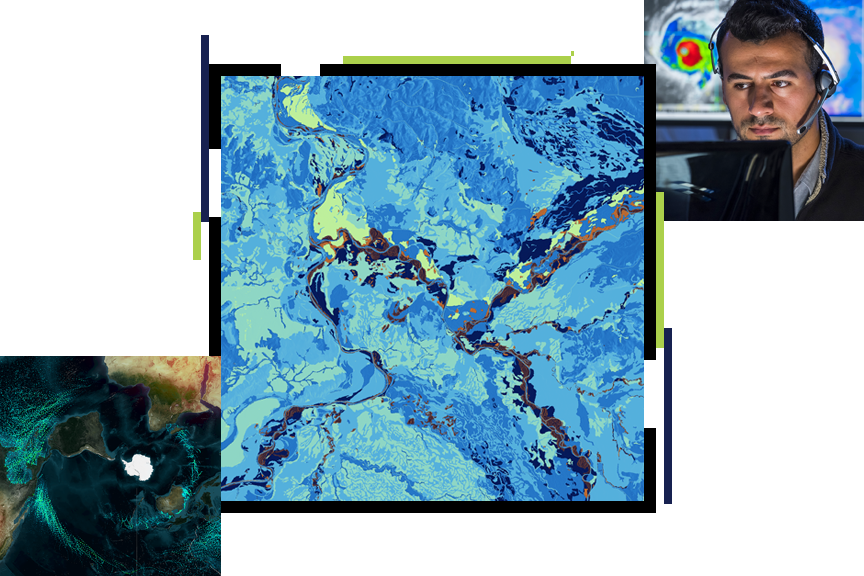
Earth Sciences disciplines
Previous
Next
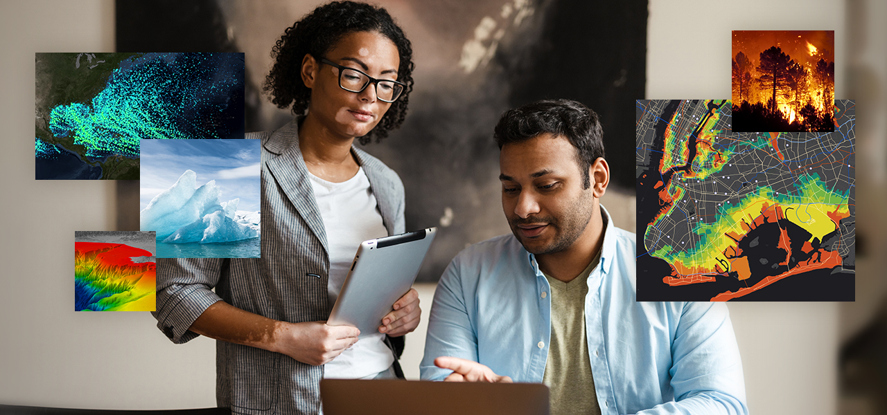
Modernize with science-based information
ArcGIS enables better science with rich analytics, informative visualizations, and easy collaboration across sectors and disciplines. By using GIS, science professionals spend more time on analysis, discovery, and innovation.

Leverage spatial analysis and data science
Begin with robust big data analytics and visualizations. Find patterns through artificial intelligence (AI), 3D interactive maps, and time series predictive analysis.
Access big data
Leverage curated big data with ease. Efficiently manage and aggregate disparate information in a unified infrastructure for secure and timely data exchange with stakeholders.
Collaborate with the GIS community
Adopt a more inclusive approach to science and innovation with a more collaborative framework that helps engage departments, science disciplines, and the public.
Build operational efficiency
Efficiently manage facilities, field activities, and operations with a single real-time view of people, assets, and data for better synergy, collaboration, and understanding.
Earth sciences webinars and events
Stay current with the latest modernization trends, technology, and information. Attend an informative webinar or speak to one of our science industry experts at an event.

Our community
Find out how your peers are using Esri technology to achieve their goals.

Contact sales
Contact us
Call us
Speak with a representative.
(United States)