ArcNews Online
 
Search ArcNews
 

    FALL 2003   COVER STORIES   T-SHIRTS WORLDWIDE
 
 
Fall 2003 ArcNews cover, click to see enlargement

ArcNews Online shares selected articles from the print edition.
Now with exclusive online-only articles.

Previous Issues
Summer 2003
Spring 2003
Winter 2002/2003
Fall 2002


Serving Our World With GIS: Information Makes a Difference


ArcGIS Server: Creating a Centrally Managed GIS: Introducing the Enterprise GIS Application Server

  ArcGIS 9 Is the Development Platform for Building GIS Systems


"Community Tapestry": A New System for Geodemographic Analysis: Built by a Team of Segmentation Development Experts

  What Is a Segmentation System?


2003 Annual Esri User Conference Honors GIS Professionals: Making the World a Better Place

  Peter Hillary Speaks of Extraordinary Challenges: Continuing the Trek Into the Unknown

  Riders on the Storm: Geospatial One-Stop and Hurricane Isabel


E-Gov for Planning and NEPA: Pilot Project Completed


GIS Day—November 19, 2003


Introducing the ArcGIS Address Data Model


ITC and Esri Create Foundation for a National Cadastre Data Model


China, Greece, and Cambodia—Esri T-Shirts Go the Distance!

T-shirt Photos from Previous Issues
some previous t-shirt photos; click to see latest issue photos
 

    SOFTWARE NEWS   GIS IN ACTION (cont.)   FOCUS ON GIS IN
  EASTERN EUROPE
 
 
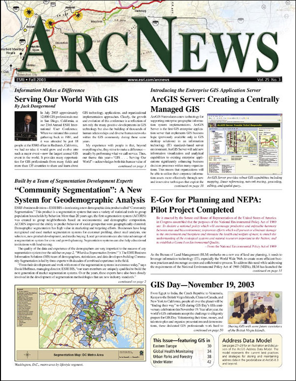
ArcGIS 9: Extending the ArcGIS Platform

Announcing ArcWeb for ArcGIS

MapObjects—Java Edition 2 Now Shipping

Announcing ArcIMS 9

 
  GIS IN ACTION
 
Map Created of the Largest Land Artillery Battle of Revolutionary War: Road to Monmouth Battlefield, New Jersey, Mapped With GIS

Moreno Valley, California, Manages Explosive Growth With GIS: Enterprise Implementation Provides Host of GIS Applications and Benefits

New Jersey NGOs Experience the Power of GIS: Special Program Enables Citizens to Participate in State's Future

|Online Only Article|
Mecklenburg County, North Carolina, Archives History on the Web

Exploring Montserrat, British West Indies, With GIS

A Treasure Trove of GIS Applications: ArcNews Online Exclusive Articles

Coleman Creates Online Outdoor Travel and Activity Planner: Spatially Driven Tool Opens New Vistas for Outdoor Enthusiasts

GIS-Based Routing Stretches Limited Resources of Local Government: Focusing on San Diego, California; Nashville, Tennessee; and Chicago, Illinois

The BIOSPEC Web Site Aids the Preservation of India's Biological Wealth: Biodiversity Database of the Entire Country Now Online

|Online Only Article|
Linn County, Iowa, Uses Web-Based GIS Technology to Deliver Enterprise GIS to Multiple Audiences in Real Time: Delivering Enterprise GIS to Multiple Audiences


New Esri Business Partners Evolve GIS Technology

The Search for Missing Children Aided With GIS: Technology and Data Help Recovery

|Online Only Article|
Venezuelan Petroleum Company Uses GIS to Visualize Operational Surface Facilities Online

For Oklahoma City, Oklahoma, Geodatabases Help Implement an Enterprise Solution: The Public Works' Engineering Division Reaps Many Benefits

  ArcGIS Used for Roadway and Site Design With Extensions From CEDRA

 
  GIS TRENDS IN GLOBAL
  HEALTH MONITORING
 
Analyzing the Consequences of Chernobyl Using GIS and Spatial Statistics

Investigating the Distribution of Malaria Using GIS: Resurgence of the Disease in the District of Purworejo, Central Java, Indonesia

New York City Uses GIS for Surveillance of Bioterrorism and Disease: Evolution of Tracking and Response Technology

 
  SPOTLIGHT ON GIS IN
  URBAN PARKS AND FORESTRY
 
My First Foray Into Urban Forestry

Keeping Track of the Plant and Animal Kingdom in San Diego, California: Plants and Animals Need GIS, Too

The City of Salem, Oregon, Develops a Tool to Manage the Environmentally Sensitive Areas of City Parks: The Sensitive Area Management Handbook Created With GIS

The City of Coeur d'Alene, Idaho, Converts Urban Tree Inventory Into GIS


Seaport Infrastructure Management in Russia and Ukraine Relies on GIS

Bulgaria's Pamporovo Resort Implements GIS for Development Plan: Solving Several Post-Communism Challenges

 
  GIS EXPLORATION
  UNDER WATER
 
Sources of Mortality in Commercial Fisheries Predicted With GIS: Mapping of Marine Mammal Entanglement Wounds

|Online Only Article|
In Portugal, the Marine Environment Is Charted With GIS

National Oceanic and Atmospheric Administration Uses GIS to Monitor the Coastal Zone

 
  GIS COMMUNITY NEWS
 
Geography's Big Tent

Dr. David L. Huff Joins Esri as Technical Advisor: Creator of the "Huff Model" for Predicting Consumer Spatial Behavior

  A Quick Review of the Model

Former Wyoming Governor Jim Geringer Joins Esri: Lawmaker Advocates for GIS Industry

Serving Up a Medley of Maps Online: Esri Technology Gives Public Access to a Wealth of Knowledge

2004 Esri Federal User Conference

New Titles From Esri Press Spotlight GIS Around the World


Contact Us | Privacy | Legal | Site Map