displaying 918 results
Charles Lee was on the ground floor of the environmental justice movement, creating maps to show the insidious health impacts on people of color.

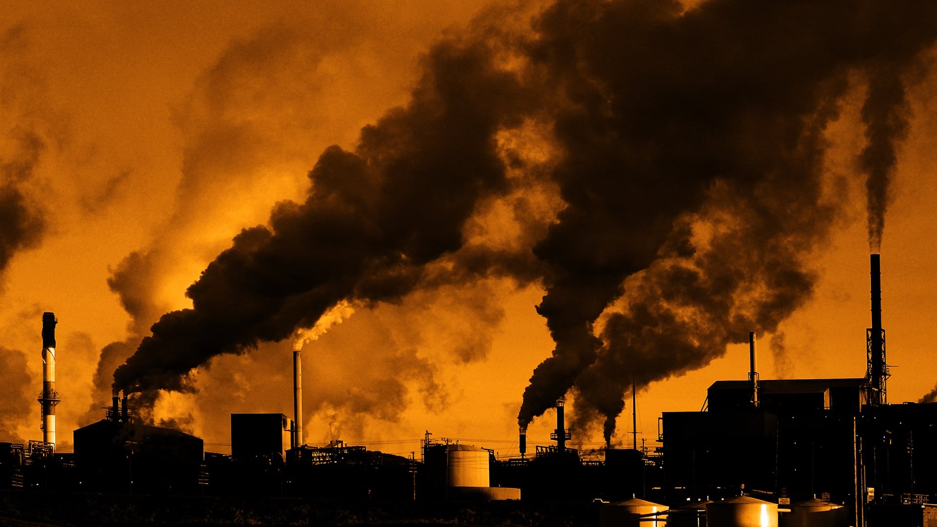
Never before has there been such a focus on equity as it relates to health, and map-based tools starkly reveal the social and racial inequities.

The California High Speed Rail Authority adopted ArcGIS in the cloud to track the project’s land parcels and compliance.
A fast-growing global environmental consulting firm uses GIS and smart maps for collaboration, communication, and project management.
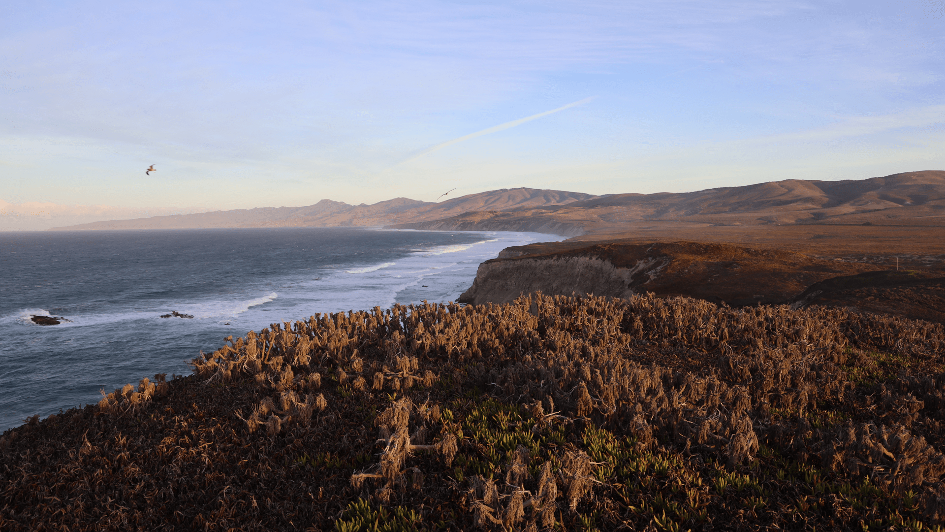
With an environmental digital twin, land managers and scientists can understand the landscape.
Tennessee Department of Transportation ensured those protected by environmental justice laws participate in its decisions.
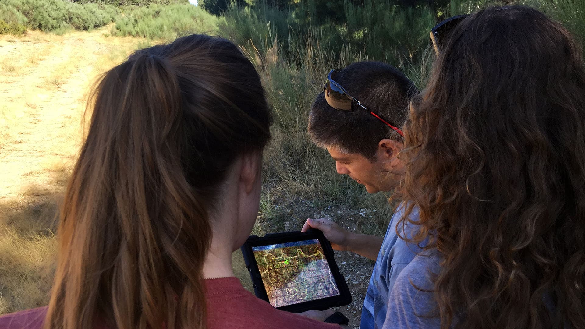
Citizens make better decisions when they can think scientifically. Scientific habits of mind start with critical reasoning and include healthy…
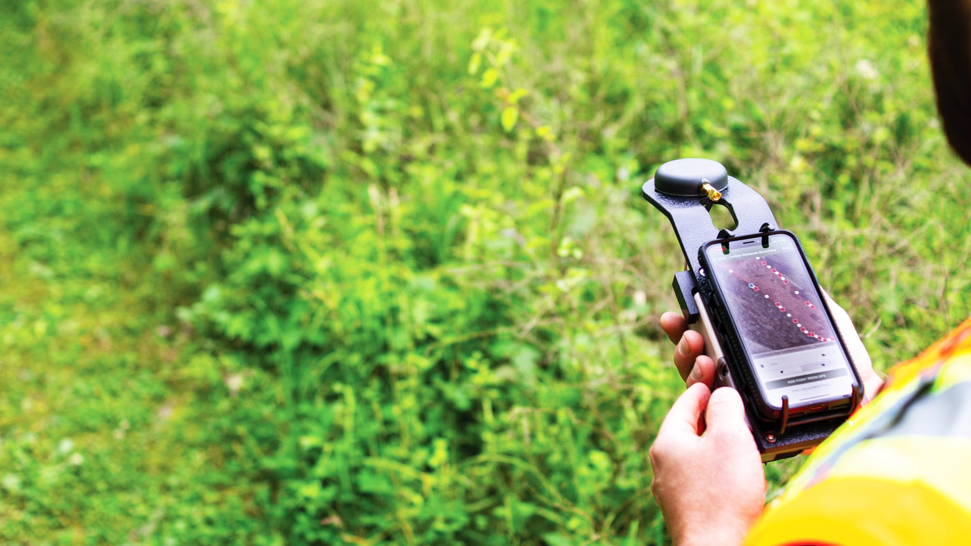
Ecobot’s GIS-based platform helps environmental scientists efficiently collect data on the natural environment surrounding a project.
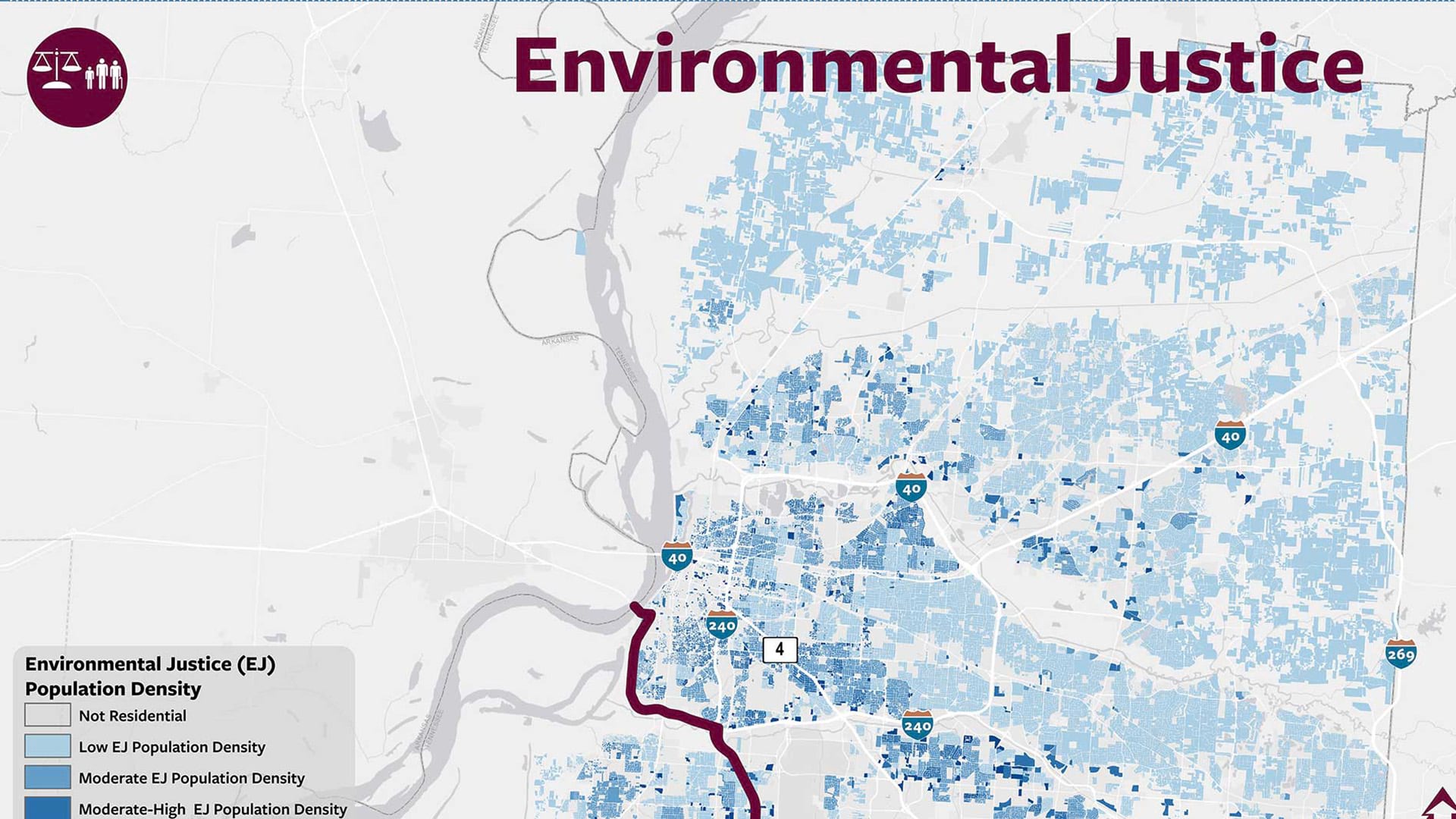
California Environmental Protection Agency has pioneered a unique geographic approach to apply principles of environmental justice.
Knowing where people are, has been instrumental in Manuel Pastor’s social advocacy efforts.

New books from Esri Press cover GIS for earth sciences and environmental management, how to start using spatial statistics tools, and more.
In Maricopa County, Arizona, the management team for the Environmental Services Department was sitting on a gold mine of food inspection data.