The Esri Brief
Get location tech news in your inbox
Trending articles


The US may have withdrawn from the Paris Agreement, but as global concern about climate change grows, countries and companies worldwide remain committed to reducing carbon emissions. Energy leaders are rebalancing their portfolios to include renewable sources such as wind and solar, and pure-play firms continue to build their businesses on alternative sources of energy. Both are using location technology to drive profitable investments in this new energy landscape by cross-referencing cost data with factors such as ocean depth, wind speeds, and sun exposure.
Even in the midst of an economic slowdown prompted by COVID-19, industry experts predict a healthy future for the renewables sector. Boston University professor Peter Fox-Penner wrote in late March that he expects a short-term contraction in the sector followed by a return to steady growth. And on April 11 the CEO of Siemens, which manufactures energy technology, said the company continues to shift its business to the realities of the industry, which include a reduction in coal and gas-based energy and an increase in renewable sources.
Meanwhile, the cost of renewables is dropping, and the pace of adoption is building. As more projects have been developed over time, more players have joined the market, driving down prices for producers and customers. The International Renewable Energy Agency’s 2018 prediction that renewable energy will be consistently cheaper than traditional fossil fuels by the end of 2020 looks to be on track.
Large established energy producers, such as Equinor of Norway, as well as firms like Renewable Energy Systems (RES) are seeing surging customer demand for renewable energy.
Corporate customers are getting into the act, too, entering agreements directly with renewable power producers to meet sustainability pledges, raising their profiles among eco-aware consumers. “The big retail stores and web giants are signing more and more contracts, because it enhances their green credentials, and it’s in their financial benefit to do so,” says Andy Oliver, CTO at RES, which has inked deals with Google, Microsoft, and other large companies to provide cleaner power. That trend is one aspect of a broader shift toward corporate social responsibility.
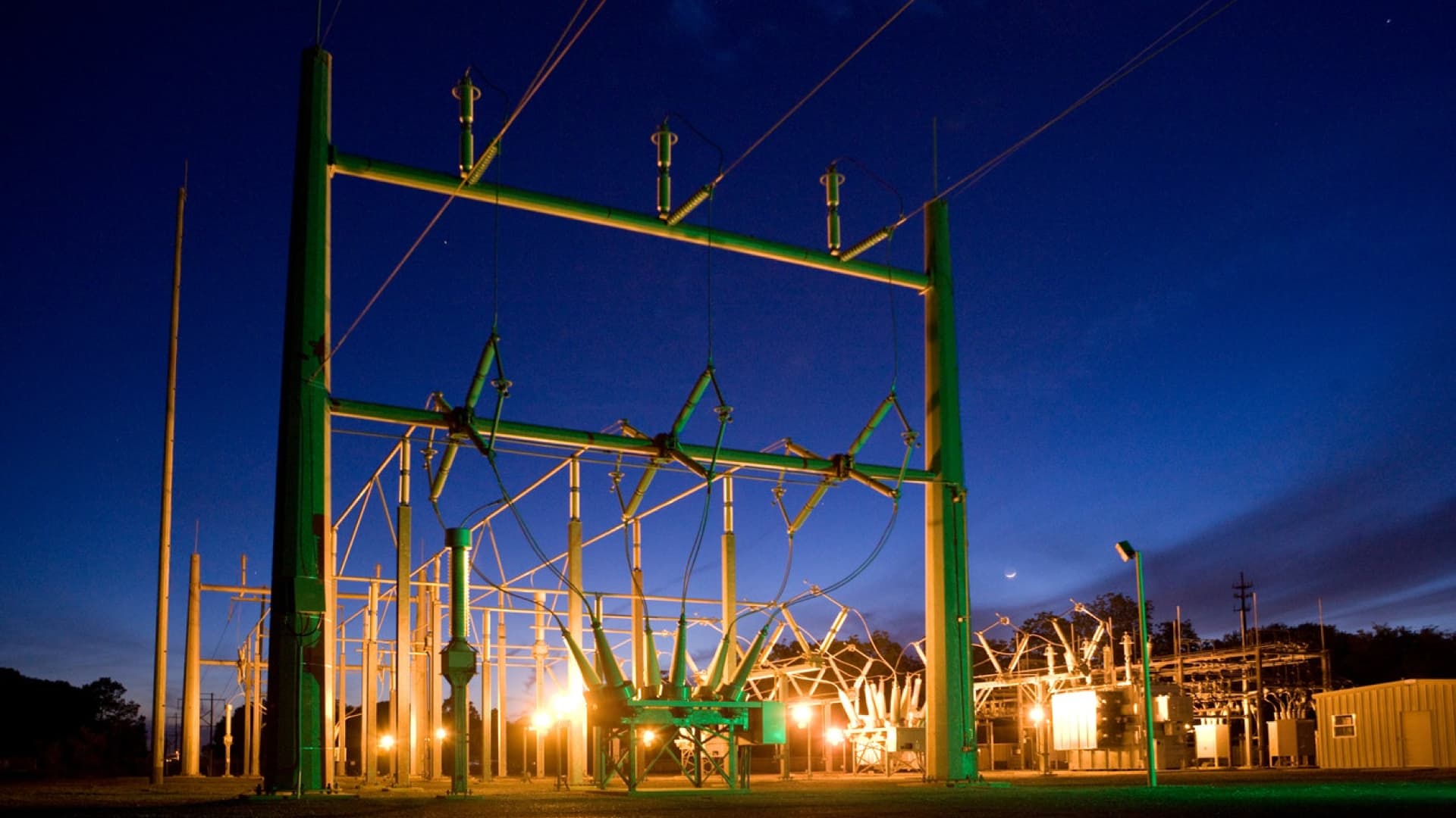
When lower bills go along with doing good for the environment, so much the better. Lower cost is indeed now a major driver of renewables. “Not everyone takes the climate threat seriously,” Oliver says. “However, paying less for something is usually something that everyone can agree on.” The pressure is on energy companies to find the most cost-efficient ways to produce renewable power so that everyone wins. For many energy producers, location intelligence, fueled by sophisticated analysis from a geographic information system (GIS), is an essential means of ensuring they make the right development decisions.
Putting Renewables on the Map
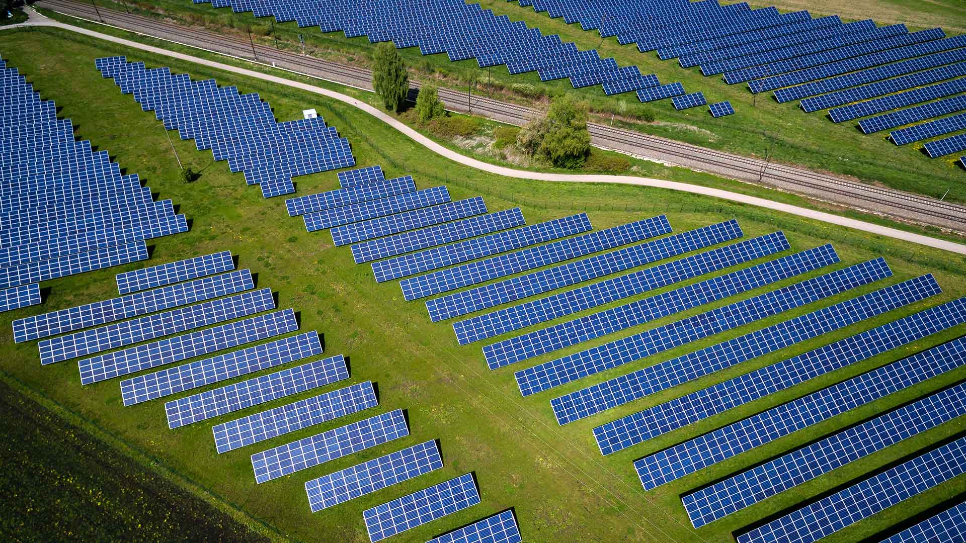
RES bills itself as the world’s largest independent renewable energy company, with a presence in North America, western and northern Europe, Turkey, and Australia—10 countries in all. To date, RES has developed or constructed projects that produce about 17,000 megawatts, which would power a country the size of Poland. Most of that energy comes from wind due to its historically low cost. But solar is increasingly taking a larger share in most of the company’s markets, as solar technology costs have fallen precipitously, Oliver says.
There is a lot of money at stake. Typical US wind and solar projects run in the $100 million to $300 million range. Counterintuitively, the cheapest piece of land might not translate into the most valuable site. Many more factors affect the decision of where to put a particular project.
Like many companies, RES relies on location intelligence across multiple phases of its business—from assessing the viability of a project site to making construction faster, safer, and more accurate.

We use location intelligence at pretty much every stage of the development and construction of our projects.
The Cutting Edge of Project Assessment
These days, RES is making siting decisions for renewables projects more quickly and accurately than in the past. It uses GIS technology to track highly granular location information for solar and wind projects (such as airspace considerations, terrain slope, wind speeds, flood plains, proximity to power lines, soil composition, and setbacks from existing infrastructure) in conjunction with cost data. GIS-generated location intelligence helps RES pinpoint the right site with the highest return on investment.
“Having all that information available at the very beginning of a project will end up saving us time and money later by avoiding investment in bad sites” Oliver says.
By leveraging location technology, he says, developers can understand in advance how much energy a site might produce, and then work with counterparts in the construction group to determine the building costs. “All of that goes in a financial model—all those costs and energy inputs—and that tells you what the cost of power is going to be,” says Oliver.
Roughly 50 people at RES use GIS. Teams work together to review locations for potential projects. Project managers review maps of permitting requirements (such as protected-wildlife areas) and degree of landowner interest, while specialists take a deeper look from a technical standpoint.
A wind project, for example, requires engineers to map the elevation and slope of an area. If the slope is too steep, the top of the turbine will not be reachable by crane, making it unworkable.
A committed innovator, RES is using drones, geospatial data, and smart construction equipment to save time and increase accuracy when digging, surveying sites down to the sub-centimeter.
The team creates a digital model of the surface of the project from drone imagery, upon which it bases drawings for the project, Oliver says. “We combine these two things into a file that can be read by a modern dozer or excavator.” For example, as an operator drives the dozer, “it’s reading where the surface should be, and it’s moving its bucket up and down or side to side to make the surface that was envisioned in the drawing.”
When digging a foundation for a wind turbine, location awareness helps the excavator reach the exact target depth, so the bucket will scoop the right amount of earth each time. Oliver says RES can save up to 40 percent of the time it used to take to dig a foundation and can avoid costly mistakes such as over-excavation and the subsequent need to back-fill. GIS helps RES operate much more efficiently, from a time and cost standpoint.

One of the main things that we use location intelligence for is site selection—being able to have all of the different layers on a map and view the wetlands and critical habitat, all of those layers put together.
Powering Self-Service Maps
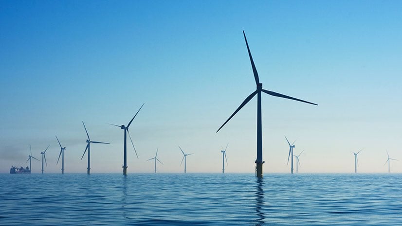
In a world that is moving (albeit slowly) to reduce carbon emissions, midstream and upstream oil and gas provider Equinor is expanding its portfolio into renewable energy—primarily offshore wind projects—in their transformation to a diversified energy company. Like RES, Equinor uses location intelligence driven by GIS to guide siting decisions.
“Not very long ago, if people wanted maps for their reports, they would have had to call the mapping department,” says Henrik Hagness, leading engineer for mapping at Equinor. But now, many professionals can handle their own queries using tailored interactive maps, driving a major increase in productivity and data-based decisions.
In a world with constraints on resources and limited untouched nature, it is more essential than ever to select the best location to optimize energy output with minimal impact. Equinor business development professionals weigh this and many other variables when deciding where to put an offshore wind farm. Location intelligence reveals important factors in the physical environment (measurements relating to the water, wind, seabed, and geology), as well as the socioeconomic environment (country borders, existing infrastructure, pipelines, cables, habitat restrictions, easements) and supply chain considerations such as logistics and shipping constraints.
Each project involves many potential players, Hagness says, ranging from governments and authorities who may set terms, conditions, and constraints, to providers of engineering, fabrication, and construction and installation services. “With GIS, we try to give the business development managers spatial intelligence and interactive maps of where we [might] pursue investment” so they can navigate through all the information to arrive at the right decision. But as at RES, selecting the location is just the beginning.
“Spatial intelligence is needed throughout [the process], from business development and siting, to moving ahead with a development project, to efficiently maintaining and inspecting the energy assets when in operation, and eventually removing the assets and bringing nature back to its original state,” Hagness says. “GIS technology and products are essential throughout the value chain for efficient reporting to all stakeholders.”
Investment Guidance, Faster
Wind farms typically have a useful life of 30 years, so it is critical to seize the right opportunity at the right time. And that means paying close attention to the cost of energy and projected revenue, along with other factors.
“If we want to develop a wind farm outside Boston, for example, we want to know the market for purchasing the services needed to build [and] how far is it to manufacture the infrastructure and sail it to Boston to assemble it,” he says. It’s important to look at the supply chain as a whole and then compare it to different potential locations.
Financial analysts used to spend weeks getting numbers for each potential project, then updating their models with newer and fresher data. They consider everything from ever-evolving market data to changing political situations.
“Now we can do in hours the same thing that we used to spend weeks on,” says Hagness.
Once Hagness’s colleagues crunch cost and project variables, they use GIS to produce color-coded interactive maps denoting areas of greatest opportunity.
An Equinor business development manager can look at the interactive map of a prospective wind turbine site, and in that one view see all relevant data—including elevation, slope, wind speed, waves, currents, soil composition, bedrock depth, ports, harbors, borders, existing infrastructure, shipping routes, and levelized cost of energy. The business development manager can check a box next to any of those layers to turn it on or off. He or she can zoom in and out and measure the site’s proximity to transportation corridors. This capability is a major advantage for a company that wants to make efficient, data-based decisions.
“I think it is fantastic that you have different layers of intelligence that you can pick and choose from,” says Elena Farne, technical director at Equinor who assesses business cases for prospective offshore wind projects. These maps “ensure that you are… getting the kind of granularity of information you would like, especially in the early screening phase,” she says.
Shared Insight Born of Complex Data
Another boon to business decisions is that responsive GIS maps make it easy for teams to take another look at areas they previously have put aside, Hagness says. “If you had a model from 2017, you can recalculate all this [for the present]. Then you have two datasets. And what you do is you just drag the curtain back and forth, and you can see the differences.” So, if the price of steel has come down or interest rates are lower, the conditions might be right to do the project today, he says. “You can use the slider to see an immediate comparison.”
GIS data provides the teams a benchmark across renewable projects, Farne says. “You have an immediate impression of whether you’re competitive and where you stand in terms of cost in relation to production.” This helps ensure a positive ROI.
The technology makes it easy to share complex information, including models and dashboards, without the need to get on a plane. “The beauty of it is that it’s all from a desktop assessment. In a research-constrained organization, you can acquire data, and you don’t need to travel. It’s just a data-sharing exercise in most cases with our GIS specialists who update and enable the interactive maps” Farne says.
As the pressure to mitigate climate change builds by the day, location intelligence supports traditional energy companies and pure-play renewable providers alike. But in pursuing renewables, neither can afford to deploy resources in a haphazard way. Location technology reduces the risk considerably. Oliver of RES goes so far as to say, “Without good wind and solar sites that we’ve found through using GIS software, we wouldn’t have a business.”