Creating Geospatial Infrastructure That Delivers During Disasters
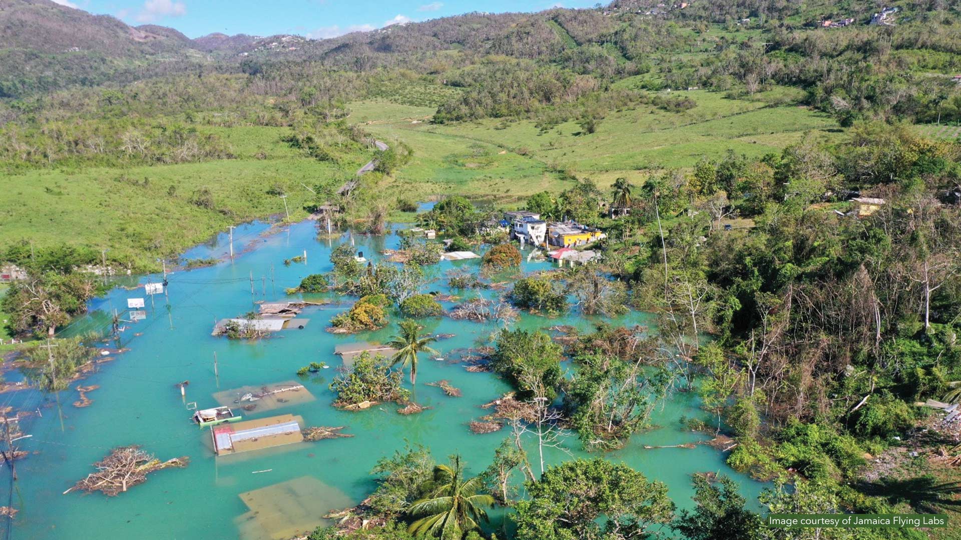
When Category 5 Hurricane Melissa slammed into Jamaica in October 2025, Alicia Edwards and her team moved quickly to assess the damage.
When Category 5 Hurricane Melissa slammed into Jamaica in October 2025, Alicia Edwards and her team moved quickly to assess the damage.
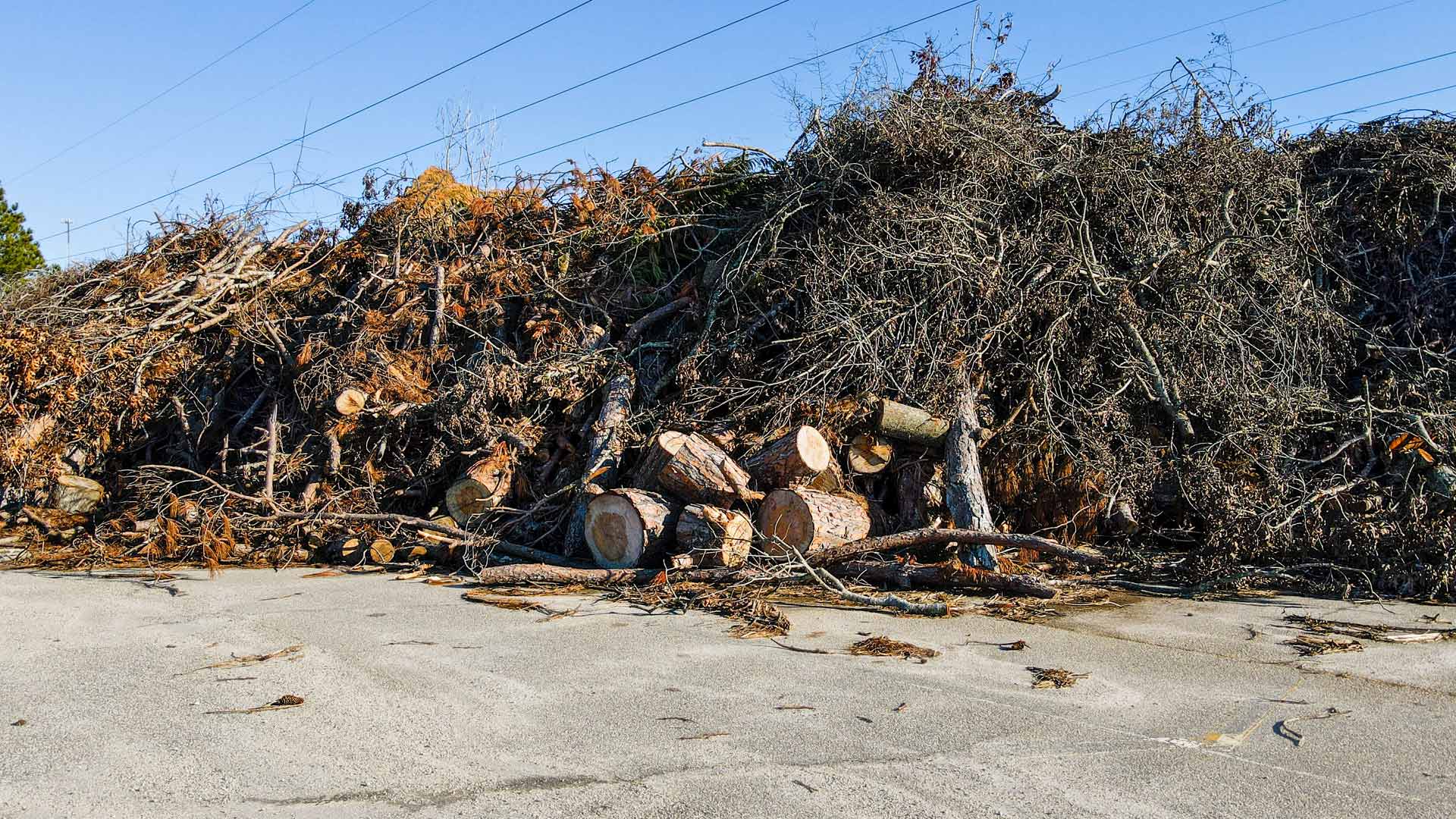
After struggling to gain an understanding of the situation, the South Carolina National Guard deployed GIS to assess damage and clear roads.
In emergency management, success isn’t about how much data gets processed; it’s about how well others see what GIS can do.
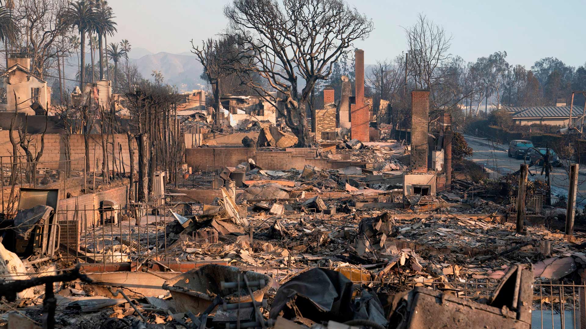
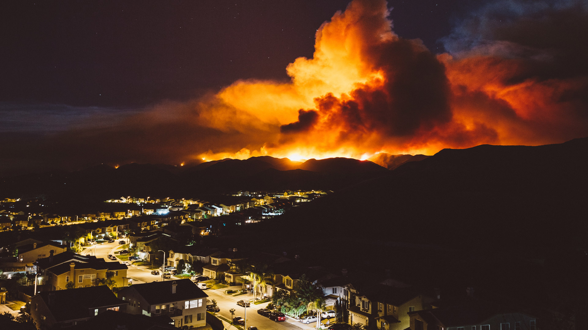
The Palisades and Eaton fires consumed more than 16,000 buildings and vehicles. What of those metals, toxins, and plastic remains?
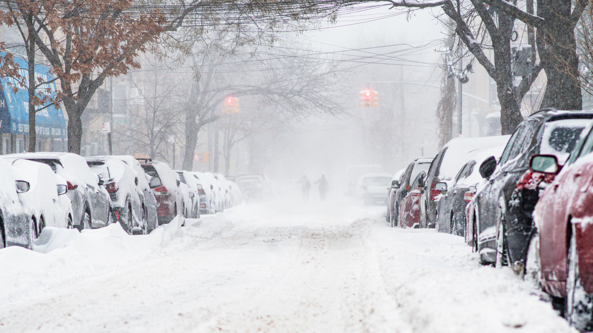
After a record-setting snowstorm hit Oswego County, New York, county staff used GIS to coordinate and prioritize requests for help.
With the organization’s people and operations dotting the globe, ArcGIS deployed across the enterprise is key for knowledge management.
Dr. Patricia Carbajales-Dale has used GIS her entire career to assist others—whether teaching the technology or responding to disasters.
ICEYE’s radar imaging can see through smoke, clouds, and at night. In Los Angeles, it helped disaster response agencies get a head start.
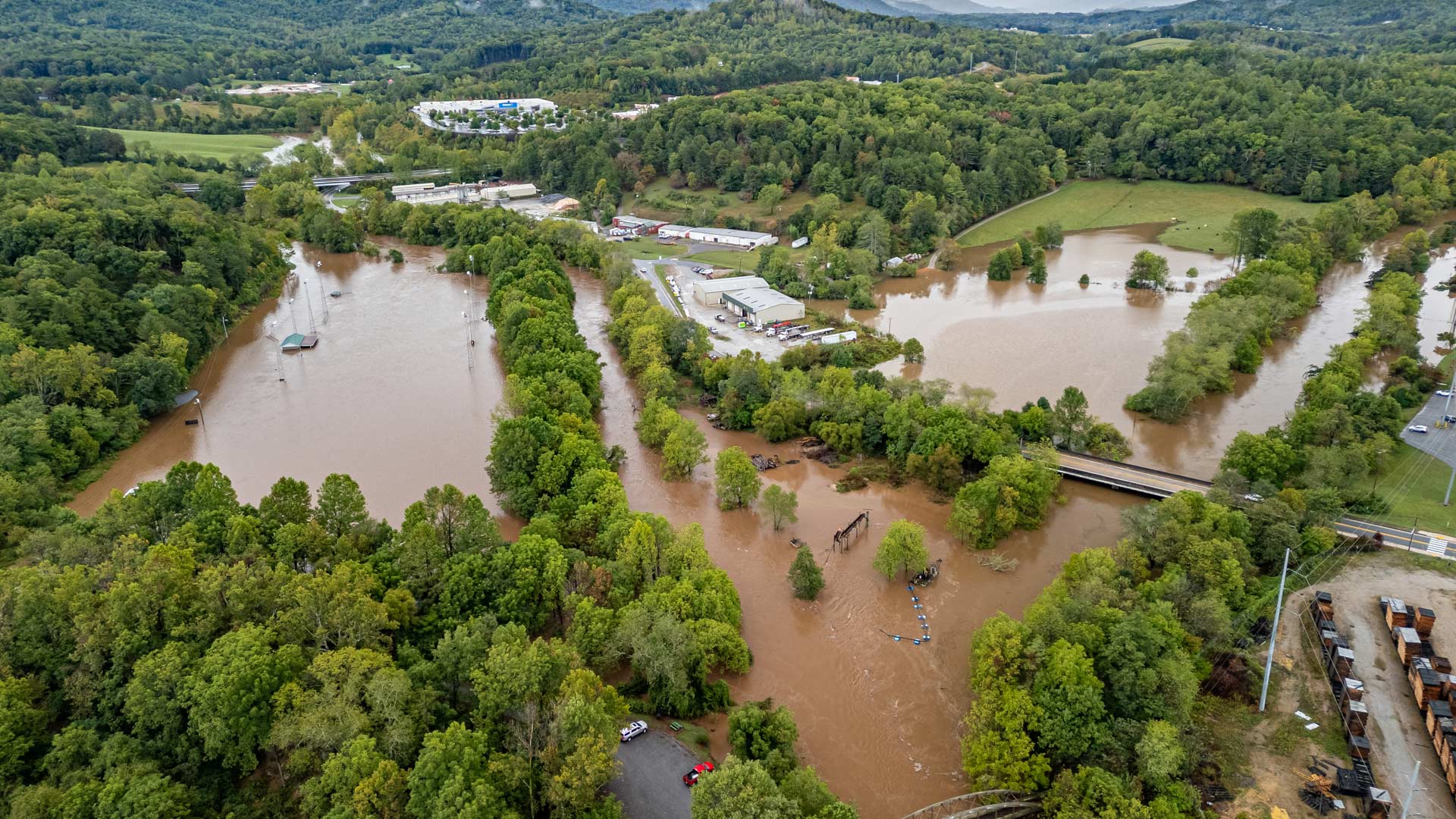
With help from Esri’s Disaster Response Program, agencies predicted flood risk, mapped isolated communities, and shared travel restrictions.
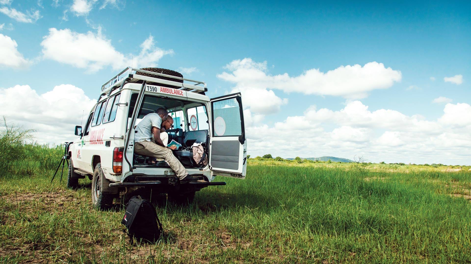
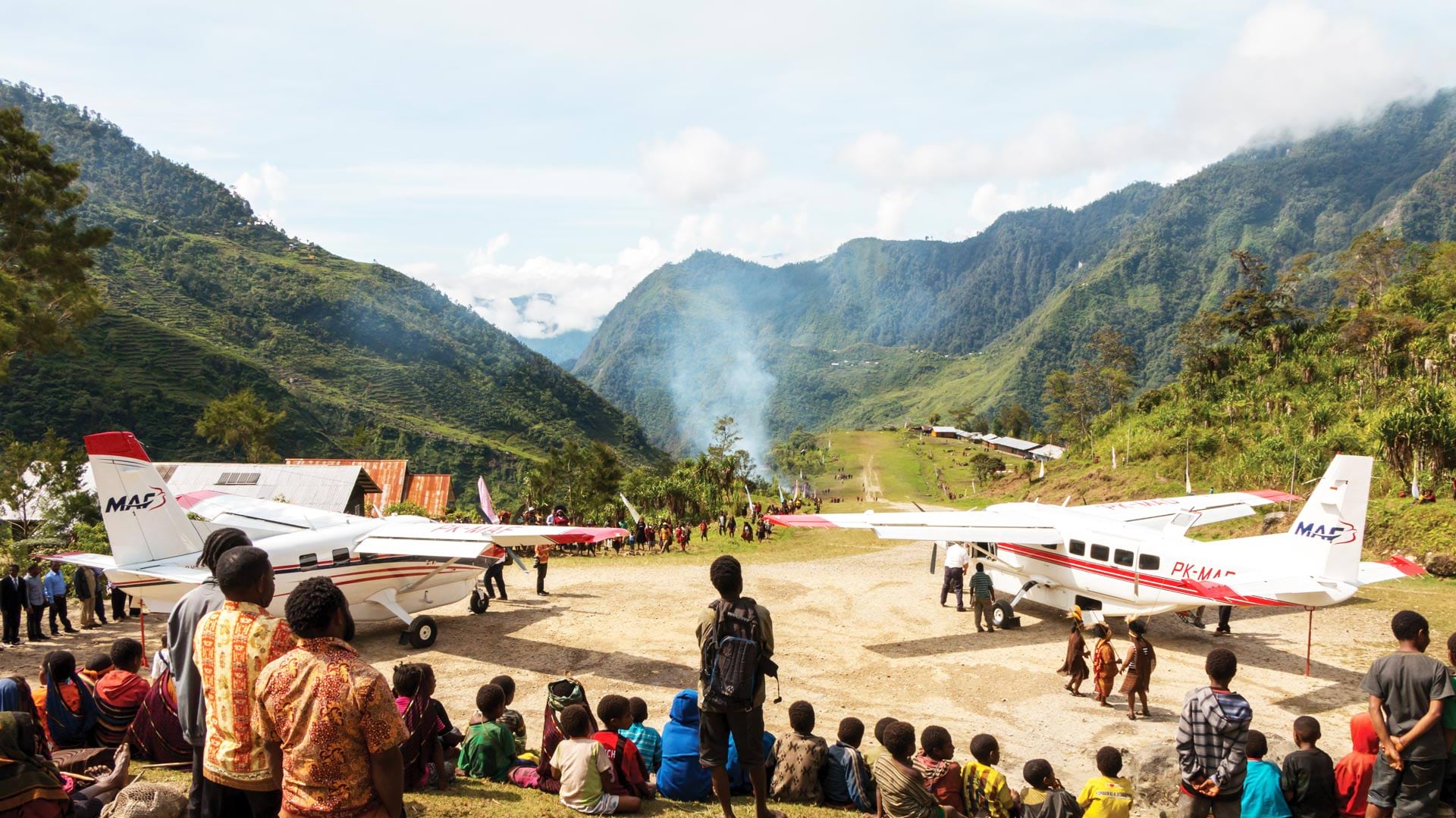
Mission Aviation Foundation’s recent adoption of GIS has enhanced its ability to protect its missionaries and pilots in remote places.
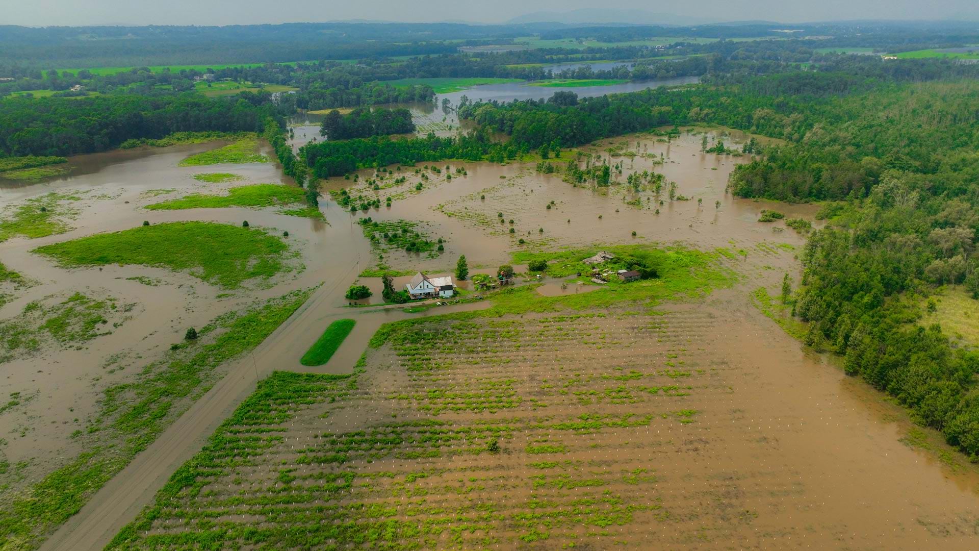
A team at the University of Vermont’s Spatial Analysis Laboratory employed GIS tools and drones for flooding disaster response in July 2023.
To act quickly when natural hazards strike, emergency service providers can now use First Due to bring together critical fire and EMS data.