Careers in Conservation: An Expert Q&A
Esri’s director of conservation solutions details various career paths and the skills graduates need to succeed.
Esri’s director of conservation solutions details various career paths and the skills graduates need to succeed.
While learning how to use GIS technology, students address environmental challenges in their own communities.
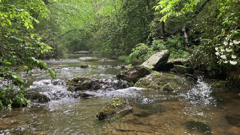
The department of natural resources uses a GIS-based tool to forecast the impacts of land use and climate change on freshwater fish species.
Mapping and heat analysis helped determine where to plant 5,000 trees in the Tennessee city.
GIS tools help Alabama’s State Wildlife Action Plan team collect expert input, map species locations, and organize data for preservation efforts.
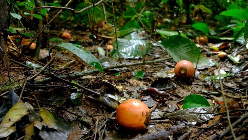
How are elephants and guitars connected? The Ebony Project proves that elephants are seed dispersers for ebony trees used to make guitars.
Scientists made maps to show species distribution and highlight threats facing endangered and threatened species.
In honor of Dr. Goodall’s remarkable work, watch her discuss the role GIS technology plays in supporting community needs in Tanzania.
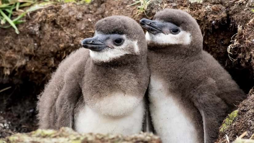
This is Argentina’s first conviction for ecocide. It also allowed for the expansion of the Punta Tombo Natural Protected Area.
ArcGIS technology helps ta state game commission manage 1.6 million acres open to hunting.
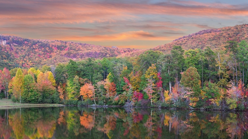
Scientists use GIS technology to help enhance biodiversity and climate resilience.
By combining oceanic data with GIS technology, an online hub will support sustainable ocean and coastal development.