Make the Most of Your Interactive Maps
As maps have switched from static paper items to digital conversations, you need to think about how interactive to make your maps.
As maps have switched from static paper items to digital conversations, you need to think about how interactive to make your maps.
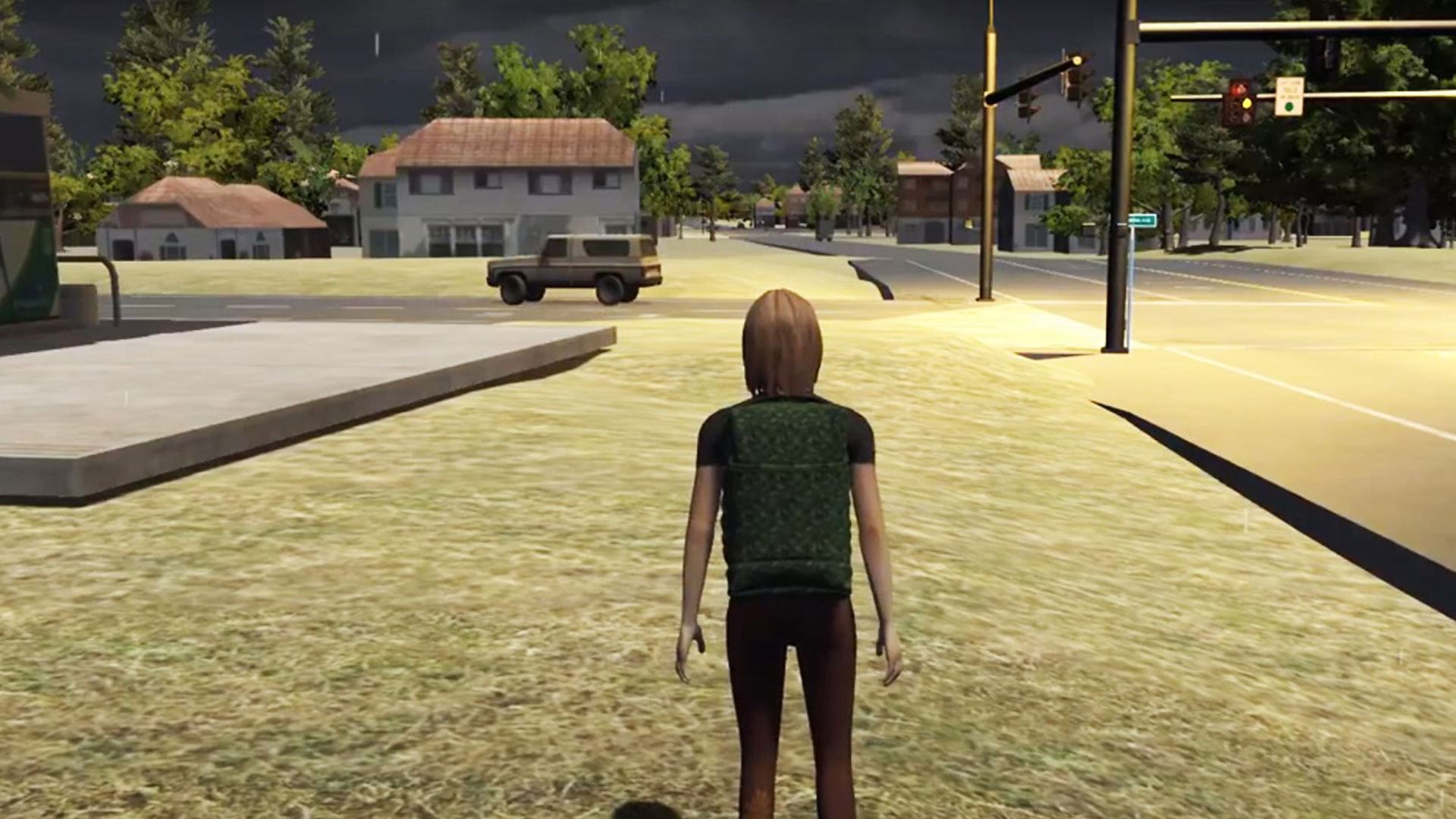
See how researchers at Rochester Institute of Technology (RIT) in New York used ArcGIS to create serious games for disaster response.
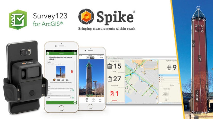
Spike is a laser measurement device from ikeGPS that boosts field productivity and data capture capabilities when used with Survey123 for ArcGIS.
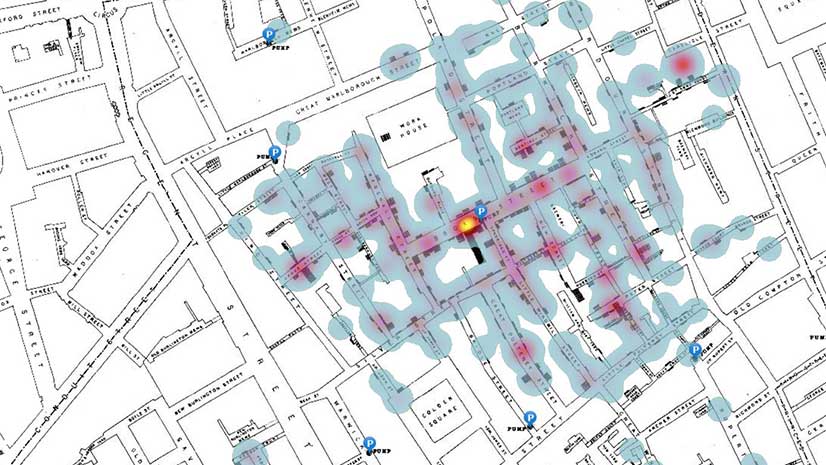
In this ArcGIS Learn lesson, you will remap Dr. John Snow's cholera outbreak data from 1854 in ArcGIS Online.
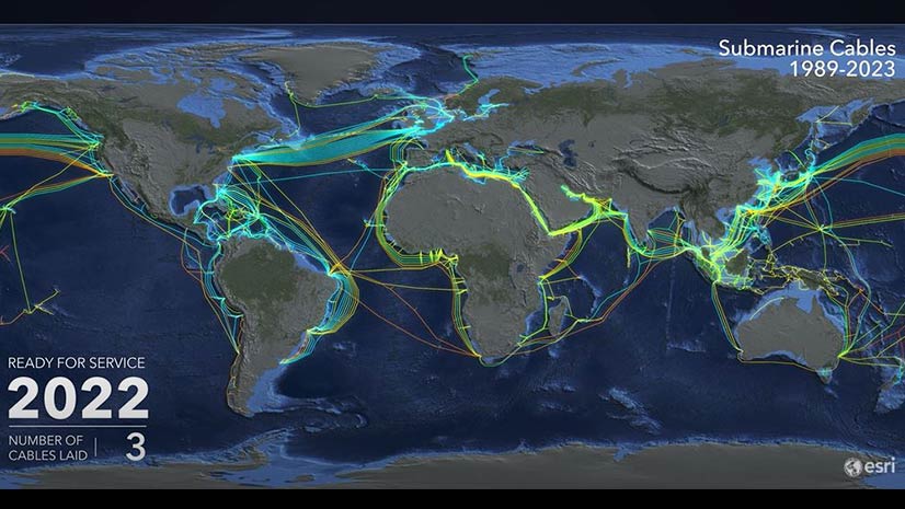
View an animated map of the worldwide system of underwater cables that carry telephone and Internet traffic.
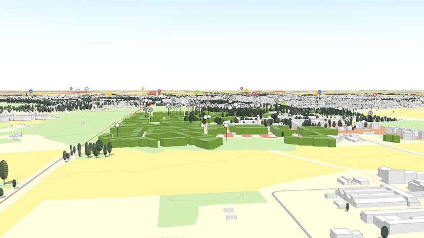
New capabilities in ArcGIS Urban will help you create, edit and analyze designs plus obtain feedback about them.
Try out the beta version of ArcGIS Field Maps., the new premier maps app for iOS and Android devices.
Representatives from the Grand Canyon Trust talked about the ArcGIS StoryMap they created called The Voices of Grand Canyon.
Learn to add charts to pop-ups in ArcGIS Online by following these step-by-step instructions from Esri technology evangelist Bern Szukalski.
Esri technology evangelist Bern Szukalski shows you how to create a user profile in ArcGIS Online that's polished and professional.
The Cedar CT8 provides high accuracy GNSS capabilities for collecting and communicating data using ArcGIS field apps.
The City of Seattle created a Web GIS app that maps eateries offering takeout, curbside, and delivery services during the COVID-19 pandemic.