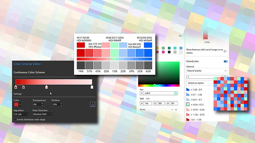
Map Viewer has given you access to close to 400 color ramps, filtered based on the type of map you are building. That’s a lot… but we’re under no illusions that we are covering every potential use case, and it’s unlikely we ever will!
However, with the December 2021 release of Map Viewer we have looked to plug some gaps. We’ve added a bunch of new ramps, and there are some specific issues we’ve tried to address. As with all of the color ramps we build these days, these should be color-blind-safe (although some may be more effective than others):
Subdued
Since we started creating ramps for Smart Mapping we have tended to concentrate on bright high-impact colors (including those specifically designed for dark backgrounds), a weak area for ArcGIS historically. Well, we may have pushed that too far! We noticed that the ‘subdued’ category was looking a bit thin now, so we’ve added some more:

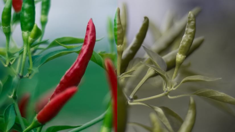
‘Above and Below’
No shortage of options for this theme, but most were built with a neutral color, or even white/dark gray, in the center. This is a valid use case, but there are occasions when you want the center to be more distinct. These ramps give you that. In each case a contrasting color is used for the middle value:


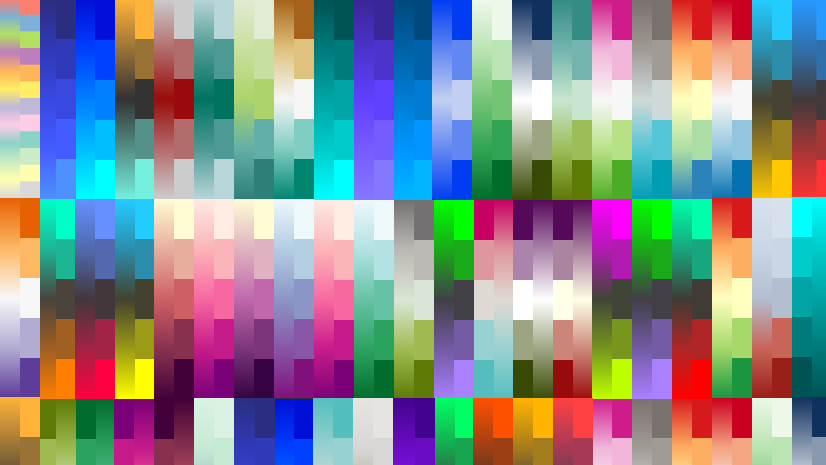
Unique symbols
We’ve added to your options here with a mixture of bright and subdued, including some that focus on variations around one color.

We will continue to add to our set of color ramps in Map Viewer (at least for as long as we can without choking it up!). If you see any areas that you think are under-represented please let us know.

Article Discussion: