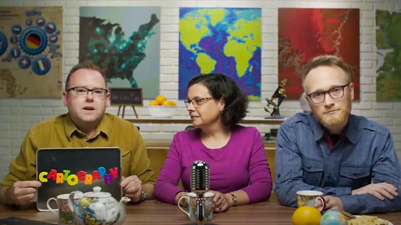
There’s Still Time to Sign Up for Cartography
The Cartography. massive open online course (MOOC) starts February 16, 2022 and continues for six weeks. It's educational, free, and fun.
The Cartography. massive open online course (MOOC) starts February 16, 2022 and continues for six weeks. It's educational, free, and fun.
Esri president Jack Dangermond gave a TED Talk recently, focusing on how GIS technology will be key to creating a sustainable future.
Key West, Florida, contributed its address point data to the ArcGIS World Geocoding Service, making the information more accurate for everyone.
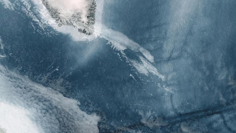
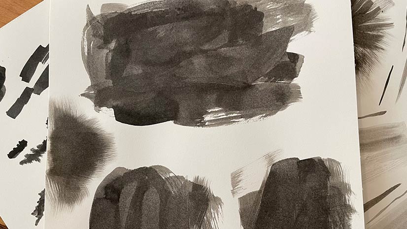
Esri cartographer Wes Jones looks to the clouds in the sky for mapping inspiration.
Esri cartographers will show you how to hone your mapping skills during a free massive open online course (MOOC) that starts in February.
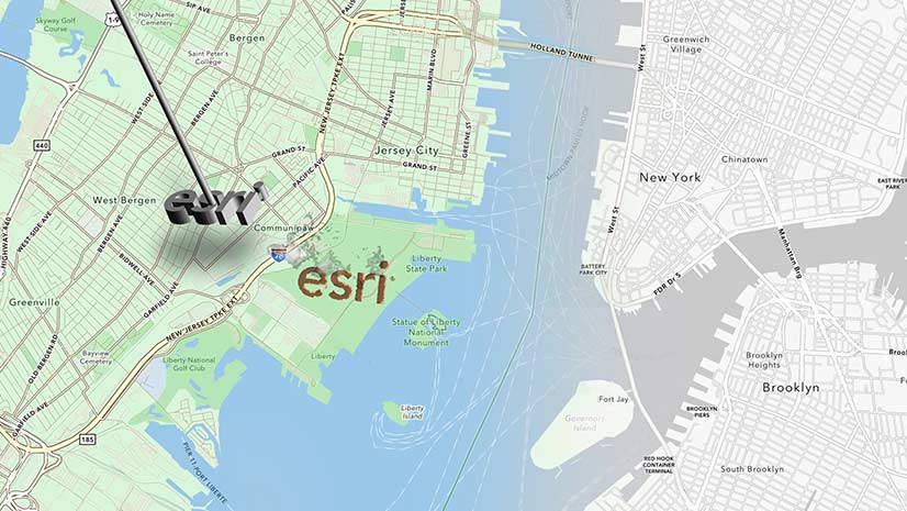
Learn the process of customizing an Esri basemap to meet your branding needs.
Suffolk County, New York, officials use dashboards and location-based data to ensure residents have equitable access to the COVID-19 vaccine.
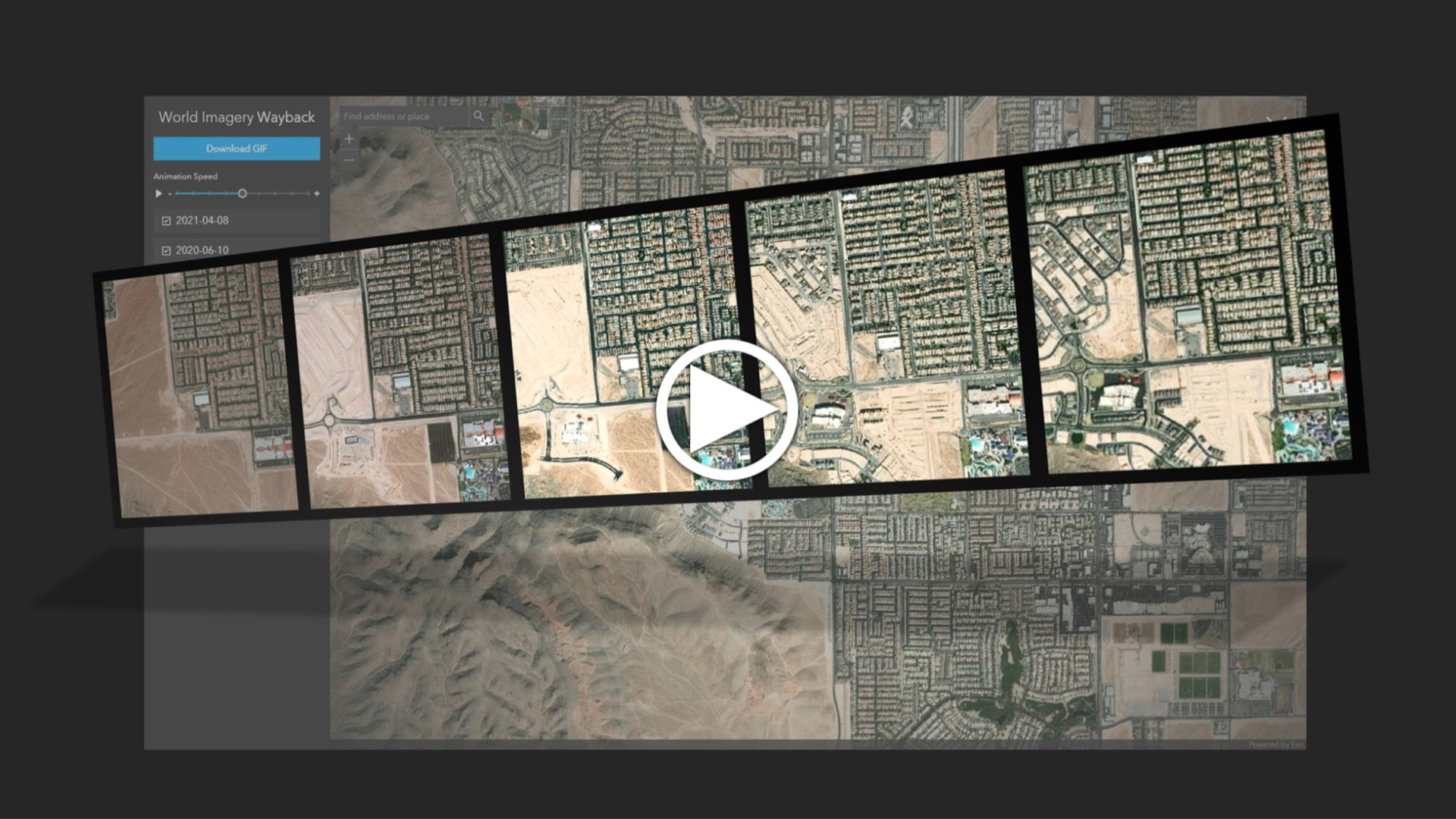
Learn to create and share animations of your images of interest using the World Imagery Wayback app.
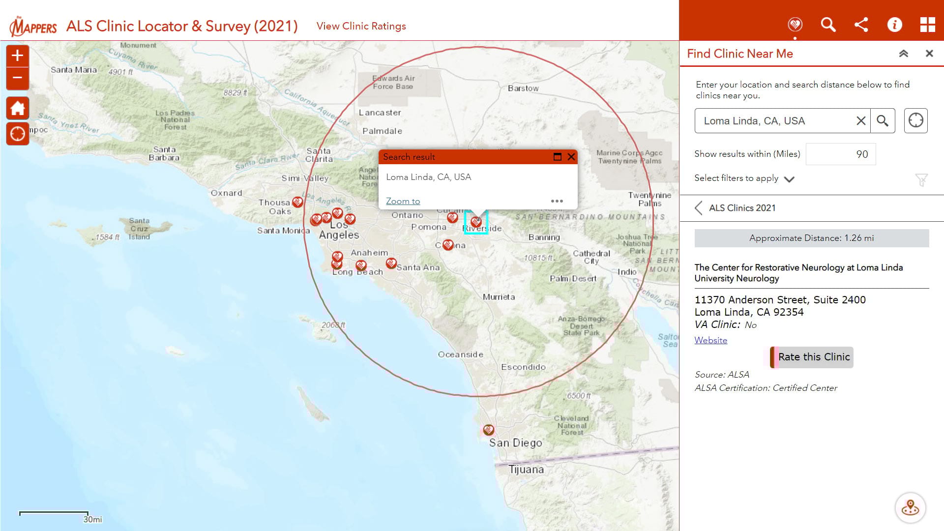
Pat Dolan, diagnosed with ALS or Lou Gehrig's disease, uses his GIS knowledge and skills to help other ALS patients locate care services.
Esri cartographer Wesley Jones describes how he made an ink landscape inspired painting in ArcGIS Pro.
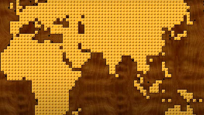
Watch Esri cartographer John Nelson use ArcGIS Pro to turn map polygons into something that resembles a popular toy.
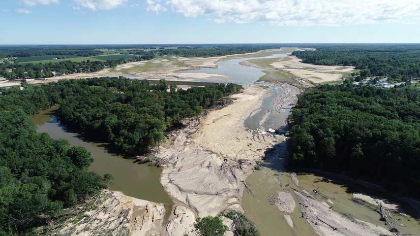
What does a county GIS department do to update maps when two lakes become a river due to dam failures?