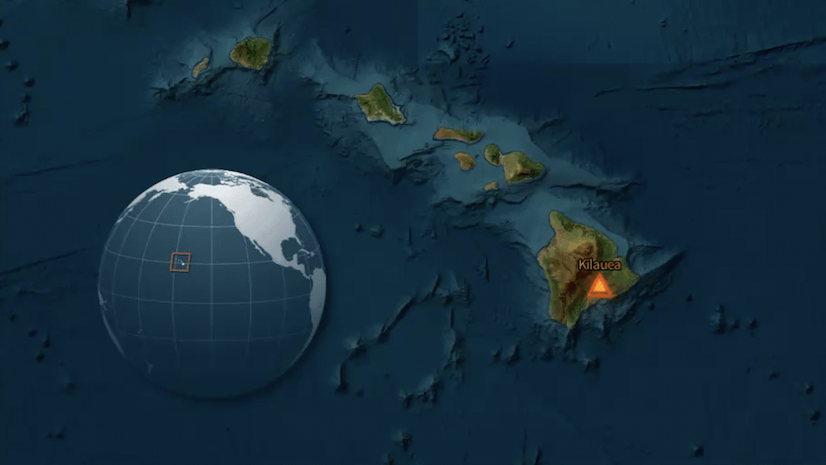
Storytelling with Animated Symbols
Find out how to convey motion, create atmosphere, and add visual cues in Map Viewer using a multimedia story about the volcano Kīlauea.
Find out how to convey motion, create atmosphere, and add visual cues in Map Viewer using a multimedia story about the volcano Kīlauea.
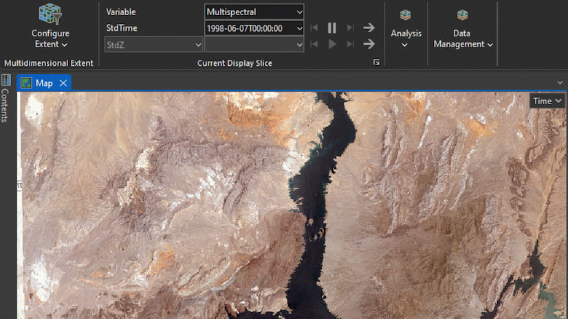
New enhancements streamline the analysis of hyperspectral imagery and simplify how users can extract meaning from complex imagery datasets.
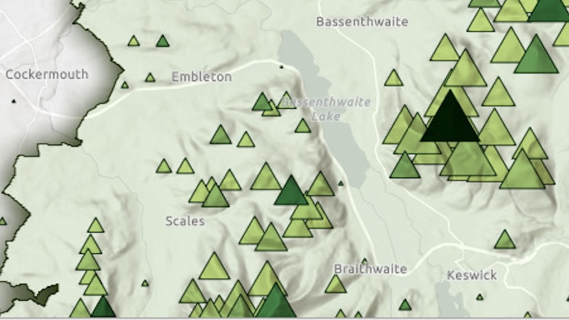
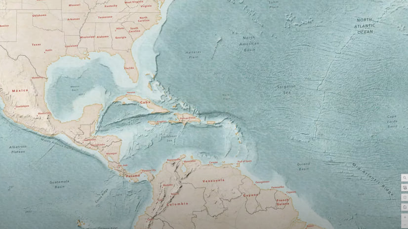
Show the mountains of England's Lake District National Park by modifying a basemap to reveal a shaded relief and display its topography.
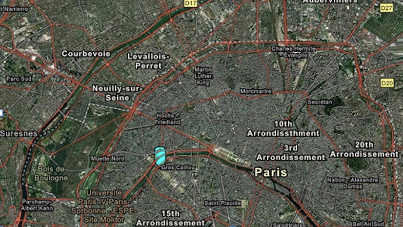
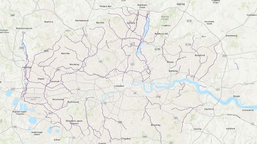
In this tutorial, create a web map of Paris, France, using Map Viewer in ArcGIS Online.
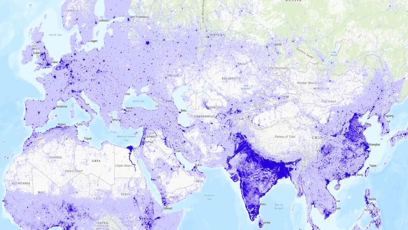
Explore how multidimensional imagery layers can enhance your organization’s management and utilization of multidate remotely sensed content.
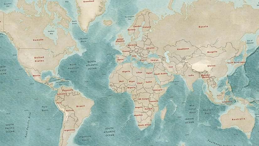
In part 2 of this video series, learn to use texture layers in a custom basemap and modify the appearance of vector tile layers.
In part 1 of this video series, use the Vector Tile Style Editor to make textures such as a water-sourced wave texture in ArcGIS Online.
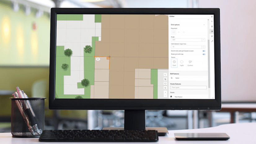
New tools are available in Map Viewer to simplify editing workflows, including new drawing tools for creating features.
The June 2025 update includes new capabilities in Map Viewer, user type updates, and streamlined analysis workflows with ModelBuilder.
Learn how to use data to create a hosted feature layer and a hosted feature layer view in ArcGIS Online.
Learn how to change the layer properties of an existing feature layer to better suit your purposes.
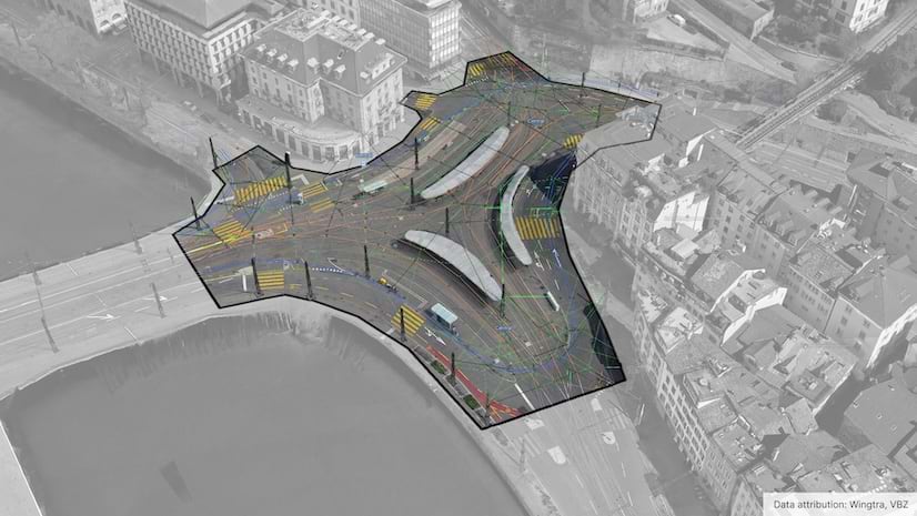
An innovative study used GIS technologies to track where wildlife were crossing roads.