Preserving Home with GIS
Lily Jenkins has spent her whole life using GIS to help her community, from tackling invasive mangroves to responding to deadly wildfires.
May 2024

Lily Jenkins has spent her whole life using GIS to help her community, from tackling invasive mangroves to responding to deadly wildfires.
In this tip, learn how to configure and use a locator view for your organization in ArcGIS Online.
The University of Rhode Island has built an accessible GIS-based system of data management to make its campus a safer place.
Professor Marc Bierkens talks about the World Water Map, a project he led to bring attention to the global freshwater crisis.
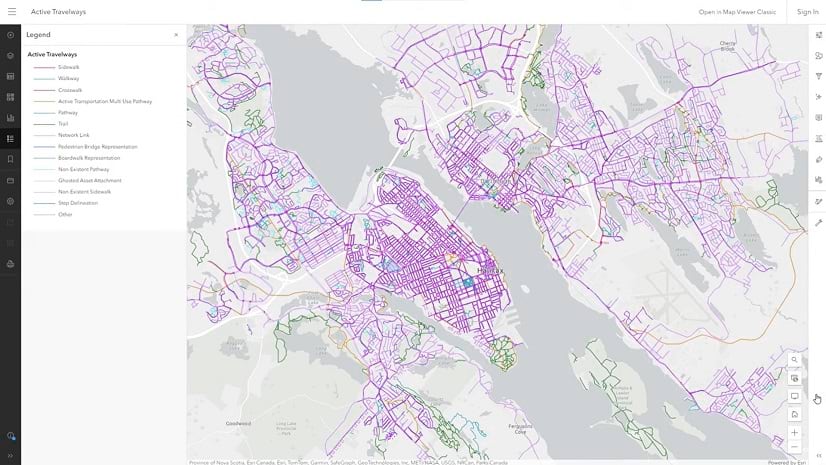
The Hawai'i Broadband Digital Equity Office uses GIS to roll out popup events, digital literacy classes, and networked support across the state.
Join us for the 2024 Esri User Conference, taking place July 15-19 in San Diego.
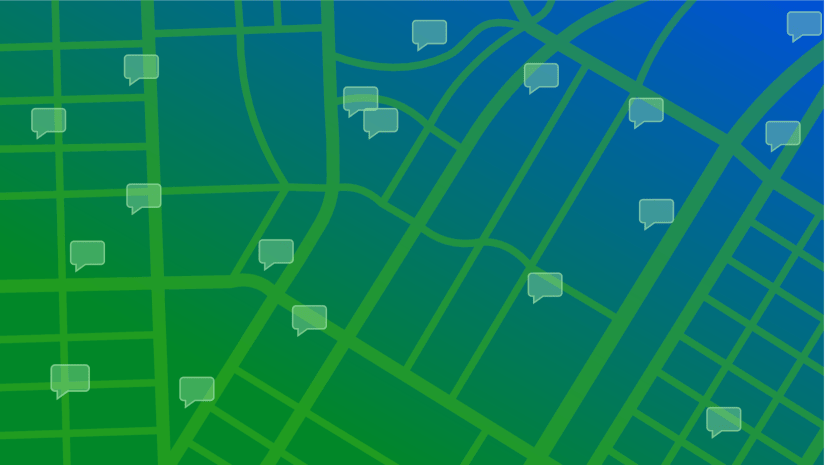
Esri is launching a new podcast to help you learn collaboration and engagement tips and tricks from the experts.
Validate your entry-level ArcGIS skills in this new Esri technical certification exam.
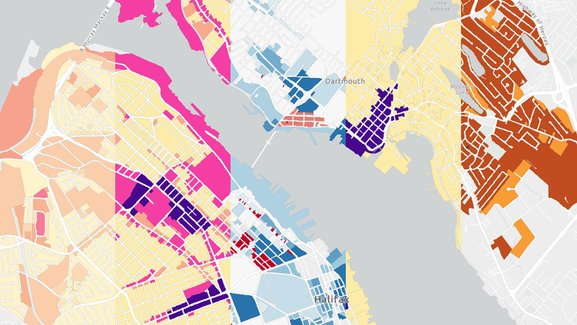
Tips and techniques for designing maps with the Counts and Amounts (color) style in Map Viewer.
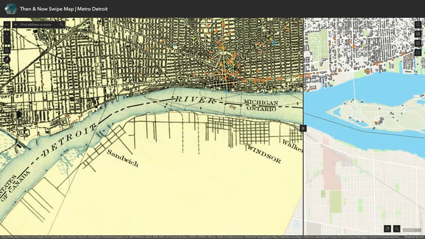
Create a comparison swipe map using the USGS Topo Map Explorer and ArcGIS Living Atlas data.
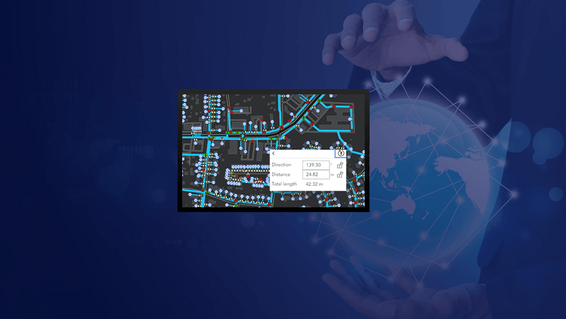
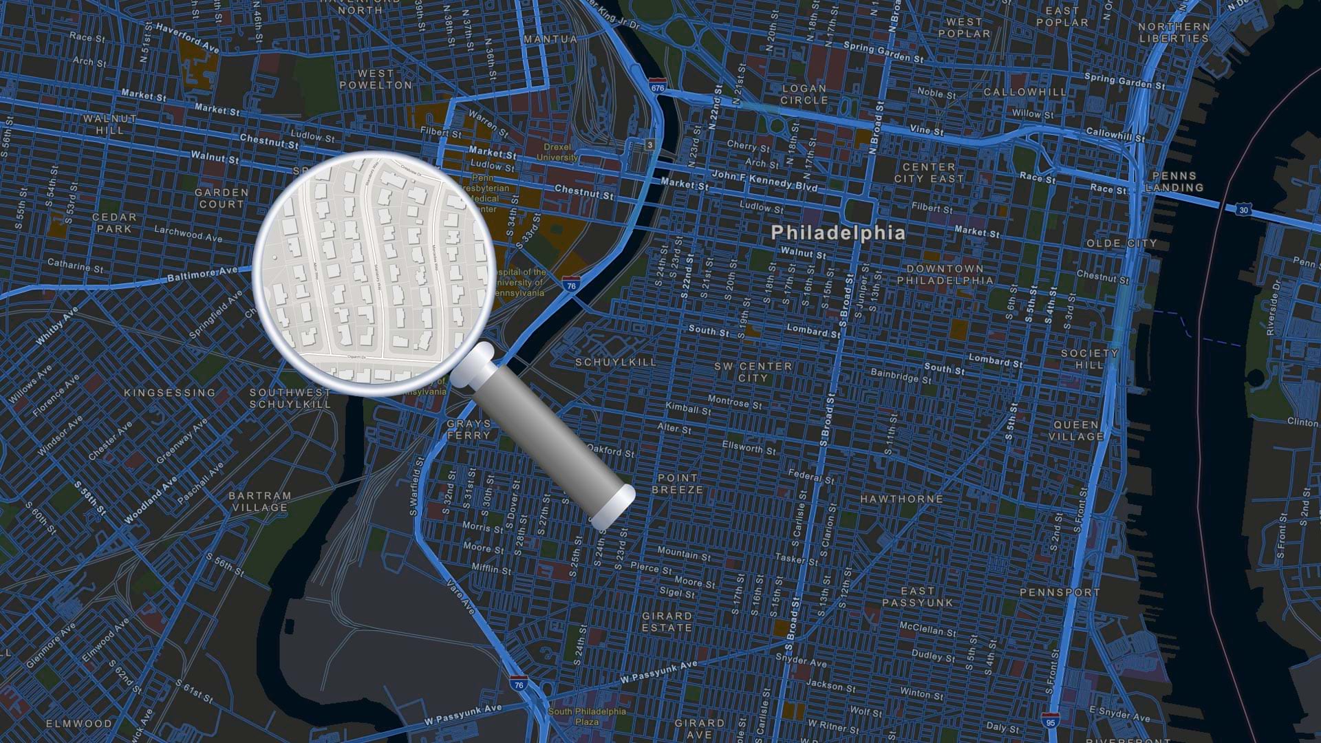
Get more precision while editing in ArcGIS Online using interactive tooltips to set your own editing constraints.
Check out Michigan's RenewMI Project Viewer, an app built with ArcGIS Experience Builder.
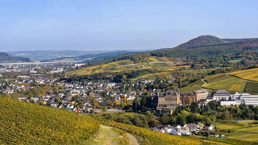
Berthold Becker GmbH is using GIS and digital twin technology to improve the response to the Ahr Valley flood disaster that occurred in 2021.
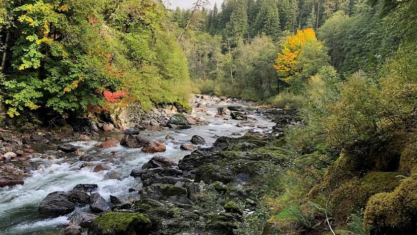
Learn how Washington State is creating a standardized, integrated set of elevation-derived data for hydrography mapping and analysis.
This no-cost training seminar explores how to use Python scripts to save time and automate common ArcGIS tasks.
One of the easiest ways to improve a map is to improve its legend. In this video, learn to create a clear legend in ArcGIS Online.
Join this course and learn how the application of spatial data science uncovers hidden patterns and improves predictive modeling.