
January 20, 2026 |
Dr. Dawn Wright | Conservation
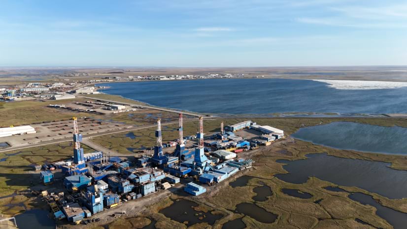
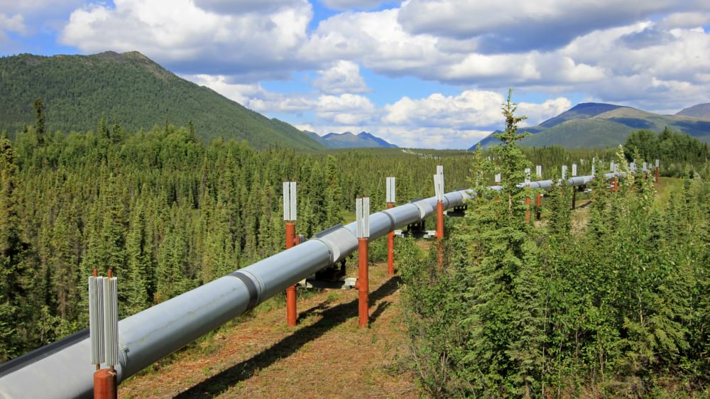
When Alaska’s founders wrote the state constitution in 1956, they embedded a mandate that the state’s natural resources belonged to its people and must be developed for their maximum benefit. Within a decade, oil had been discovered on the North Slope. By 1977, the Trans-Alaska Pipeline System was moving crude oil south to Valdez. For more than four decades, Alaskans have received direct royalty payments from the Alaska Permanent Fund.
Now the state is applying that same mandate to an intriguing resource: empty rock formations that can hold carbon dioxide.
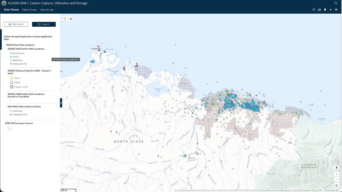
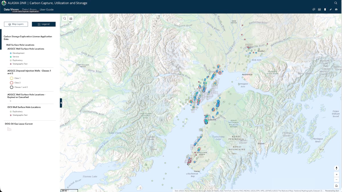
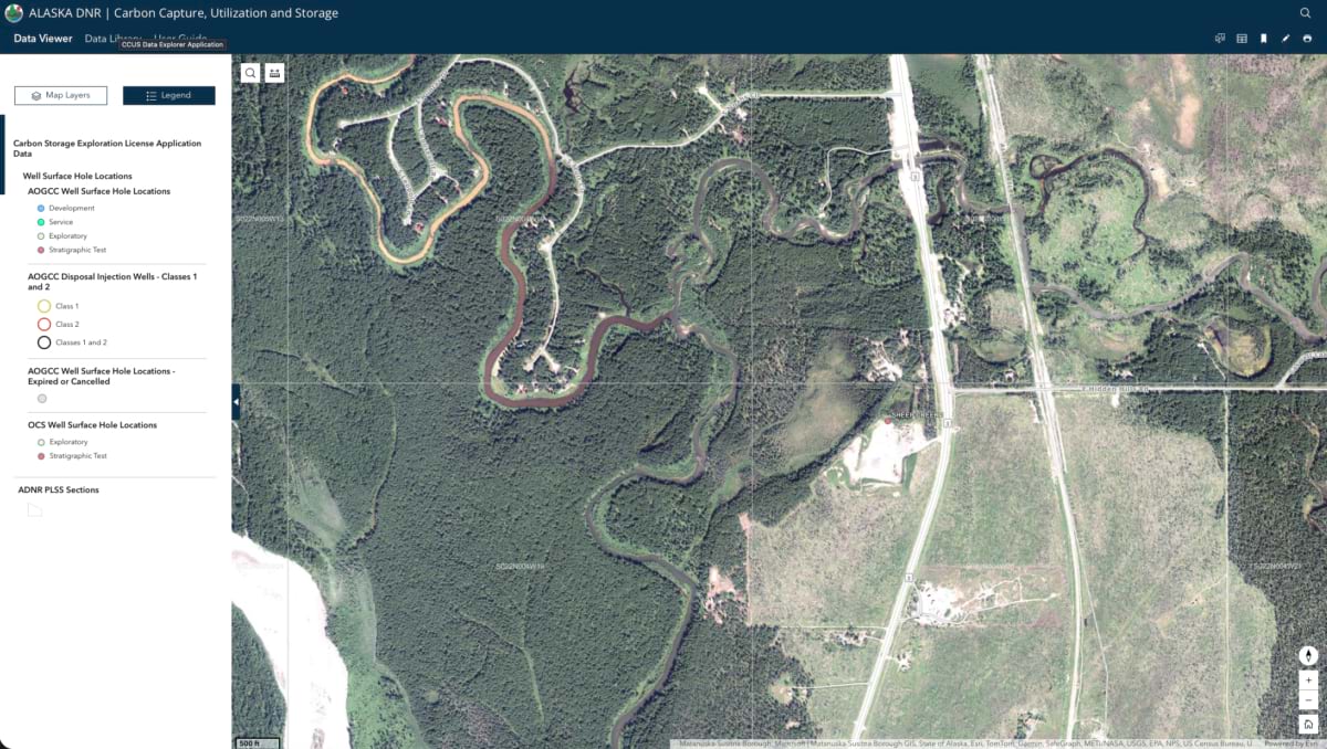
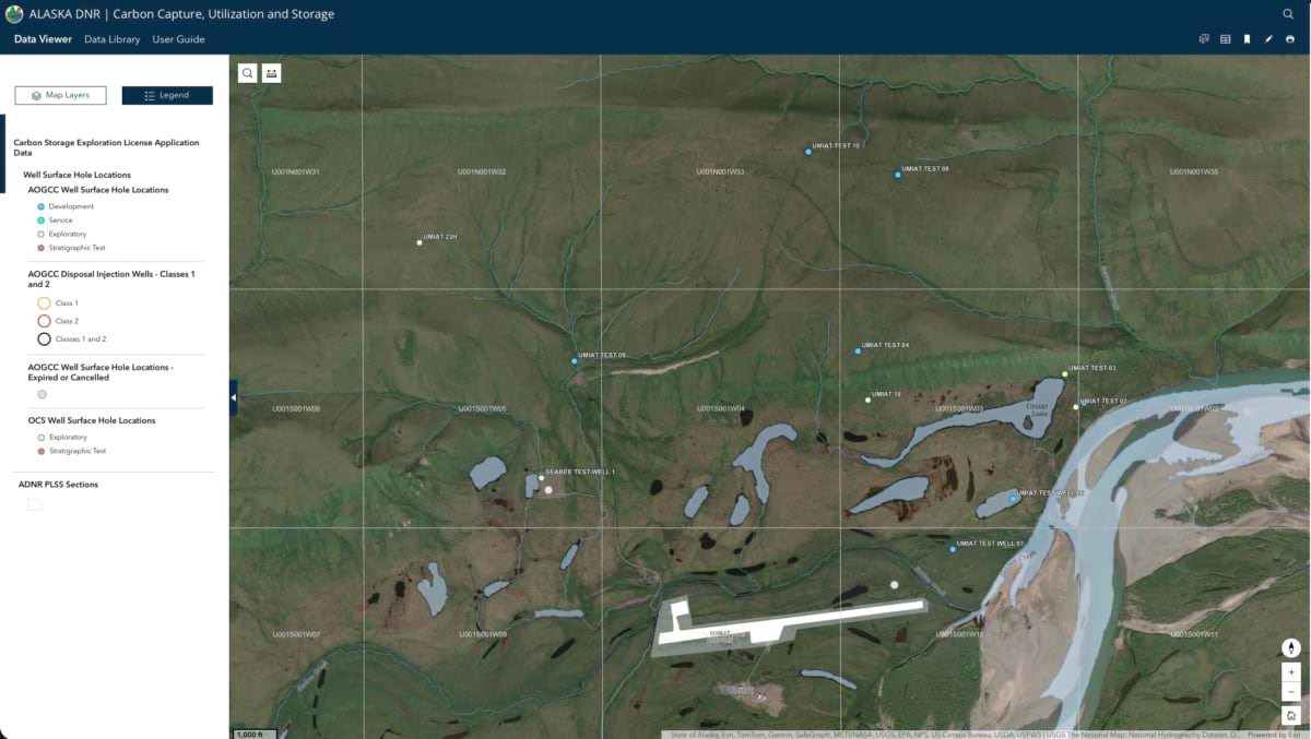
The Alaska Department of Natural Resource (DNR) launched the Alaska Carbon Capture, Utilization, and Storage (CCUS) Hub in December 2025, with support from a US Department of Energy grant. HDR, a professional services firm specializing in architecture, engineering, and construction services, built the publicly accessible mapping platform on ArcGIS Hub technology. HDR’s deep roots in Alaska’s oil and gas regulatory landscape helped it aggregate the well data, seismic surveys, landownership layers, and permit guidance that the CCUS Hub delivers.
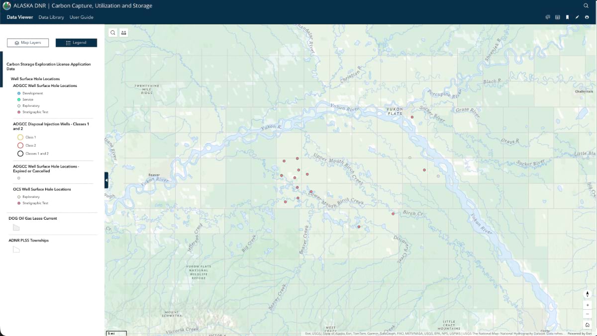
“There may be a really great opportunity to sequester CO2 in the interior of Alaska that we have no idea about yet,” said Heather Beat, petroleum land manager at DNR’s Division of Oil and Gas. “It really paints this unfinished picture of what’s going on with the subsurface and the geology.”
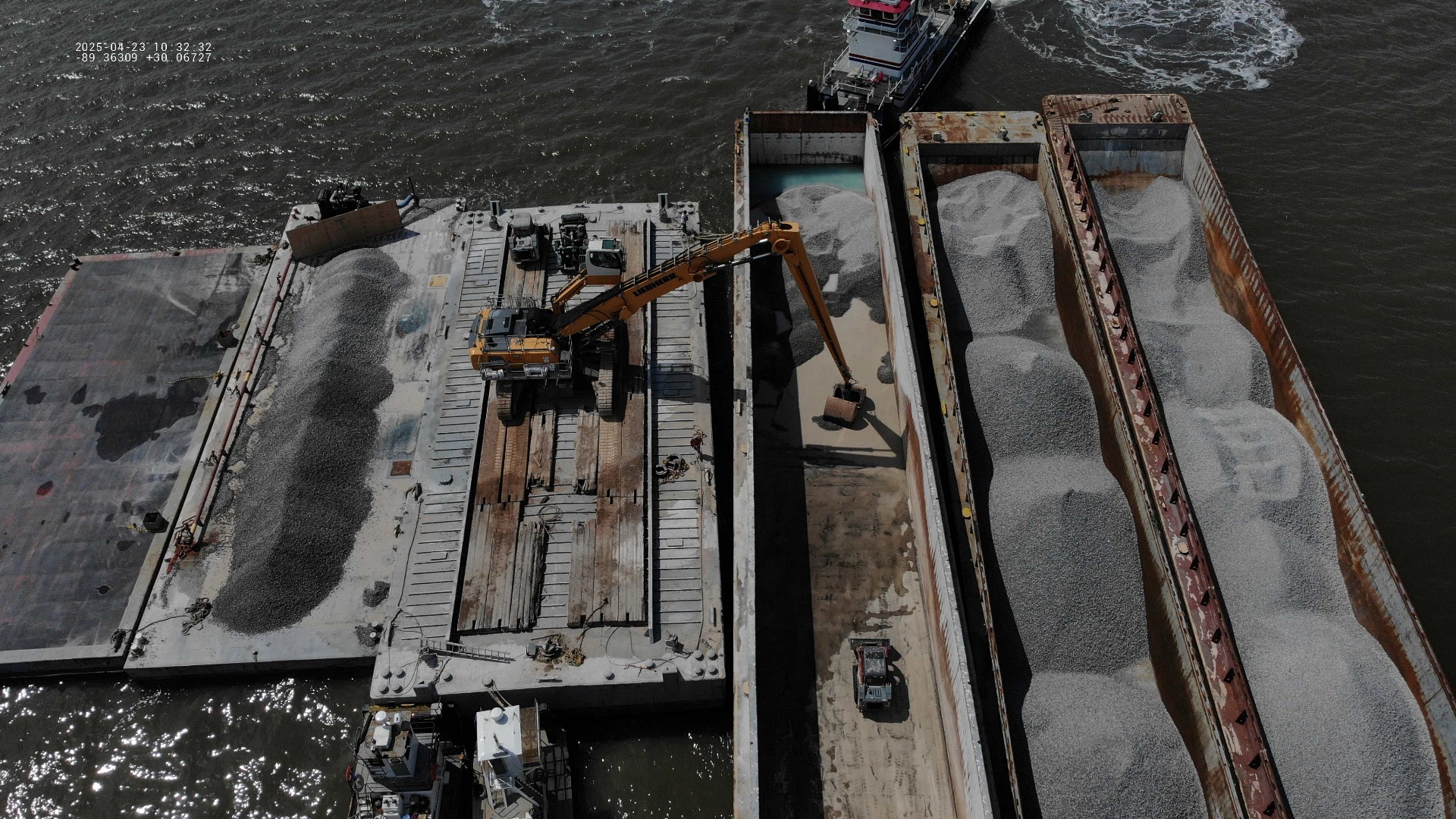
That unfinished picture is already drawing attention globally. Hilcorp Alaska, the largest natural gas producer in Cook Inlet, signed a joint study agreement with Sumitomo Corporation and Kawasaki Kisen Kaisha to investigate aggregating CO2 in Japan, transporting it by tanker to Alaska, and storing it underground. The shipping routes that have long carried energy out of Alaska would carry carbon back in.
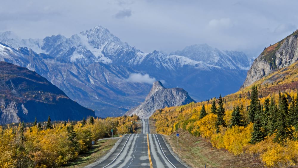
What makes this kind of assessment possible now is a new public mapping hub. The Alaska Department of Natural Resources (DNR) launched the Alaska Carbon Capture, Utilization and Storage (CCUS) Hub in December 2025, with support from a US Department of Energy grant. HDR, a professional services firm specializing in architecture, engineering, and construction services, built the publicly accessible mapping platform on ArcGIS Hub technology. HDR’s deep roots in Alaska’s oil and gas regulatory landscape helped it aggregate the well data, seismic surveys, landownership layers, and permit guidance that had never lived in one place before.
“Everything was spread out on multiple agency and division websites,” said Beat, the hub’s principal investigator. “People had to comb through to find what they were looking for.” Consulting firms called DNR just to find out where to start.
HDR built the hub directly inside DNR’s enterprise geographic information system (GIS) environment. The team added custom layers and contextual pop-ups to focus the data on CCUS opportunities, then connected it to ArcGIS Hub for public delivery. When the work was done, there was no handoff as the hub already lived within the state’s own systems. “The philosophy was to meet data where it was,” said Bridget Brown, HDR’s project manager.
In most oil-producing states, well log data belongs to the producer. In Alaska, it belongs to the people. That public ownership, now organized and searchable in a single interface, makes Alaska a natural proving ground for carbon storage development.
Cook Inlet alone holds an estimated 50 gigatons of carbon dioxide (CO2) storage capacity. Declining reservoirs there and on the North Slope, some producing since the 1950s, are candidates for CO2-enhanced oil recovery. Injecting CO2 increases reservoir pressure and extends production from mature wells, while qualifying for the 45Q federal tax credit, which pays $85 per metric ton of CO2 permanently stored underground. “CO2 would be a good solution for increasing reservoir pressure,” Beat said, “and through time they could transition to pure sequestration.”
The mapped resources are only the beginning.
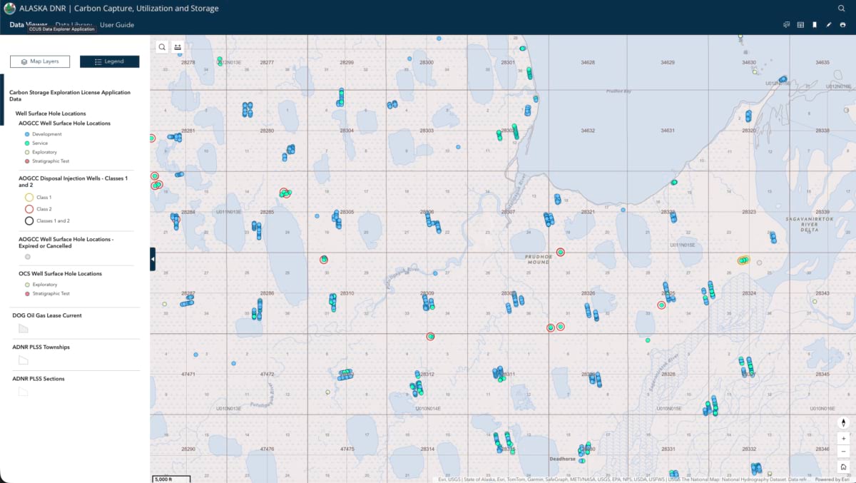
Non-GIS specialists can build their own maps directly in the browser, assembling the spatial data layers most relevant to a storage permit application. “We guide them to the datasets that are needed,” Brown said.
Landownership in Alaska is genuinely complex: Surface and subsurface rights on the same parcel can belong to different entities, with Alaska Native organization, state, and federal holdings interwoven across the map. The hub makes the complexity navigable, identifying who holds what and directing users toward the right conversations.
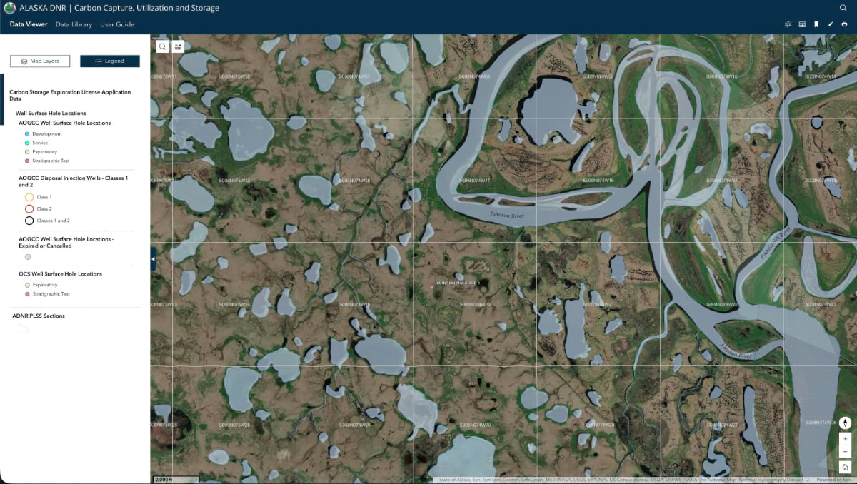
In workshops with DNR, Brown was struck by what staff knew about individual wells, such as details about why specific formations were promising, and observations accumulated over careers. “As they were seeing their ideas come to fruition, they showed us places on the map,” she said. That expertise is now accessible to anyone with a browser.
“We want to be good stewards of our land,” Beat said. “We want to develop our resources. That’s written into our constitution, and so we want to provide transparency of our data and put it in a format that’s easy for users to access.” The well logs, the seismic surveys, the geologic records belong to Alaskans.
The hub opens Alaska to the next energy opportunity for the generations that follow.
See how GIS is powering the next generation of clean energy planning and carbon storage.