

December 2, 2025 |
Christian Carlson | Urban Planning
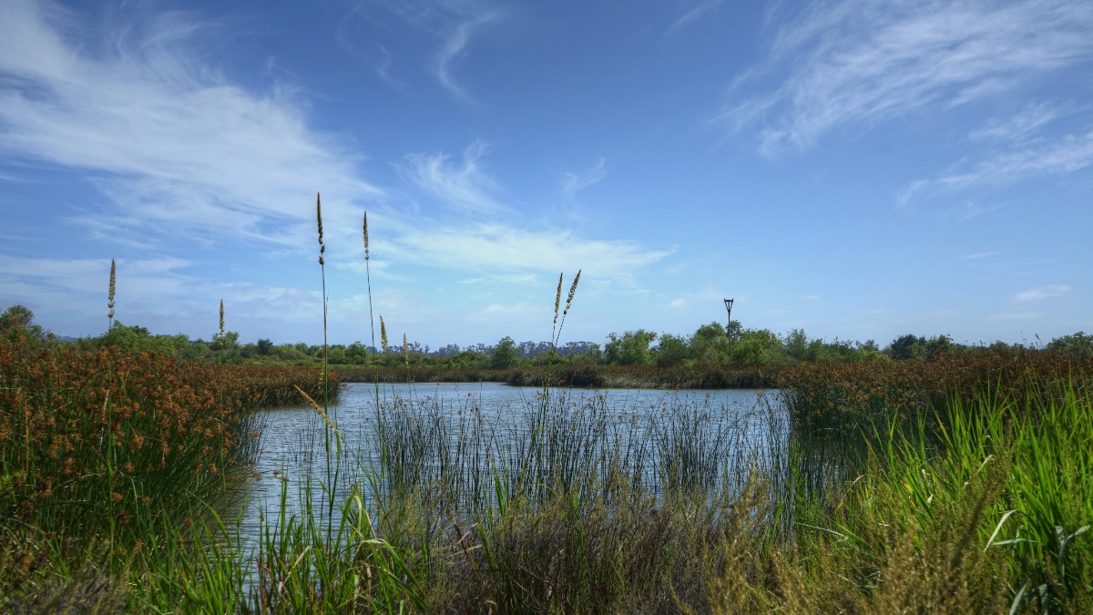
More people than ever are spending time outdoors—at parks and playgrounds, on shores and lakes, and in other natural settings, according to a 2024 report from the Outdoor Industry Association.
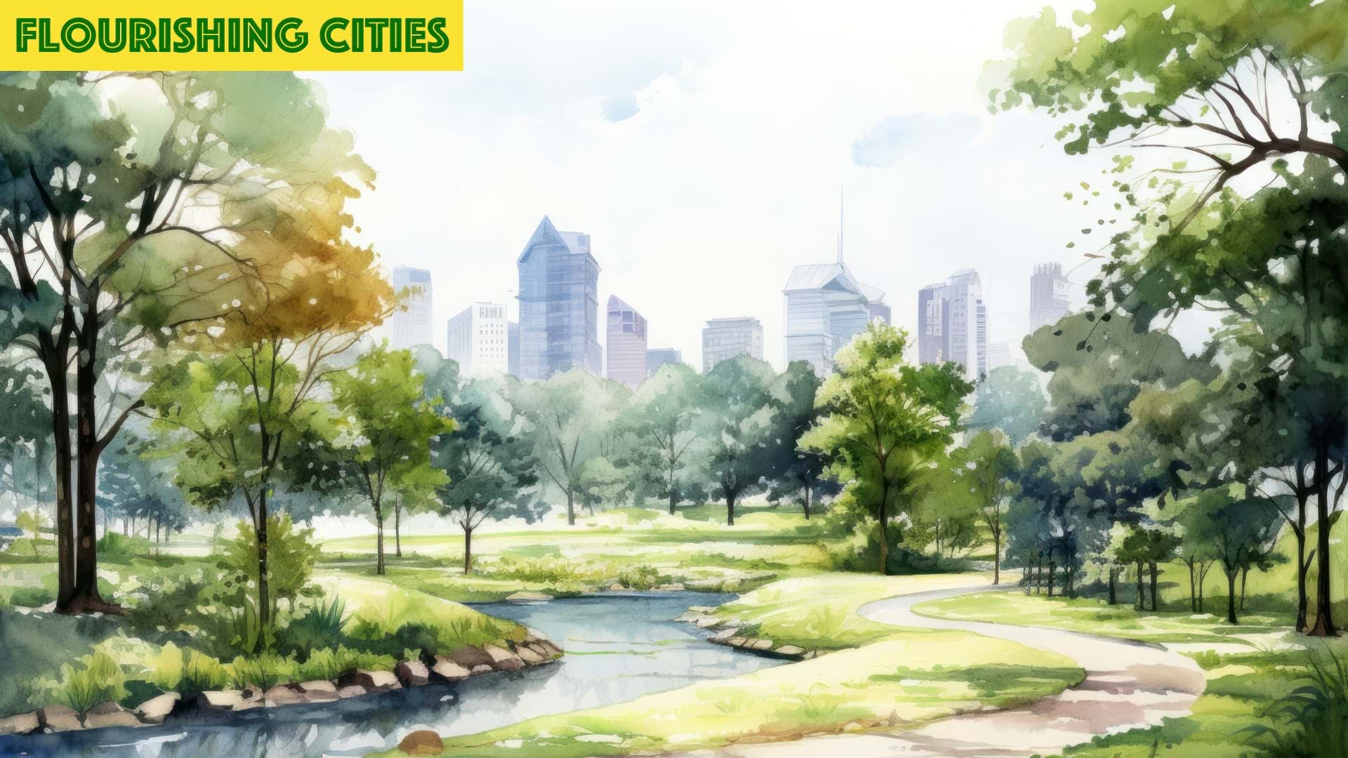
City planners across the US are acting with urgency to preserve more open space and strategically make it available for public use. The work is important because the natural areas in urban settings are shrinking as population growth fuels development.
Yet, urbanization isn’t the enemy of open space. It is, however, a compelling reason to become more creative about how we preserve it, brand it, and use it. We can take inspiration from the bold tactics that are transforming scores of communities—and their economies:
The work is guided by mapping and spatial analysis—capabilities of a geographic information system (GIS) that supports urban planning in communities around the world.
Using the same data-driven GIS tools, the Trust for Public Land (TPL) studied access to open space across the US. Its research determined that about 76 percent of residents in the 100 largest US cities live within a 10-minute walk of a park. That leaves more than 30 million US residents—disproportionately people of color and individuals from economically fragile households—without parks close to home.
With better access to nature, communities have a chance to improve mental and physical health and create more opportunities for social interactions.
“Parks [and green spaces] can make a significant impact on some of the biggest challenges we are facing,” said Will Klein, director of parks research at the Trust for Public Land. “We’re facing a loneliness epidemic, and we’re more divided than ever. Parks are one of these places where people from different backgrounds can come together.”
How does the work to protect and conserve a community’s green space begin? TPL has created libraries of hyperlocal GIS neighborhood maps and spatial data to guide these efforts. Planners can use the interactive maps, which are enriched with community data, to identify gaps in access to green space. That data helps prioritize new investments in land and infrastructure to address gaps.
Through its annual ParkScore ranking of park systems in America’s 100 most populous cities, TPL offers detailed data on park systems based on acreage, access, amenities, investments, and equity.
“ParkScore is a ranking, but it’s also essentially an annual research study on park systems across the biggest cities in this country,” Klein said. “It’s not just about having acres, but it matters where they are located.”
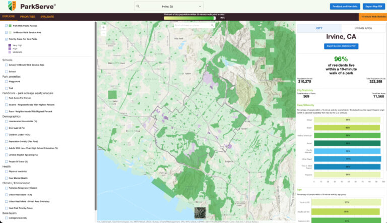
In addition to the top 100 rankings, TPL’s GIS team has mapped and analyzed 150,000 parks in 14,000 cities, towns, and villages. The local maps and data about core features of those parks are available to the public through an online portal called ParkServe.
Larger cities are more likely to have GIS tools to assess their own park systems and plan investments. With ParkServe maps and park data, smaller communities gain access to GIS maps and spatial data for planning and investment.
With these resources, planners have a platform for visualizing and designing open spaces within the city’s existing design. Then they can begin looking for ways to better connect green space to popular destinations and city amenities. With careful planning and policy decisions, cities can make connecting with nature a bigger part of daily life.
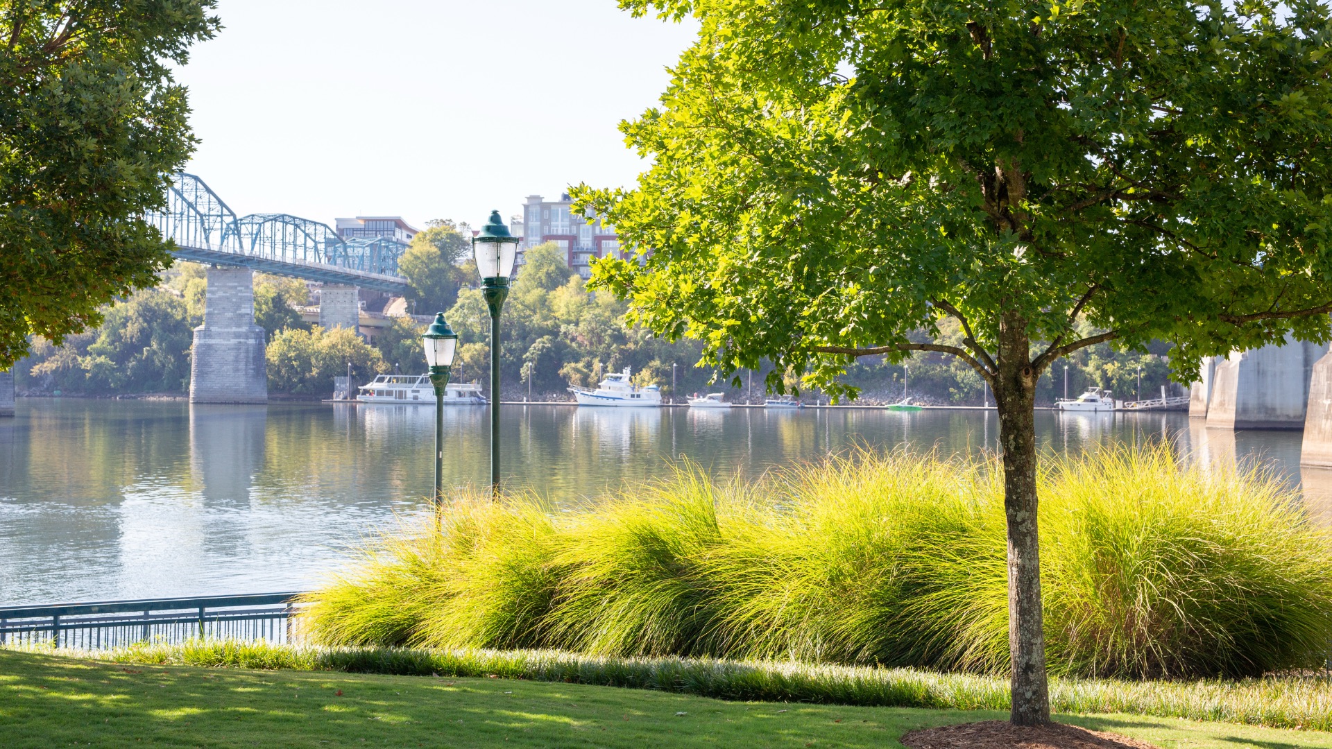
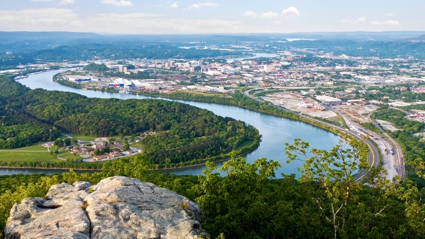
Chattanooga is one of the most ecologically rich places in the world. Yet, smog and air pollution made it better known as America’s dirtiest city in the 1970s.
Residents and city leaders recognized its greater potential. They envisioned a city within a park. Their goal was to make nature the center of community life, as it had been for the region’s Indigenous settlers.
The transformation started with data. Chattanooga’s GIS team identified and mapped every parcel of land the city owned. Spatial analysis helped in finding parcels that could serve multiple purposes—flood management, recreation, and biodiversity protection.
One discovery proved particularly valuable: An orphaned parcel that previously had not been identified as city-owned land emerged as the right site for Walden’s Ridge Park. Construction of the 200-acre outdoor adventure destination’s trails continues. The park is being developed to host activities such as mountain biking, bouldering, trail running, and hiking—all within a 10-minute drive of downtown Chattanooga.
Today, Chattanooga has a much more flattering designation: America’s first National Park City. The National Park City Foundation recognized Chattanooga with this designation in 2025. Cities earn the title by integrating nature into urban design in ways that improve the well-being of people, wildlife, and the environment.
The results extend beyond recreation. Newcomers and tourists are drawn to Chattanooga’s outdoor adventures. Many stay for a lifestyle enriched by activities such as trout fishing, mountain biking, climbing, trail running, hang gliding, bouldering, and swimming. This outdoor economy has become a magnet for talent and investment.
Equally significant, the city’s work to preserve green space has made it easier to push commercial development to strategic areas. Downtown is one of those places, and activity there is expanding Chattanooga’s economy.
“We’ve had over 1,000 people making $100,000 a year move here recently, which would be the biggest economic news in 20 years if they were all from one company,” said Mayor Tim Kelly. “But they’re on this long tail—we don’t know who they are, there’s no club, no ID. I can’t go to one CEO and get them all. They’re just here because of all these natural assets we offer.”
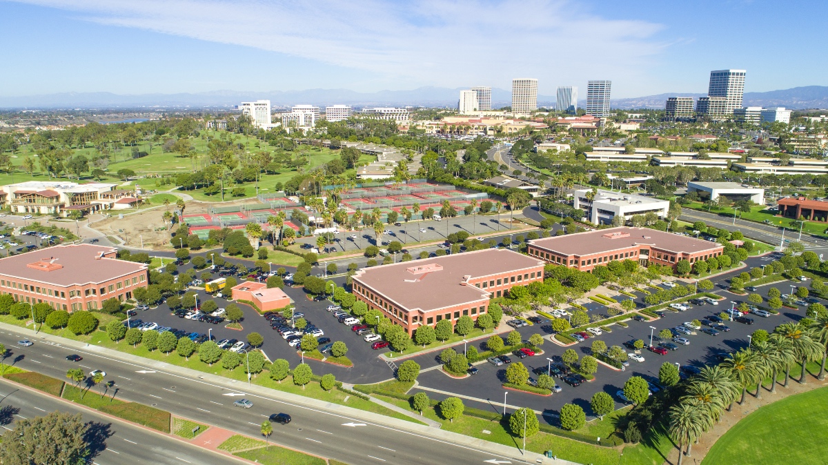
Irvine comes second in the Trust for Public Land’s 2025 ParkScore research, which ranks park systems in the nation’s 100 most populous cities. The city climbed from fourth place in 2024 and seventh in 2020.
But that’s not good enough for the city’s leaders. They want to go to the top.
Why is leading the nation in the ParkScore rankings so important? Because the ranking amplifies Irvine’s story—a testament to more than 60 years of nature-focused planning and development.
“It’s a good, accurate depiction of who we are as a city—one that values green space, recreation, and leisure activity,” said Kevin Bodrogi, a senior GIS analyst in Irvine.
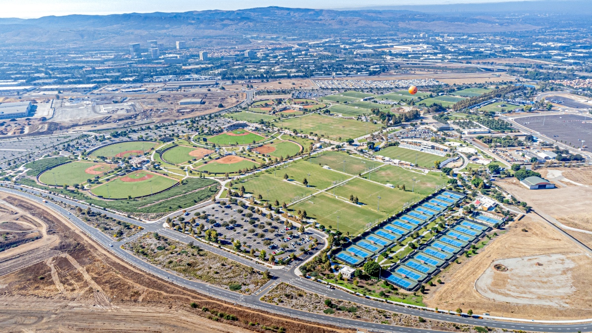
Irvine is a master-planned community comprising 22 villages, each with its own architectural style, schools, and parks. Having records on even the most minute details about each park facility helps the city’s GIS team give ParkScore officials a precise representation of Irvine’s parks and their amenities.
The city’s approach is methodical and comprehensive. Crews capture images and other details about the park system while they are doing work at each site. Other departments can contribute to the database or draw information from it to aid in their work. This integrated approach ensures intentionality—from the number of benches to the types of trees planted in each location.
“It’s not just an afterthought,” Bodrogi said. “There is a concerted effort in Irvine to be number one, and there is a concerted, citywide effort to achieve that.”
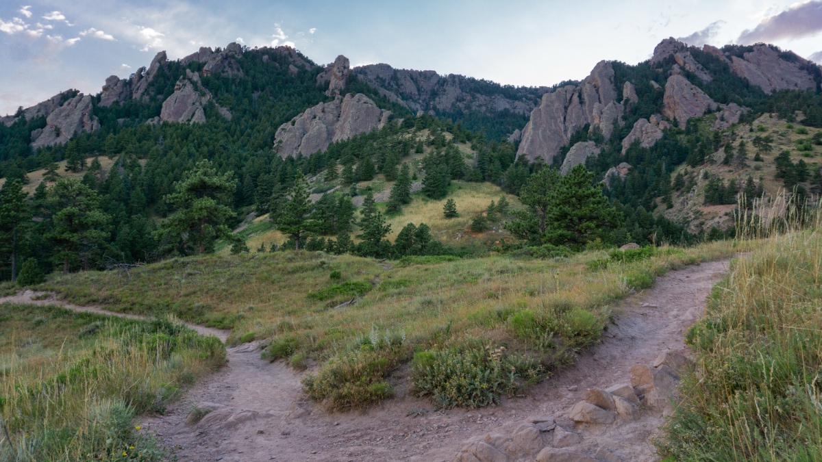
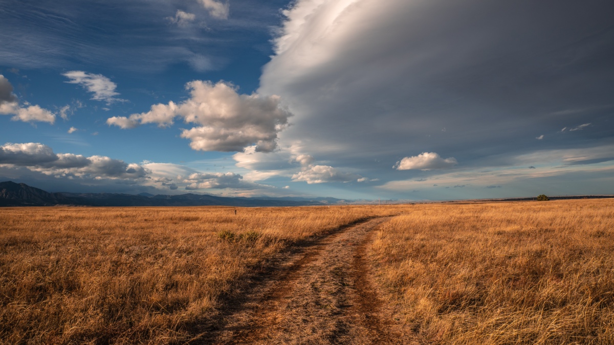
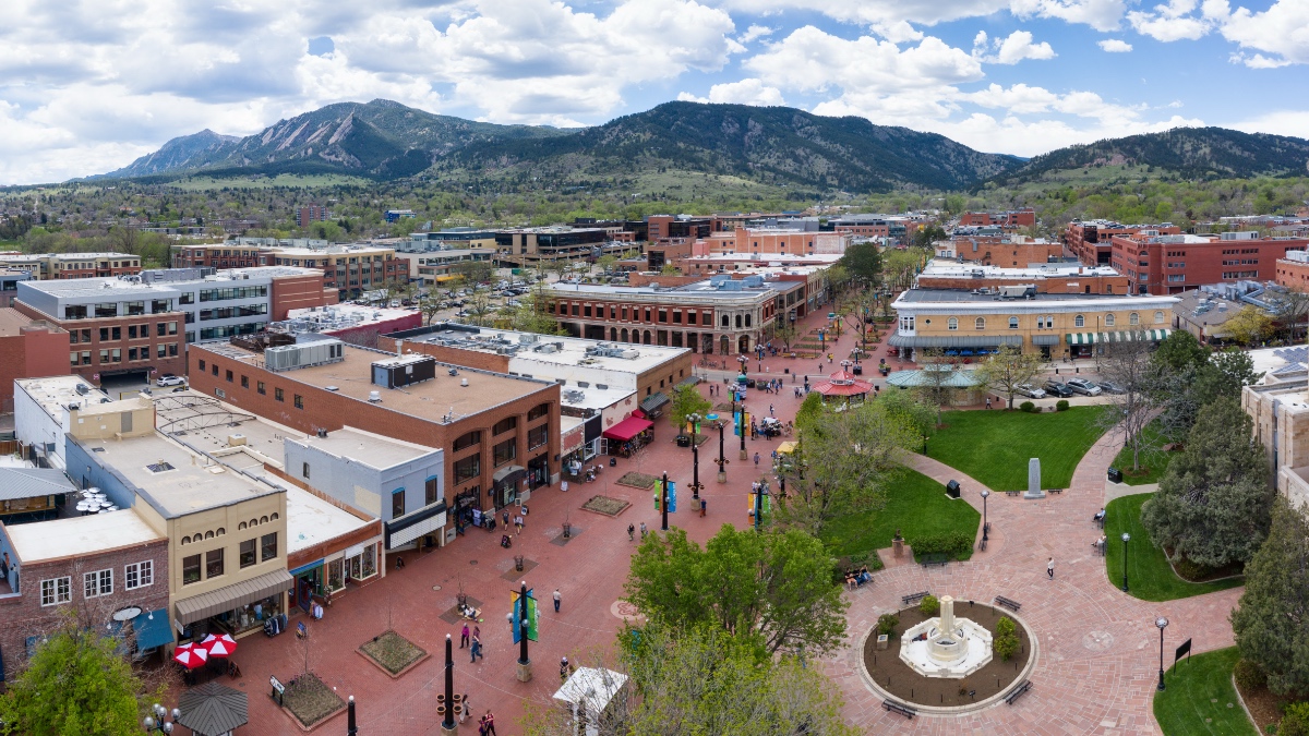
In many communities, refinements to land-use policies are as important as preservation of green space. Boulder, Colorado, stands out for its pioneering approach to city planning and conservation. Earlier this year, the county in Colorado celebrated 50 years of formal open space planning and preservation.
The city of Boulder was the first in the nation to pass a tax to preserve a greenbelt, laying the groundwork for decades of conservation. The greenbelt now serves multiple purposes—attracting residents and businesses, fostering social connections, and guiding growth in ways that protect ecosystems and enrich the city’s unique sense of place.
Local officials adopted the Boulder County Comprehensive Plan in 1978, which pushed development to cities and towns and away from rural areas. That strategy protects agricultural lands and prioritizes environmental and natural resources in land-use decisions.
The county’s open space sales and use tax, approved by voters in 1993, provided 0.25 percent for 15 years between 1994 and 2009. Voters approved extending or increasing the tax eight times. The funds allowed the county to increase conserved lands from about 3,500 acres in 1993 to more than 107,000 acres in 2025.
Mapping and spatial analysis are an integral part of protecting, expanding, and designating uses for green space in Boulder County, as well as sharing information with the public. It also helps to ensure equitable access to green spaces in urban development.
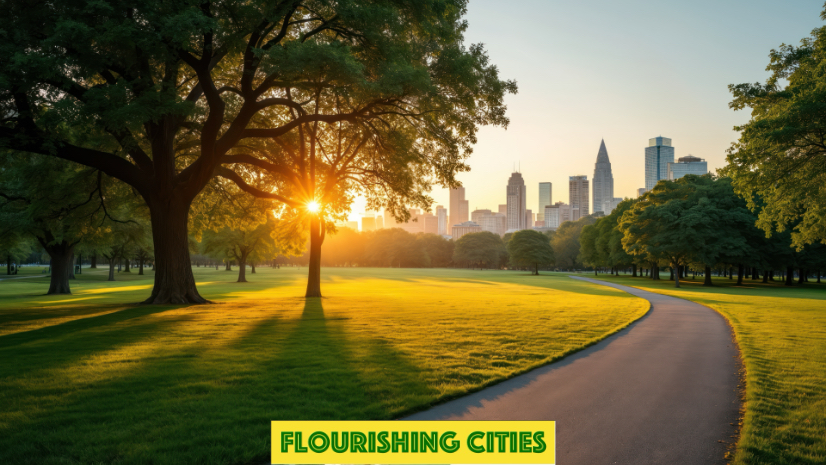
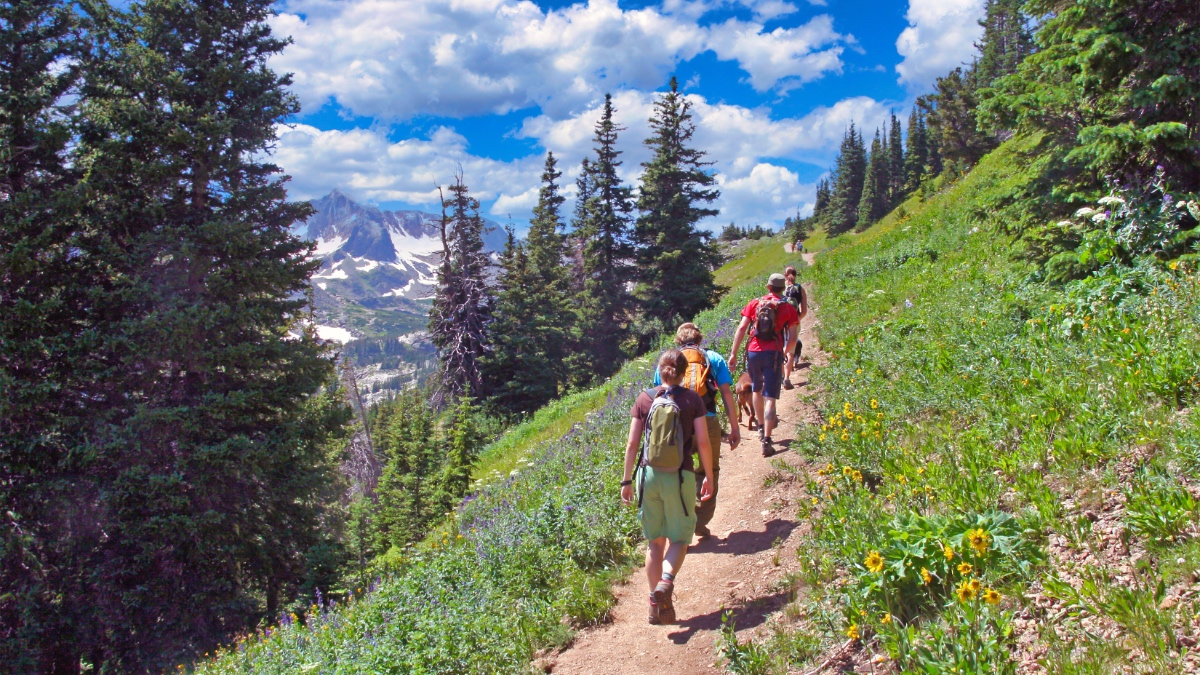
Across the US, innovative urban design is helping communities draw closer to nature. In some places, communities are redefining who they are—more active, health-conscious, social, and economically vibrant and resilient. They see green infrastructure as more than landscaping. It is essential to community well-being. And with the right strategy, it becomes a competitive advantage.