April 30, 2026 |
Dr. Dawn Wright | Mapping
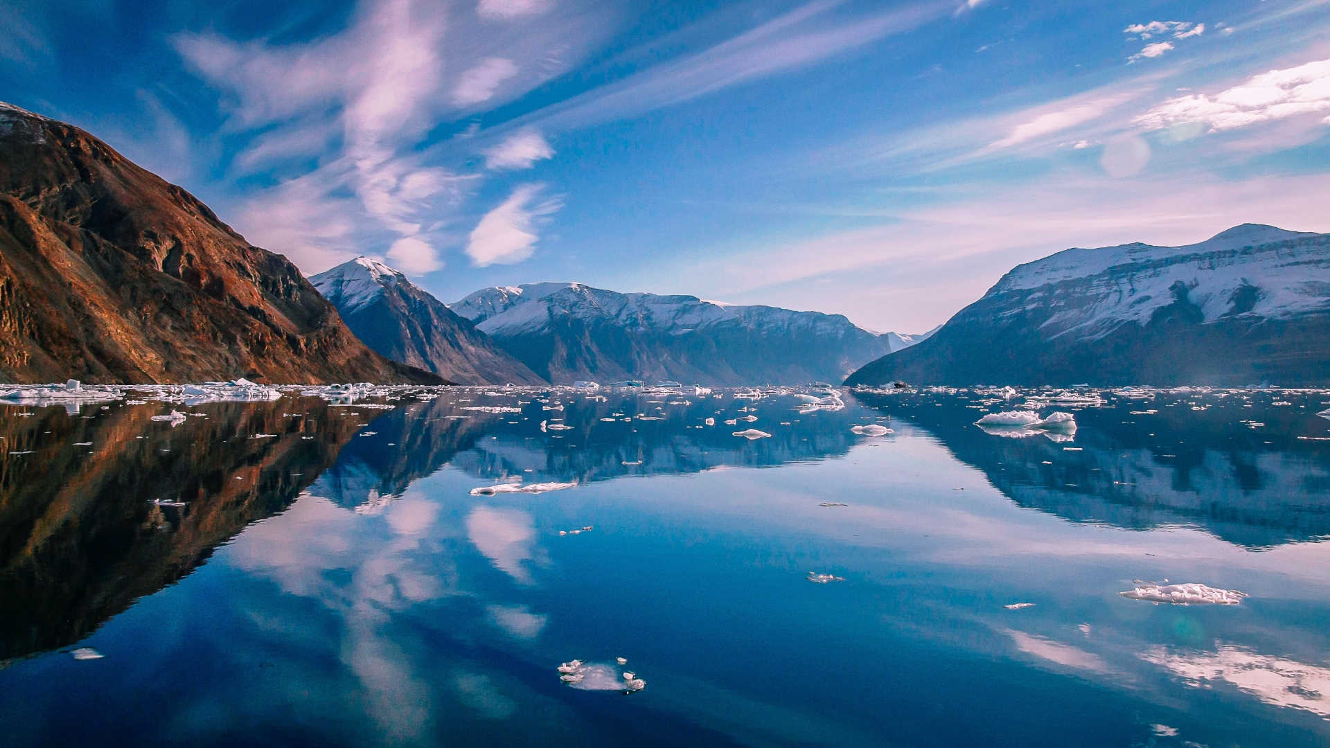
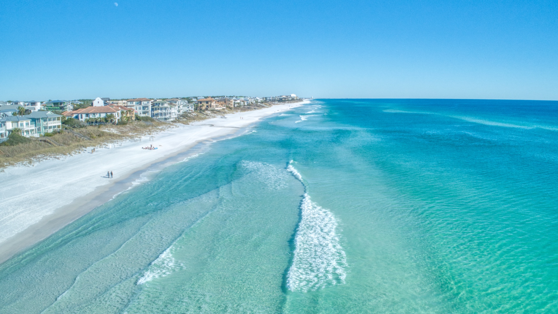
The Pacific Ocean is larger than all of Earth’s landmasses combined—a fact that still somehow undersells it. The world’s largest and deepest ocean, the Pacific covers a third of our planet’s surface, yet most of it remains a biological enigma.
But what if unlocking its mysteries didn’t require a research vessel?
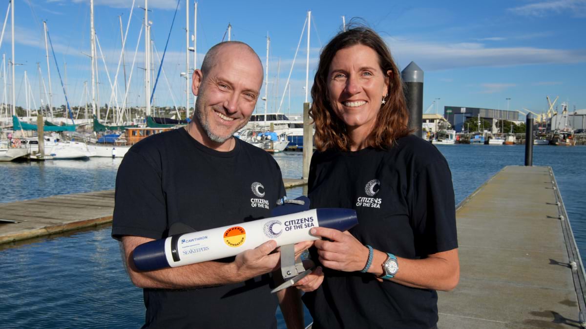
That’s the vision driving Citizens of the Sea, an Aotearoa New Zealand–based charitable trust. Formed through a partnership between the Cawthron Institute and New Zealand Geographic magazine, Citizens of the Sea was built around an idea: If seafarers are already out there, we could ask them to gather scientific data.
“To address ocean health you need to start mapping ocean biodiversity at very large scale,” said Erin Bomati, Citizens of the Sea’s Field Operations Lead. “Research vessels do an excellent job of that, but they’re extremely expensive.”
New Zealand’s research vessel, the Tangaroa, costs approximately $50,000 per day to operate. A two-week expedition yields data points across a single transect. Precise, yes, but difficult to replicate across the vastness of the Pacific Ocean.
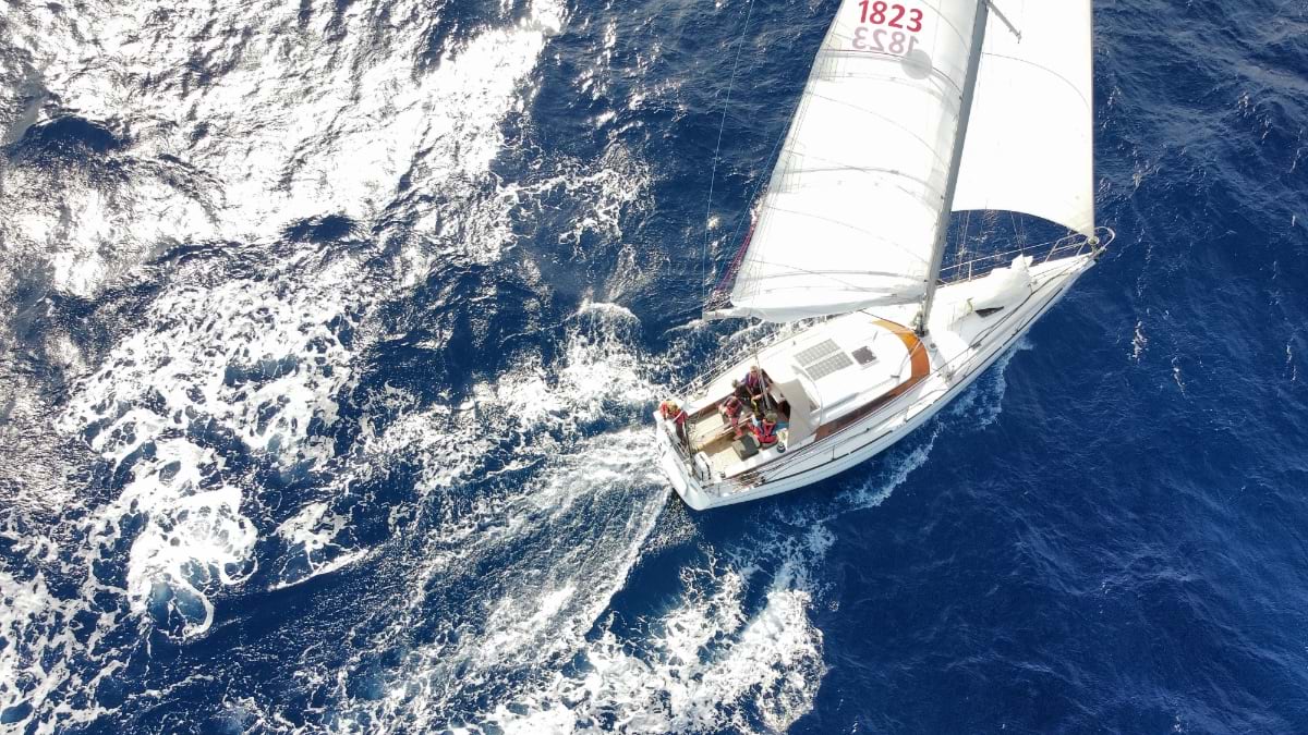
So, Citizens of the Sea calls on community scientists to collect data while they cruise. The work requires no specialized training and is designed to not interfere with their journey.
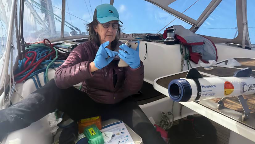
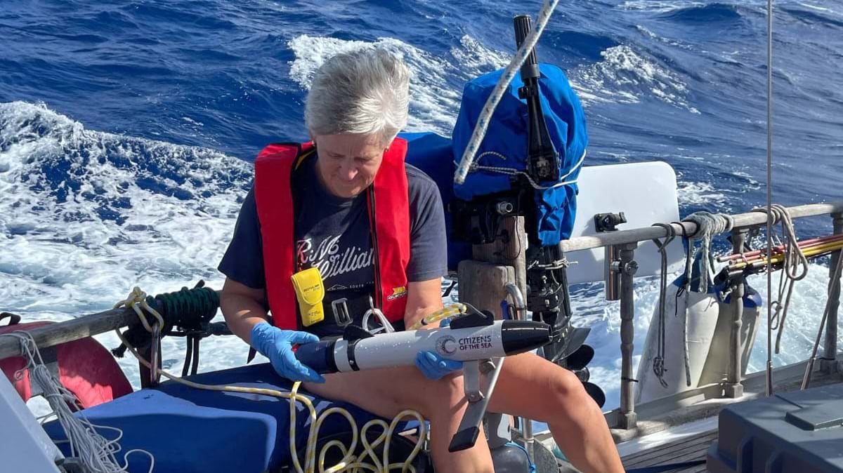
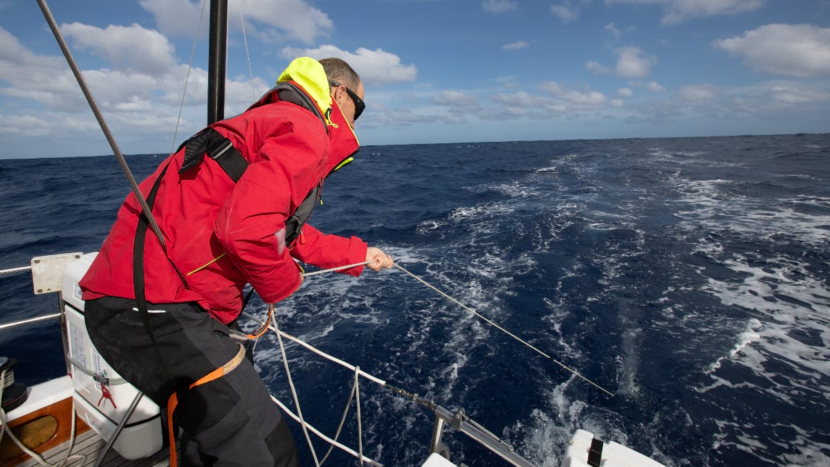
Seafarers volunteering with Citizens of the Sea tow a small torpedo-shaped device called the TorpeDNA off the stern of their boats. The device dives to about two meters below the surface, where water flows through a membrane filter. Each tiny filter collects traces of creatures that passed through that patch of ocean—fish, plankton, bacteria, everything in between. This is environmental DNA (eDNA), genetic material every living organism sheds into the water around it—invisible to the eye but readable by science.
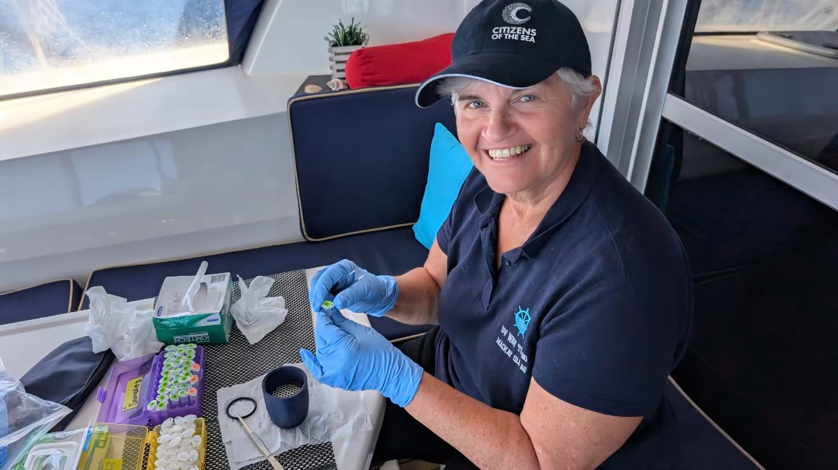
Volunteers must retrieve the TorpeDNA, remove the filter paper with sterilized tweezers and seal it in a preservation tube. They repeat the process once a day in triplicate. Samples are stored in the boat’s refrigerator until port, then shipped to partner laboratories in Australia and New Zealand, where molecular biologists extract, amplify, and sequence the DNA. The results are compared against reference libraries of known species to map which creatures live where.
The program separates the collection work from the analysis work, which means a sailor with no scientific training can generate rigorous research-quality data.
“This isn’t casual hobbyist science,” Bomati said. “It’s research designed for peer-reviewed publication, made possible by people who love the ocean.”
Citizens of the Sea operates with careful attention to borders, both political and ethical, securing permits from every nation to collect samples within each exclusive economic zone. The samples belong to those governments, not to Citizens of the Sea, and, upon government approval, the data gets shared to a public repository to maximize benefit-sharing.
Coastal sampling is left entirely to local scientific communities. Citizens of the Sea focuses on the offshore corridors between nations.
Collecting samples in the middle of the Pacific is only half the challenge. The other half is knowing exactly where the data was captured and keeping that information permanently attached to the sample.
A TorpeDNA result without precise location data is like a photograph without context—interesting, but not actionable. To build a true picture of how biodiversity shifts across ocean corridors, every sample needs to be anchored in space and time.
That’s why Citizens of the Sea built its workflow around geographic information system (GIS) technology, which handles georeferencing automatically at the moment of collection. Scanning a bar code on each TorpeDNA device adds GPS coordinates, boat speed, time, and date.
“Being able to scan a barcode and have location, metadata, and everything automatically captured in a database that I can monitor from home is invaluable for rigorous data collection at sea,” Bomati said.
The metadata captures location as well as observational notes. In one case, scientists flagged an anomaly—unexpectedly high concentration of yellowfin tuna DNA. The metadata explained it immediately: the sailor had caught a large yellowfin between tests, and its DNA had flooded the surrounding water. The observational records help add context to the data and helps scientists explore the cross-correlation between observations and eDNA detections.
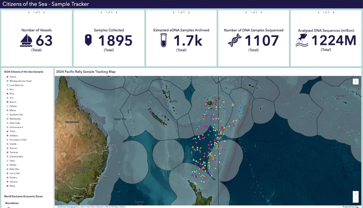
The value of this work accumulates over time. Each sailor samples the same corridor twice annually and patterns of change become visible. That data is accessible to researchers, conservationists, and policymakers who can then see how species change with temperature, currents, and ocean acidification.
“The vision is a spatiotemporal map of biodiversity,” Bomati explains. “The ultimate goal is to link that to an index of ocean health. Where, if you take a water sample, you could start to see whether an area is thriving with biodiversity or showing signs of stress.”
Citizens of the Sea currently operates across New Zealand, Tonga, Fiji, New Caledonia, and Australia with plans to expand to French Polynesia in 2027 and onward toward the Americas. Wherever cruising routes exist, the model can follow.
During the 2024 Vendée Globe race, solo sailor Fabrice Amédeo demonstrated how far that model could reach, collecting eDNA across roughly 80 days and 24,000 miles of open ocean.
A 2026 Vendée Globe Foundation Award followed and, with it, funding to develop next-generation tools and to expand the program to multiple vessels in the race.
Most of what lives in the Pacific will never be seen by human eyes. It exists in the dark, deep, vast unknown. But every lifeform leaves something behind—dissolved into the current, drifting past the hulls of boats. The community scientists collecting those traces are assembling, sample by sample, a biological record of the Pacific that the world has never seen.
Explore Citizens of the Sea’s sample tracking dashboard, created by volunteer Aoife Swinney, and find biodiversity data in Esri’s ArcGIS Living Atlas of the World.