

January 13, 2026 |
John Beck | Public Safety
When Giuseppe (Pino) Nobile joined the North Atlantic Treaty Organization (NATO) HQ as the head of Geo and Space Services more than 20 years ago, he faced a heavy lift: to create a common operating picture across 32 member nations.
Different departments were using different systems with data spread across different networks. Maps seemed the most advantageous medium for a unified view, but at that time maps were made ad hoc upon request. Actionable geospatial intelligence was difficult to produce.
“There was a general perception of Geo and Space Services, that we were a team like the graphics studio,” Nobile said. “Other departments would come to us because we would give them a map. They thought, ‘Those guys just do maps.’”
But Nobile wanted to show them geographic information system (GIS) technology was more than a map builder. His vision was to unify scattered data for shared understanding and deliver a level of geospatial insight leaders couldn’t ignore.
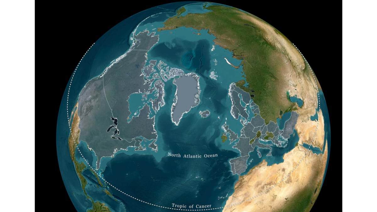
In his first years at NATO, Nobile developed several GIS products such as web apps to connect more staff to spatial data. People were using the apps and requesting support, but the insights didn’t always reach decision-making processes.
The turning point came in October 2011, during Operation Unified Protector—NATO’s campaign in the Libyan Civil War. Nobile spent a full day embedded with intelligence analysts, watching how they prepared daily morning briefings. He took careful notes, not about the operation but on the process behind it. He was there to listen and learn how he could support decision making.
Which data elements stayed the same from one briefing to the next? Which ones changed by the hour? Where were the bottlenecks?
“I was trying to understand the repetitive tasks,” he said, “and how I could bring in a different approach.”
What he found was that the team, working 24/7, was manually pulling data from different sources. And because active operations never stop, the process repeated itself around the clock. He saw an opportunity to introduce automations that could help the team work faster. He had already been implementing scripts in his own department out of budget necessity, and now he saw how the same automations could serve the intelligence team.
The lesson he took away had as much to do with people as with technology.
“The most important element, if I look back, is partnership,” Nobile said. “Those analysts were the experts in intel. They didn’t need to be IT or GIS experts. But when you all work together, it brings extremely powerful outcomes.”
Back at NATO HQ, Nobile developed a prototype GIS application that would serve future missions. Within three months, he returned to the intelligence analysts with a web-based solution to replace their nightly manual mapmaking process—automating static base layers while continuously updating dynamic data on top. The morning briefing packet, in essence, would build itself.
“We thought you would come back to us in three or four years,” they told him. “You came back after three months?”
What Nobile delivered was more than a faster workflow. He demonstrated that Geo and Space Services was not a print shop—it was a strategic partner that could transform how the organization worked. Word traveled, and other departments started paying attention.
Reaching senior leaders, though, required a different kind of effort. He needed to show—not tell—the potential of GIS technology.
Nobile knew he needed visuals to help leadership imagine a future state. So he made a personal rule: No briefing, no kick-off meeting, and no conversation with leadership would happen without something to show. “Nine times out of 10, I had visuals—even if we had to craft a mock-up right beforehand,” he said.
He opened presentations with headlines designed to spark curiosity. He showed colorful, concrete applications before getting into detail. Over time, that approach changed how senior leaders saw Geo and Space Services. The doors it opened came with funding, resources, and a place supporting decisions that had never included his team.
“I needed to communicate the power and value of investing in GIS,” Nobile said of the approach. “By bringing them in with visual storytelling, they started to believe in what’s possible.”
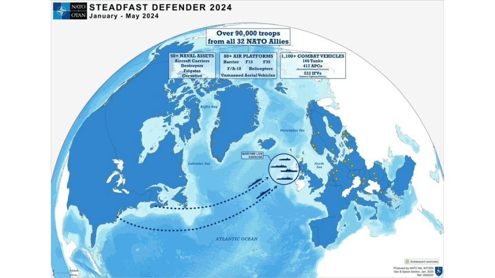
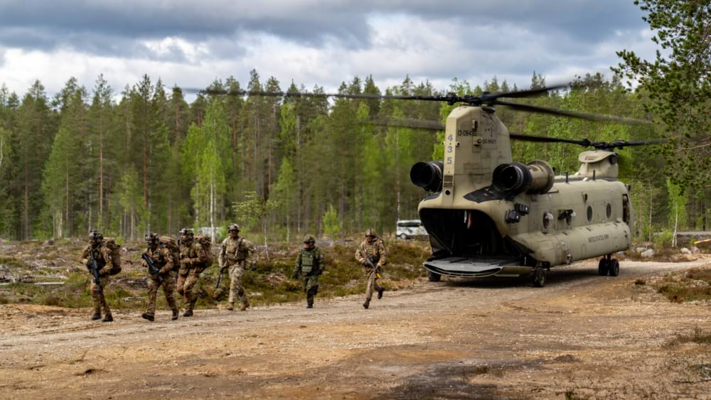
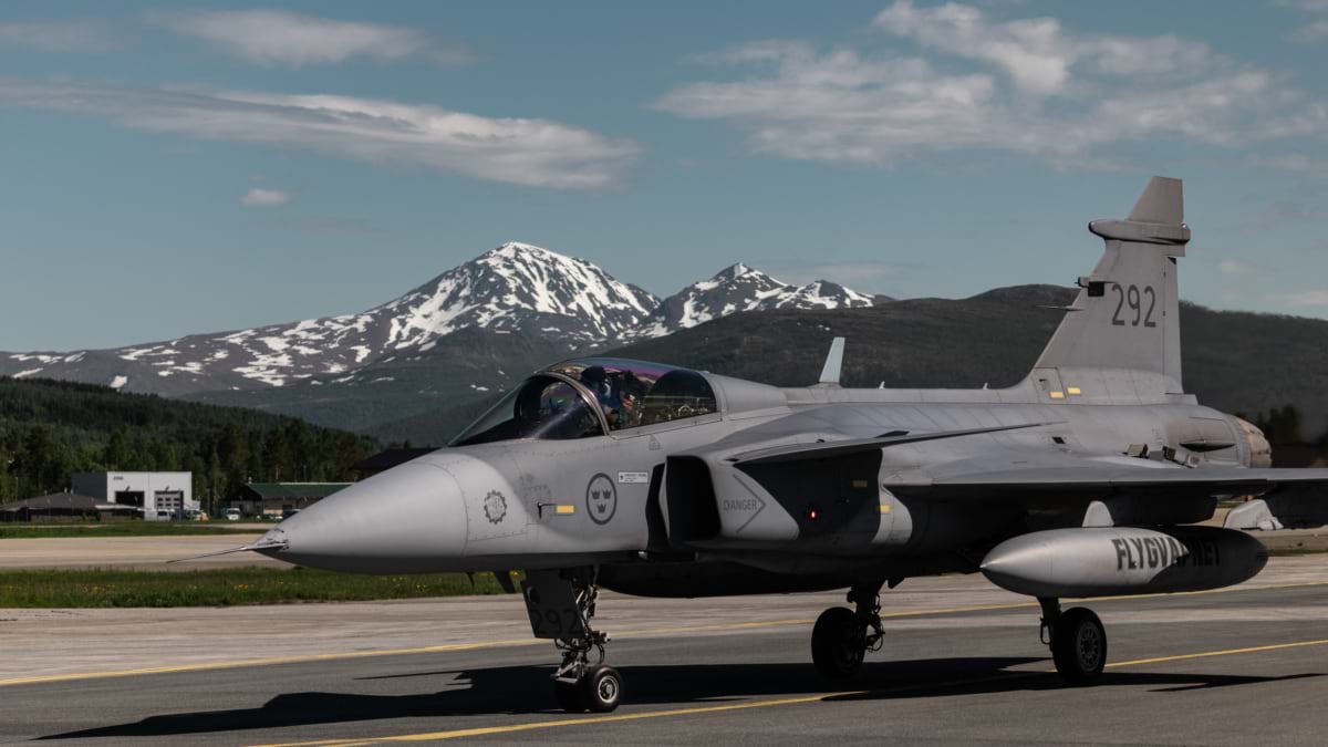
Those same maps fuel missions across land, air, and sea, ranging from fighter jets and troop transports to naval patrols throughout the alliance.
Getting leadership buy-in was only part of the challenge. For GIS to truly serve the alliance, the analysts, planners, facility managers, and security teams needed to understand its power.
Nobile created Geo Discovery Day: a half-day program, held twice a year, that introduces every incoming NATO intern to geospatial concepts. “Investing in the next generation helped grow leaders who would think differently,” he said. “They were taught to think spatially.”
Mihaela Sorostinean, who joined NATO HQ 10 years ago as a GIS developer, is now a GIS project manager, overseeing some of the organization’s most complex geospatial intelligence initiatives. She credits Nobile for building a strong sense of purpose. “He strives to keep everyone engaged and motivated to solve spatial problems,” she said. “He’s created a culture of collaboration for the greater good.”
Nobile’s team designed custom training for staff using GIS-based applications and built tools intuitive enough to use without a manual. “If you design something clear and well thought-out, even if it’s complex, people shouldn’t need much training,” he said. “They should just be able to use it.”
NATO HQ partnered with Esri Professional Services early in Nobile’s tenure. The collaboration has led to a geospatial strategy that connects NATO’s GIS investments to organization-wide goals. It’s given Nobile’s team something critical: the ability to plan proactively rather than react to problems.
“Esri helped us identify foundational challenges that could have interfered with our work down the road,” Nobile said. “They gave us the right guidance on architecture, on planning, on what our systems should look like to be prepared for what was coming.”
That foresight paid off when it mattered most. During the COVID-19 pandemic, Nobile’s team deployed real-time GIS dashboards to help NATO member states share resources. When an earthquake struck Turkey, NATO’s secretary general boarded a helicopter carrying maps produced by Geo and Space Services. Those maps existed because the systems behind them had been built to be ready—not assembled in a crisis. “GIS powers all of these programs, whether it’s security, energy, infrastructure, or crisis response,” Nobile said. “If you can map it, you can act on it.”

Nobile has grown Geo and Space Services from a staff of three to nearly 20. Today, they help provide security for diplomats from NATO’s 32 member states, coordinate responses to global emergencies, and protect UNESCO sites around the world.
“GIS should be everywhere and in everything,” Nobile said. As he has proved, that requires the patience to build spatial literacy from the ground up and the courage to deliver new solutions.
Maps are now everywhere at NATO. The only question is who’s willing to make decisions without one.
Learn how defense organizations apply GIS to take quick and decisive action.