
April 11, 2019 |
Mike Cox | Public Safety
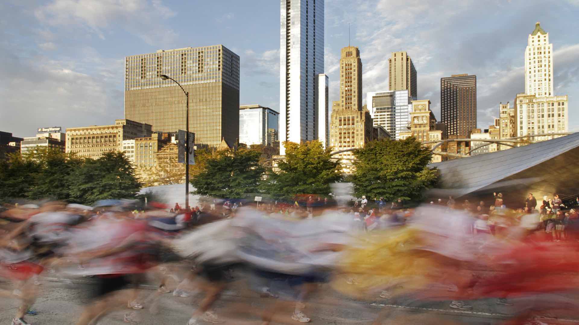
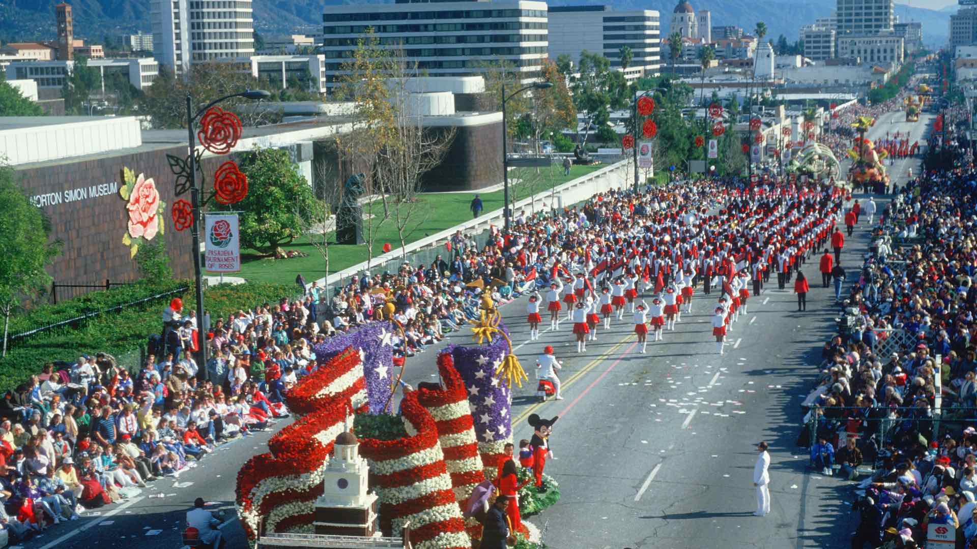
Public special events are the heart and soul of any community. While essential to the social fabric and economy of their regions, these events today require a level of operational intelligence that grows more complex by the day.
In preparation, public safety leaders face distinctive logistic challenges which require intense behind-the-scenes planning of every imaginable facet, including crowd control, traffic congestion, sanitary facilities, first aid, and more. The sheer size of events today mandates a large physical space to accommodate crowds of thousands. Risk factors and contingency plans range from the dramatic (terrorist threats) to the mundane (weather conditions).
To assure public safety, operational decision-makers need a solid safety operations plan and a system to provide situational awareness. Typically, the web of local, regional, and federal managers who collaborate for event safety use location technology, often a geographic information system (GIS), to plan and communicate in real time.
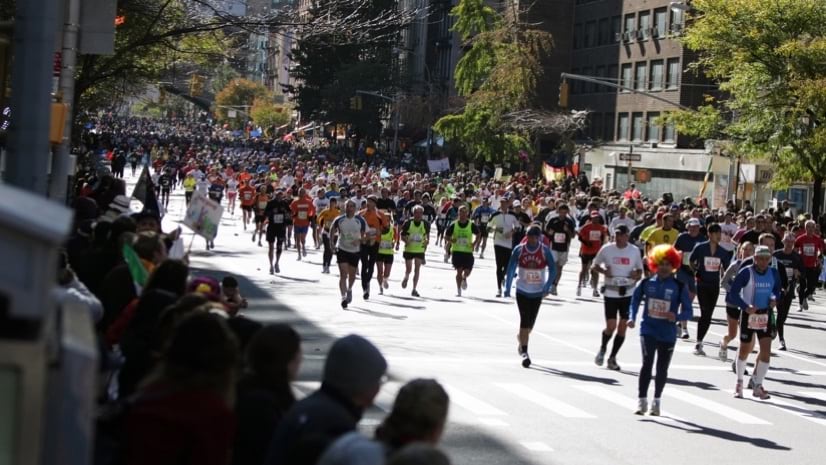
In cities around the globe, residents acknowledge and celebrate a shared history and heritage. New York City is a prime example with large-scale parades and celebrations that require rigorous planning and execution. The quintessential multicultural metropolis, the city hosts the largest St. Patrick’s Day, Puerto Rican, and Pride Parades in the US. New York’s West Indian Day Parade is believed by many to be America’s largest ethnic-heritage celebration of all. Held on Labor Day, it encompasses one of Brooklyn’s most heavily traveled thoroughfares and attracts up to three million participants.

These events, while an essential facet of the city’s vibrant and diverse character, require much more than a standard level of permitting and planning. Public safety leaders plan and deploy staff for crowd safety, transportation officials plan bus and subway re-routing and anticipate road congestion, and the Fire Department and Department of Health monitor permits for street vendors and prepare for the inevitable injuries and accidents that come with any gathering of thousands to millions of people.
Although the basic structure underlying plans for each annual event already exists, each reoccurrence presents its own challenges, many of which can’t be discovered until the event is already underway. In this way, location technology has proven essential, providing real-time awareness for managing critical incidents and empowering involved staff and agencies to act as one.
The work of managing special events starts with an understanding and mapping the area of operation to define and protect vulnerable spaces. A modern geographic information system is the backbone for event operational intelligence because it supports collecting, integrating, and visualizing foundational data about the event’s location. Event information can be mapped and monitored along with live data such as weather, traffic, field reports, and health and safety incidents.
With a system that connects all stakeholders, officials on the ground can rely on shared maps and rapid communication to collaborate and make quick changes as events unfold.
People participate in parades to celebrate the diversity of their communities, and they participate in protests to defend it. From New York City’s Silent Protests parade of 1917, in which 10,000 participants gathered peacefully to protest racial violence and hostility, to the Peace March of 1967 when up to 400,000 demonstrators assembled to speak against US involvement in the Vietnam War, to the 750,000-strong Anti-Nuclear March of 1982, New York has been the epicenter of activism. These demonstrations and protests reflect the entire nation’s shifting priorities and often precede meaningful change.
A powerful example were the recent racial justice demonstrations in the aftermath of the death of George Floyd in 2020. Up to 26 million people participated in cities across the US—the largest participation rate of any movement in the nation’s history—again with New York City at the center.
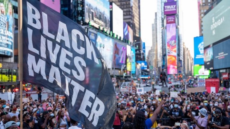
In the public’s mind, protests may seem to simply spring up, a spontaneous expression of tensions within the community. In reality, most protests require as much planning and management as any other event. While some of the initial incidents protesting the death of George Floyd were immediate and unplanned, the vast majority were peaceful, planned events, with cooperation between event coordinators and city officials.
Protests share some of the same operational challenges as other public events, like parades and festivals, but with additional considerations. Given the emotional intensity, potential for conflict can increase, making operational intelligence even more crucial to ensure a safe experience for everyone.
Officials preparing for protests require not only a high degree of situational awareness, but a special focus on defining areas of interest and potential conflict, mapping tactical resource assignments, and the real-time flow of information between teams and individuals. Modern GIS technology can provide this, even in disconnected environments or areas with poor bandwidth, giving operations managers the ability to visualize where safety personnel are during a protest and coordinate their movements quickly in case of unexpected incidents.
Planners and public safety agencies can use GIS-enabled event management as a toolset to protect personnel, participants and the public during a parade, festival, or protest. The tools can help develop health and safety plans, create event site maps, manage event assignments and incidents, monitor operations in real-time, and create after-action reports for future planning. And they can build this work on the crucial foundation of a geographic context.
For operations officials, GIS also meets their needs for real-time management—to monitor current conditions; make better decisions about the allocation of resources, assets, and people; and respond to dynamic demands as events unfold.
Increasing volumes of sensor inputs, and data collected via mobile devices and drones, inform public safety operations today. A geographic information system provides data fusion, a place to aggregate and query this information in pace with changing conditions. It also provides a repository of details from the past used to make predictions so public safety and event planning staff can be more proactive rather than reactive.
Celebrations, parades, protests, and other large-scale public events are living, breathing entities that reflect the personality, vibrancy, and values of a city. Location intelligence from GIS helps public safety personnel ensure safety for event participants and other residents who are just going about their daily routines, while enabling a safe space to let voices and cultural expressions be heard and celebrated.
Learn more about how cities can plan and carry out events using operational intelligence.