May 5, 2026 |
Anthony Schultz | Public Safety
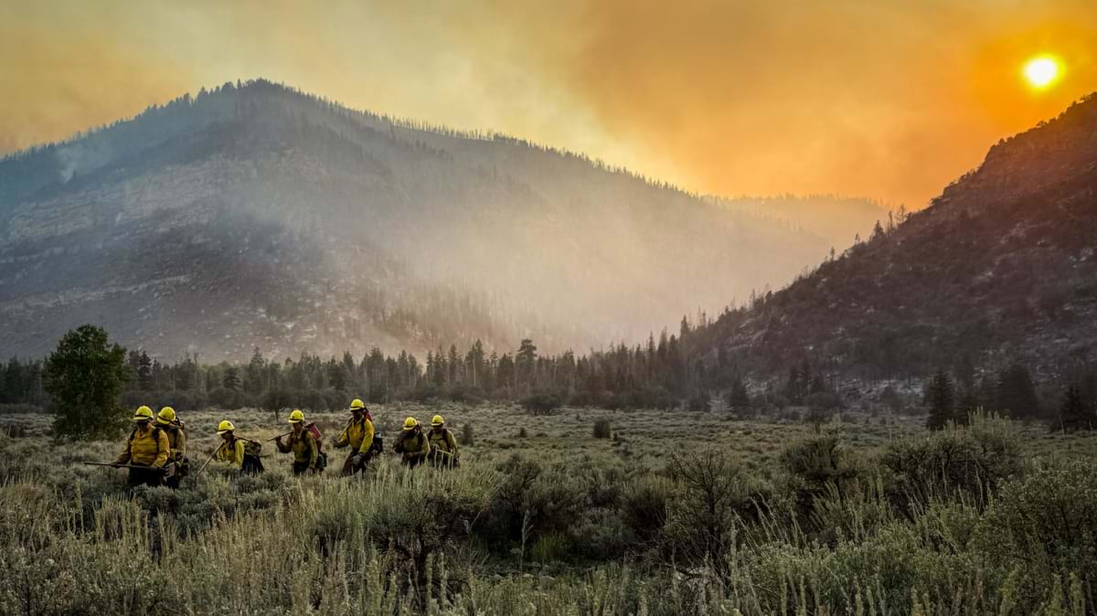
A new organization has come together within the US Department of the Interior: Four separate wildland fire programs have merged to bring a sharper focus on wildfire mitigation and response. The US Wildland Fire Service (USWFS) combines the wildland fire functions of the Bureau of Land Management, the National Park Service, the US Fish and Wildlife Service, and the Bureau of Indian Affairs into one chain of command, creating a more unified Interior wildland fire organization that works alongside the US Forest Service, states, tribes, and local governments. Its ranks are veteran firefighters, many with decades on the fire line, now making decisions about landscape and strategy.
They’re taking on this work as the stakes rise. In 2025, the Dragon Bravo Fire destroyed the historic Grand Canyon Lodge on the North Rim in Arizona, along with dozens of other structures. Wildfires in and around Spokane, Washington’s second-largest city, destroyed or damaged 833 structures in August 2026. Each of these fires left a mark on the communities that lived through them, and each reflects pressures that keep compounding. Fire behavior has intensified, development is pushing deeper into wildland, the weather is more extreme, and there is a backlog of fuels and vegetation management work.
The opportunity is to work as one.
Bringing four programs under one reporting line was the straightforward part. Now the organization is looking to build on decades of expertise with new technology and ideas.
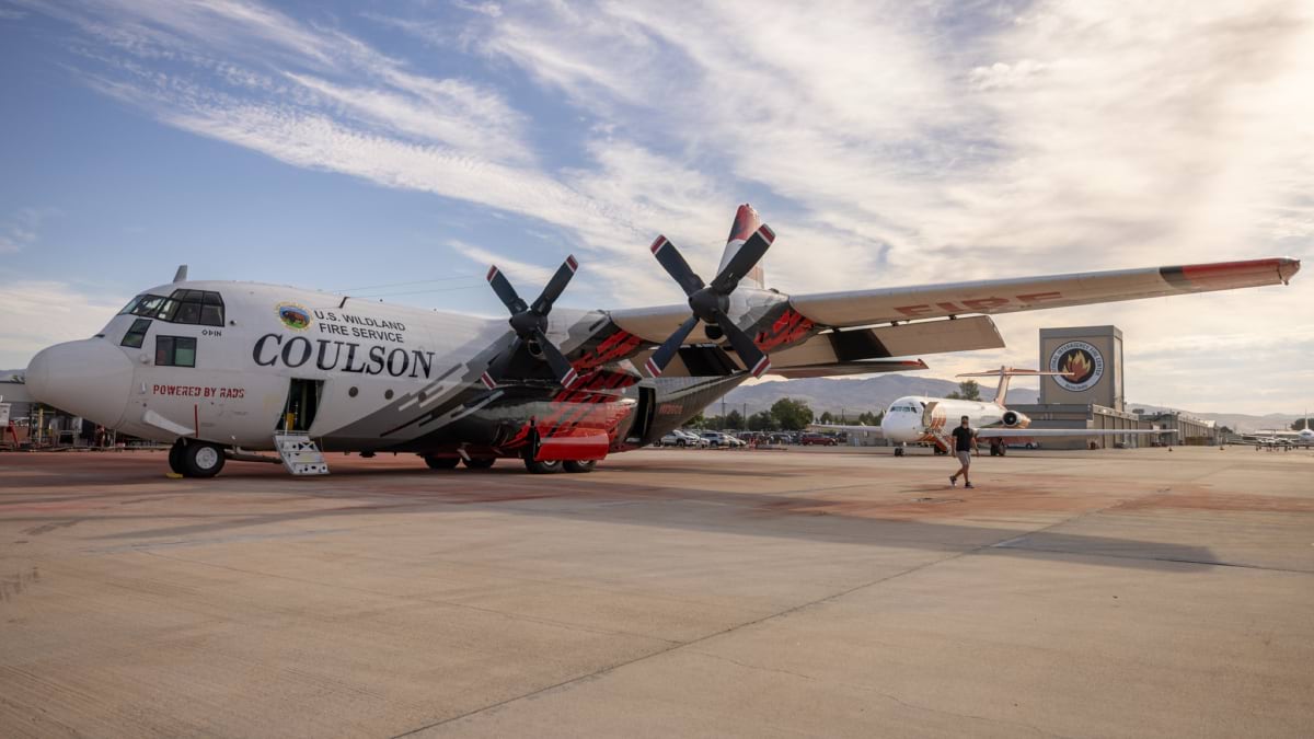
“The answer is yes,” said Chief Brian Fennessy, who leads the service. Yes, to traveling if it means sharing ideas and discovering new partners. Yes, to listening when anyone—a partner, a vendor, a stranger with an unproven idea—can show a better way. Yes, to more aircraft, more firefighters, and emerging suppression techniques. And yes, to reducing risk on the landscape, because there’s no real hope of a better outcome without mitigation measures to reduce the fuel and give fire suppression a better chance.
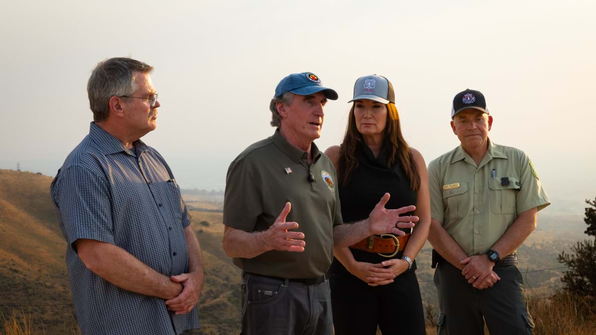
Fennessy and USWFS leadership are focused on bringing established cultures together, strengthening partnerships, and creating better ways to hear and act on ideas. Wildland firefighters have always brought energy, expertise, and commitment to the work. Many of the leaders came up through the field themselves, and saying yes is a simple framing that offers possibilities.
Deputy Chief Chris Wilcox called it “a change in mindset”: working with partners, from local fire departments to private companies, as full participants in decisions from the start. Wilcox said the aim is to move beyond the language of “cooperators and stakeholders” and open data to partners. The theory is that decisions made together hold up better than decisions announced.
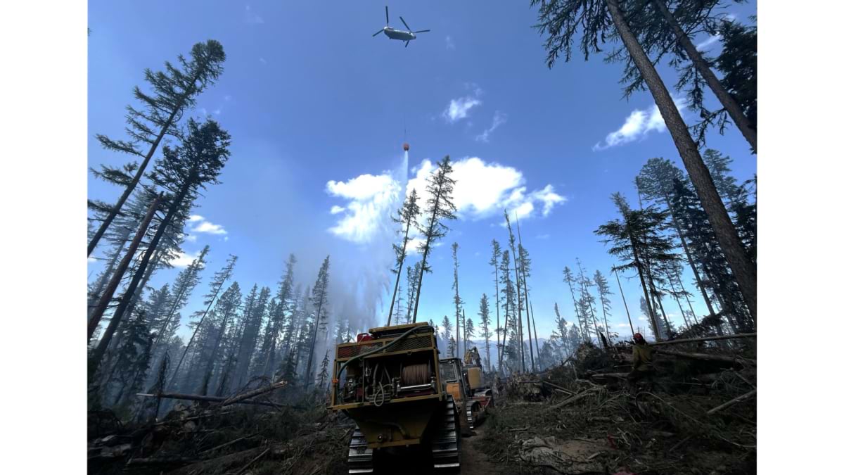
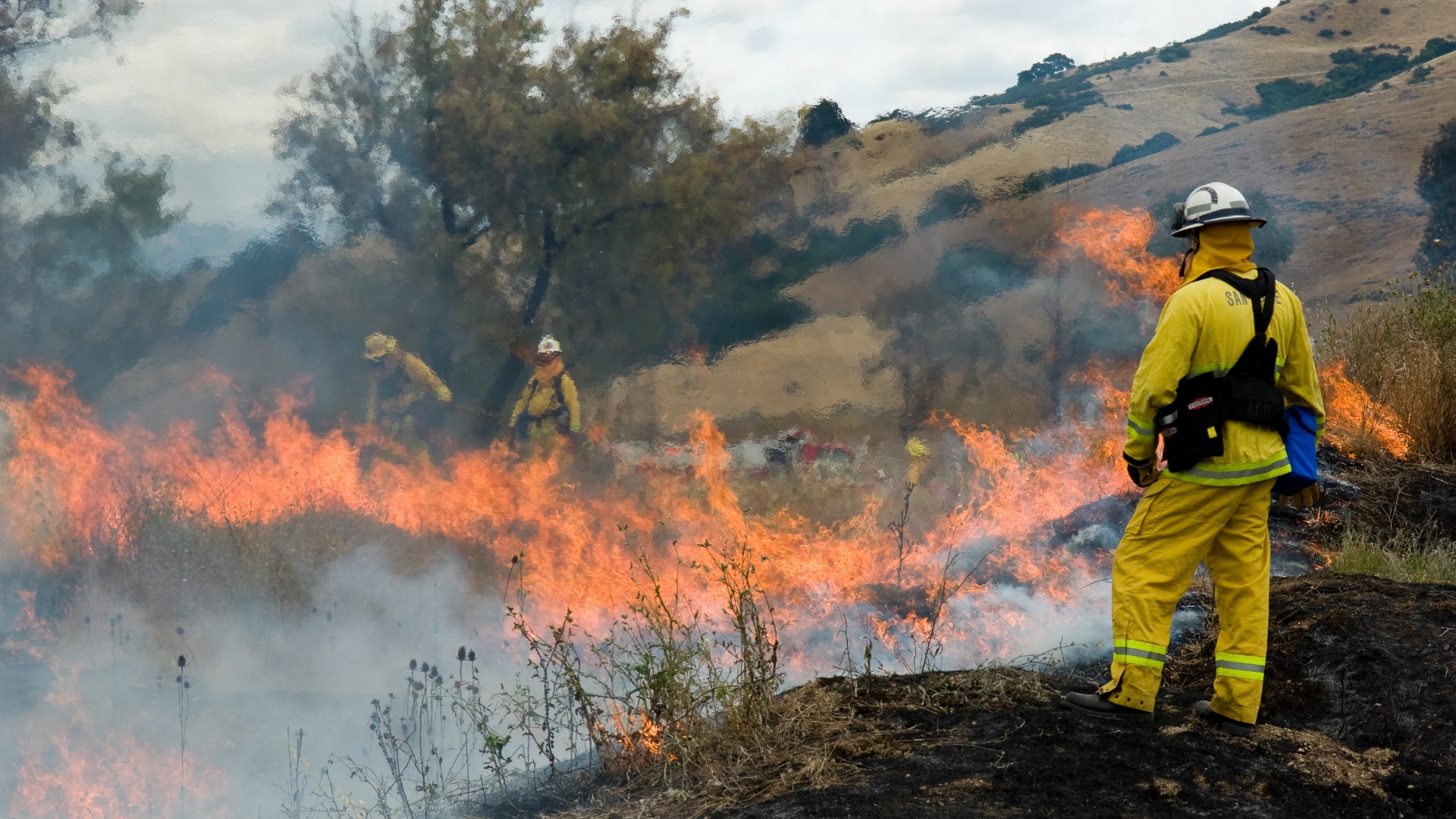
USWFS builds on decades of fuels mitigation and wildland fire management by the Interior bureaus and their partners. Leadership sees room to extend that work in practical ways: documenting mitigation crews’ brush clearing and checking it against fire behavior to show cause and effect; cutting fuel breaks quickly on active fires; fast roping to get crews from helicopters to the ground in seconds rather than the longer hover a hoist requires; and using water scoopers that reload from nearby lakes rather than aircraft that must fly back to base.
That same instinct reaches beyond aircraft and crews. USWFS has proposed a National Wildfire Information and Intelligence Center, which appears in the president’s proposed budget but is not yet funded. It is meant to improve coordination and integration among the fire scientists, meteorologists, intelligence analysts, and data specialists across the country who already contribute to wildfire science and predictive services. The expertise needed to manage fire smarter already exists, said Fennessy. The center’s value would be in connecting it.
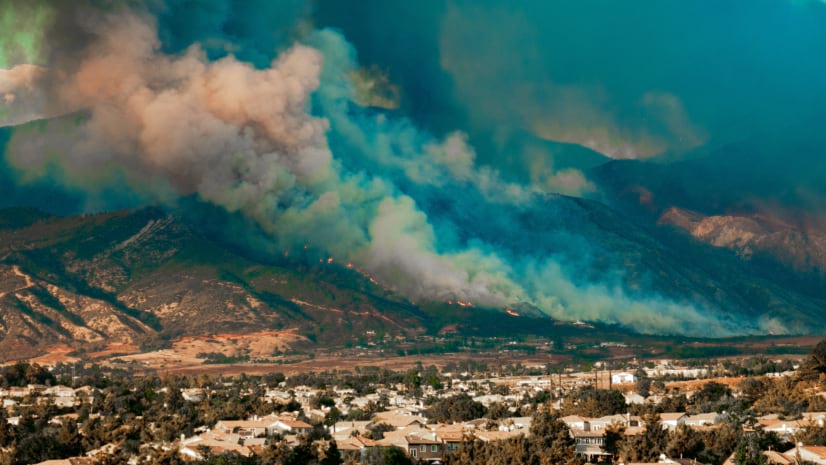
If the culture shift begins with listening, the instinct behind it runs deeper. It’s closer to how fire meets the wildland-urban interface up close, the fast-growing seam where subdivisions back up against wildland fuel. There, a single ember can turn a distant wildfire into a neighborhood emergency in minutes.
Early in his career, as a hotshot superintendent in Arizona, Wilcox was two days off a 30-day fire assignment when the Rodeo-Chediski Fire moved onto the national forest near his home in Pinedale. His family evacuated twice as the fire advanced. His home survived, in part because he had spent years thinning brush around it, knowing that once a fire starts, you have very few options left.
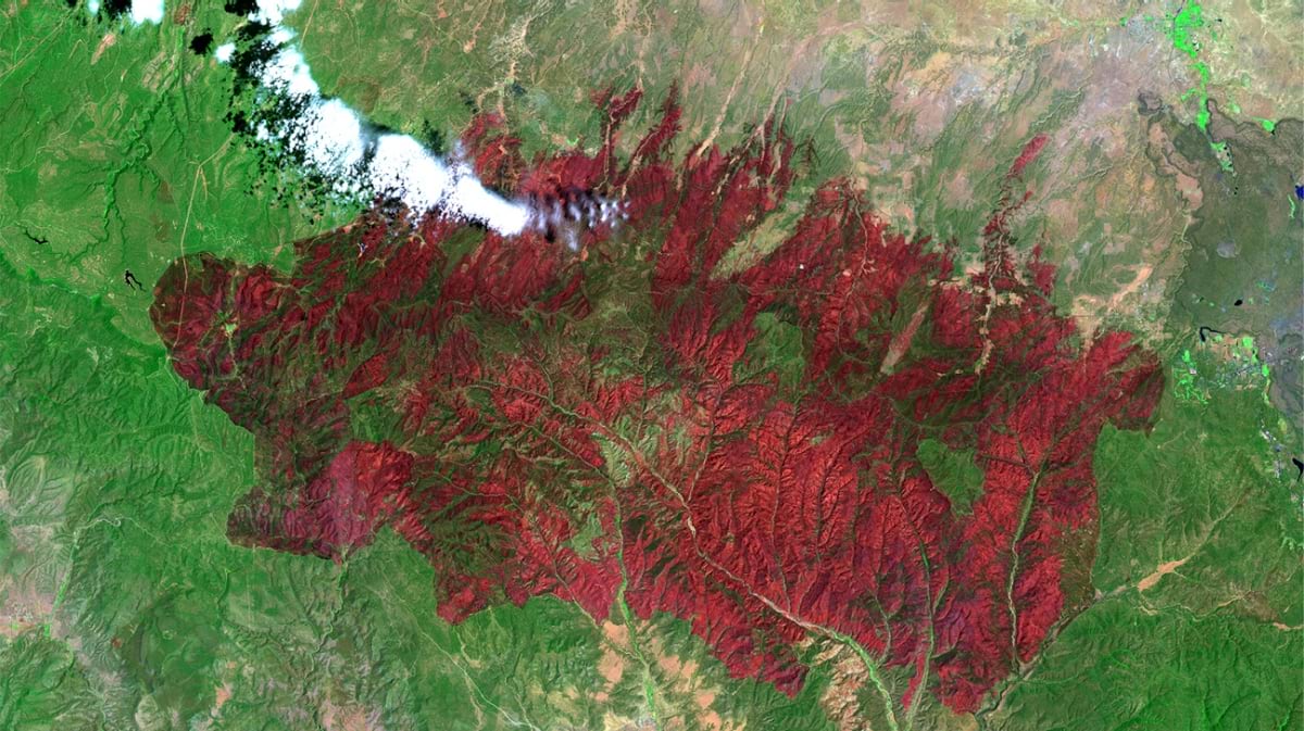
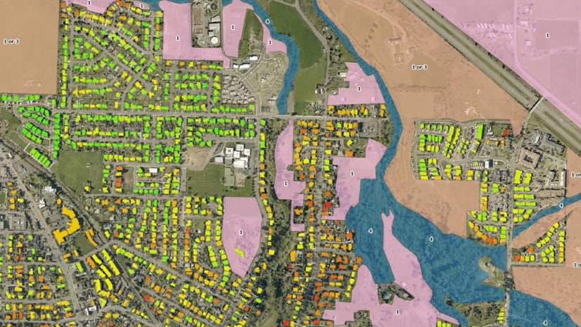
One well-prepared property is a start, but fire does not stop at property lines. Ashland, Oregon, saw that in 2020, when the Almeda Fire destroyed or damaged more than 2,750 structures in the region around it. A favorable wind spared Ashland, and residents, firefighters, and city officials knew it was a matter of luck. Ashland Fire & Rescue had already begun the work of mapping wildfire risk for every home, going house to house in 2018 and using geographic information system (GIS) technology to score each parcel by slope, vegetation, home construction, and the closeness of neighboring homes. Those scores gave the department a way to talk with homeowners one-on-one about defensible space and home hardening.
That emphasis on mitigation, the work done before a fire starts, now shapes how USWFS thinks about risk on the landscape. Two communities can sit the same distance from wildland fuel and look identical. But if one has cleared vegetation, retrofitted homes, and built fuel breaks, and the other hasn’t, the risk is not the same, and fire managers and responders should have that information when they assess risk and make operational decisions.
USWFS is working to layer a Suppression Difficulty Index, a US Forest Service tool, onto its maps, alongside census data, fuels-treatment records, and hyperlocal fuel and soil moisture readings, so the difference is visible. Wilcox described the goal as guiding resources with more precision, letting the map carry conditions and convey what’s needed.
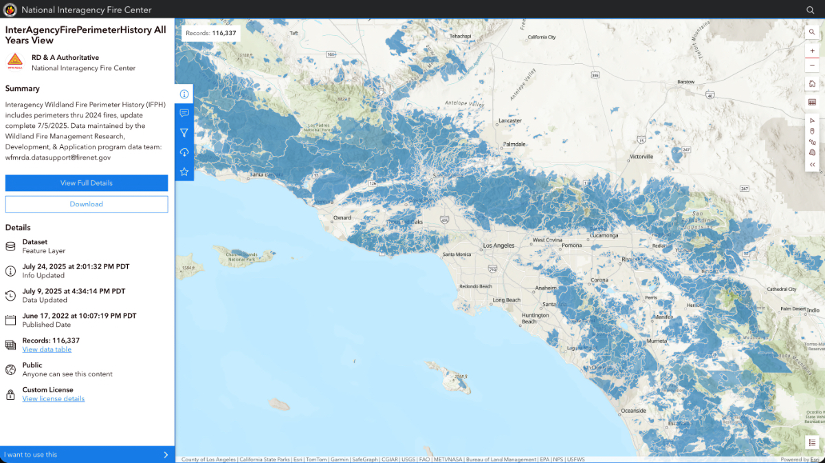
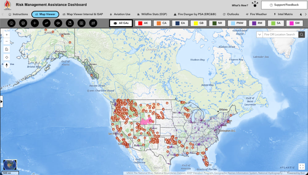
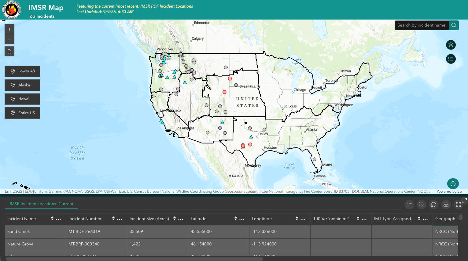
None of that precision is possible without a common operating picture. For roughly a decade, that shared picture has lived on the National Interagency Fire Center (NIFC) ArcGIS Online account, an interagency mapping capability serving tens of thousands of firefighters across federal, state, local, and tribal organizations, all working from the same operational view: one map. NIFC and its mapping capabilities predate USWFS and support the entire interagency community. USWFS is looking to build on that foundation and extend the benefits of unification. Wilcox wants to push that further, building “actionable intelligence”: not just what’s happening on a fire, but what to do next.
Fennessy put it more plainly. Fire crews don’t need a complicated map. They need something simple enough to take in at a glance and act on immediately. That’s the work of good mapping: taking everything layered into the system and handing a crew back a map with clear directives.
Fennessy has argued for releasing incident information as it comes in, an approach he sees as a direction for USWFS. The proposed center, modeled loosely on how the country’s hurricane forecasting system works, would take that logic further, improving coordination around fire behavior and what works to reduce damage.
Fuel breaks and other mitigation measures hold, but showing how long they last is difficult. A fire hits a fuel break built the year before and lies down; almost no one outside the incident ever hears about it.
Wilcox and Fennessy want to strengthen that picture with data-driven accounting that builds on existing evaluation: which treated acres held, which didn’t, and why.
CAL FIRE has already proven the model, tying specific mitigation dollars to specific outcome, and using the results to drive funding decisions. Fennessy, who worked for the Orange County Fire Authority in California, wants to borrow ideas that deliver results.
None of this promises an easier fire season. Fennessy has said, more than once, that no amount of money or aircraft will suppress the country’s way out of a landscape this overgrown and this dry. Fennessy and Wilcox point instead to a coming together of legacy programs and partners with tools suited to the job, and a camaraderie that builds from efficiency.
As USWFS takes shape, Fennessy doesn’t want it reinventing what the legacy programs already do well. He wants the same accounting applied across the lands USWFS manages, mapped and tracked consistently. Better data collection and evaluation can continue to strengthen evidence-based decisions, and the public can see, acre by acre, steady progress on a hard problem.
USWFS draws on veteran firefighters from four legacy programs. The opportunity is to bring that experience and expertise together, strengthen coordination with partners, and carry decades of knowledge into a more unified way of working.
Learn more about how GIS is applied to prepare, mitigate, suppress, and recover from wildland fire.