June 20, 2024 |
Katie Olson | Infrastructure
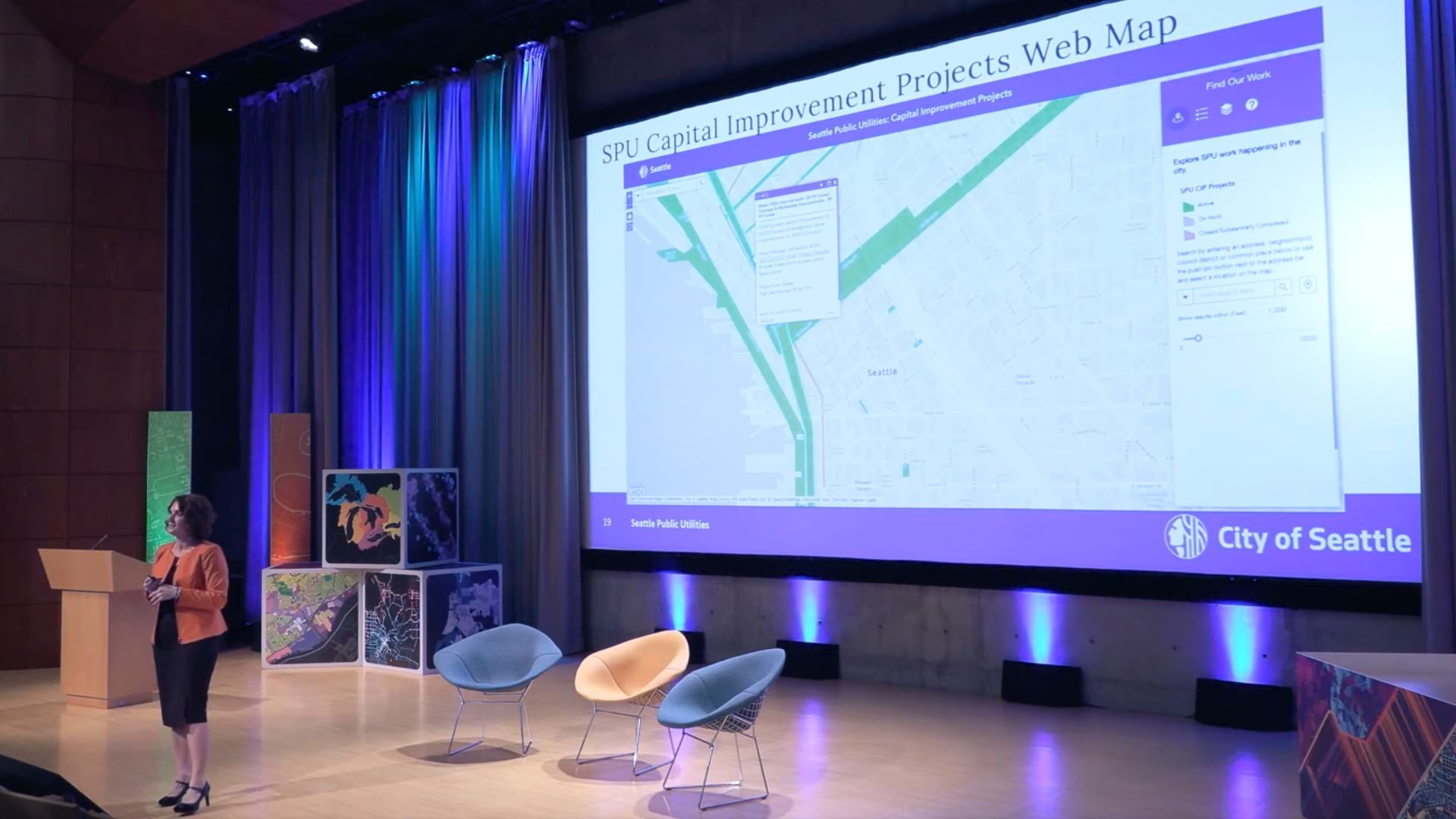
The City of Zurich uses 3D GIS and digital twin technology to see the invisible—from tree roots threatening pipelines to future flood risks. This virtual model helps predict and prevent infrastructure problems before they happen, protecting the city and saving money.
Learn more about how GIS creates digital twins of the natural and built environments.