January 23, 2025 |
Katie Olson | Infrastructure
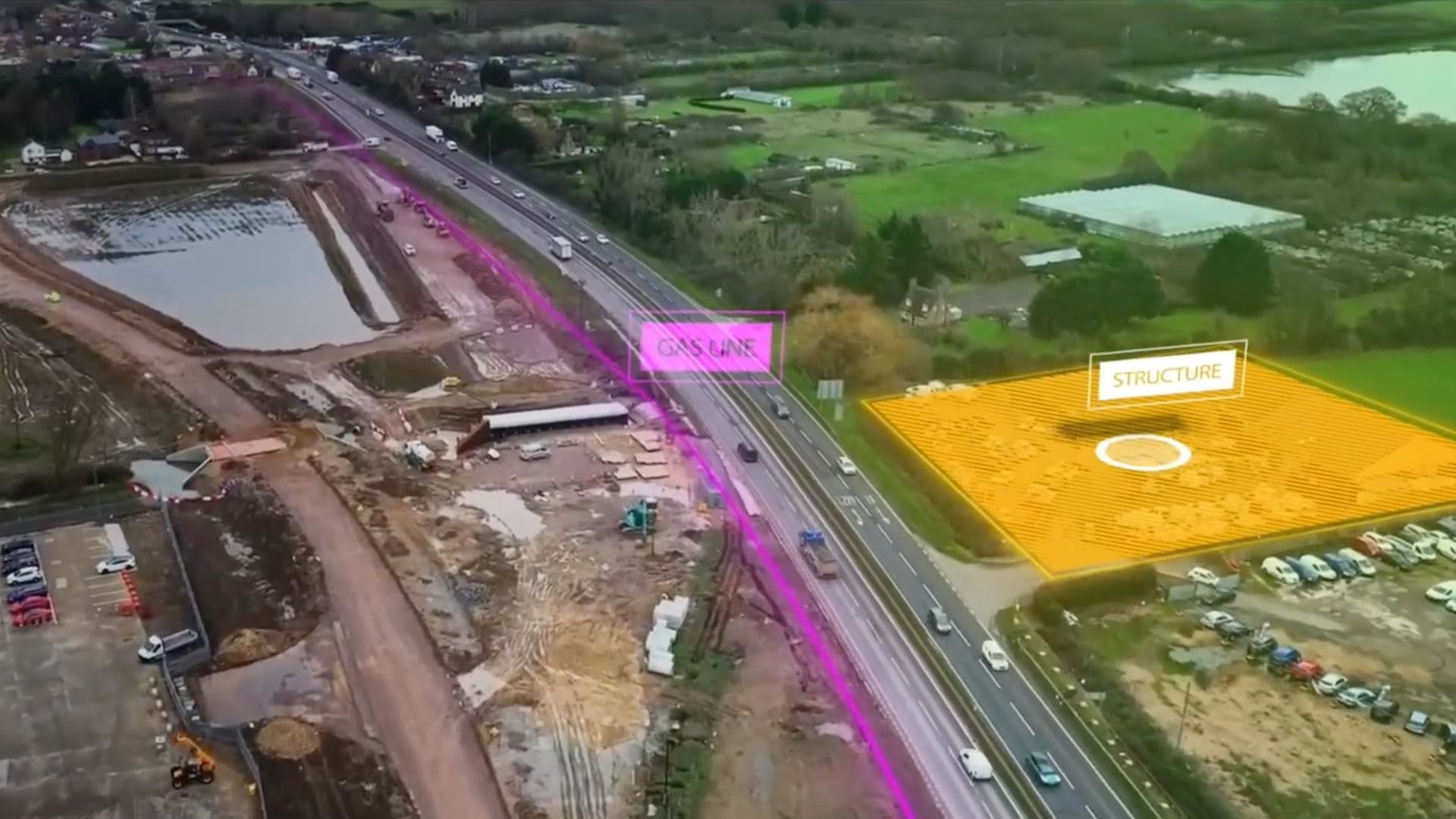
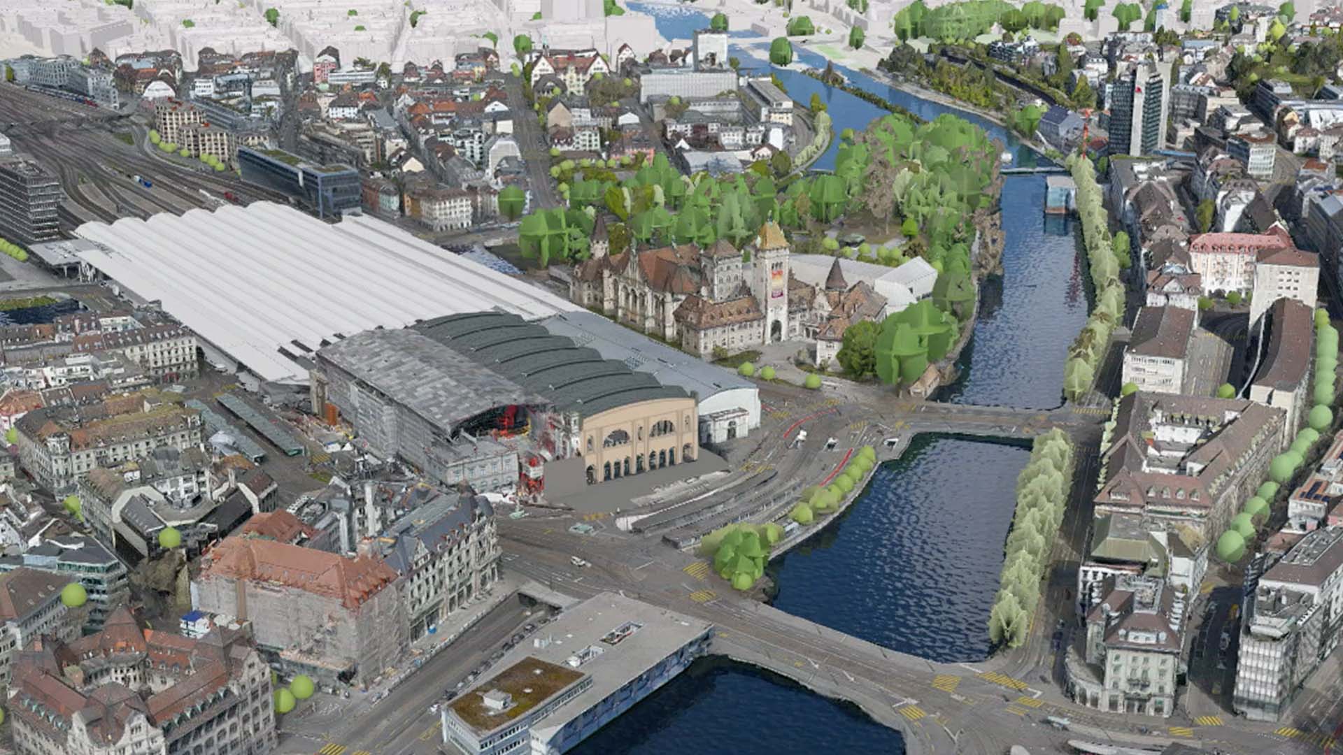
Ottawa put its zoning maps, utility lines, and infrastructure plans into one 3D model of the city. Now, a proposed development, a buried pipeline, and a transit timeline show up on the same map, so conflicts surface before construction begins. Residents can pull up that same view and see exactly how a project changes their neighborhood. See how Ottawa makes decisions on growth, housing, and risk visible to the people they affect.
Learn how GIS enables smarter decisions before building begins.