

August 2, 2022 |
March 21, 2023
Some of the most popular shows on television are about firefighters and wildfire but Hollywood gets a lot of things wrong.
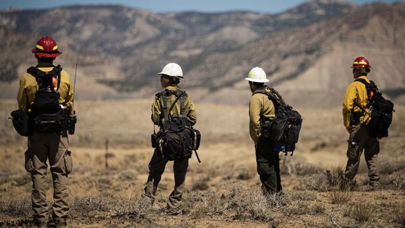
First, any wildland firefighter will tell you they aren’t a hero and it’s not heroes’ work. During a wildfire, every firefighter serves in a specific role.
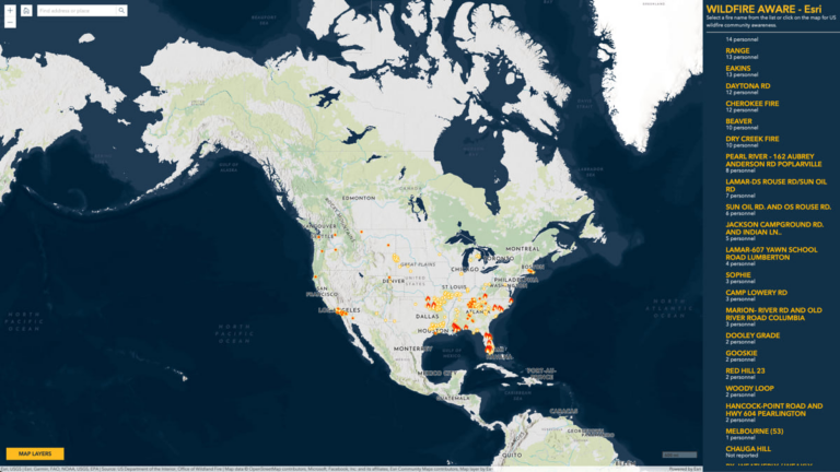
This helps to form a management structure that expands and contracts based on the complexity of the fire they’re fighting. Fire managers coordinate firefighter actions through shared maps created by geographic information system (GIS) technology. These maps allow each firefighter to see common reference points and each other’s actions.
Effective wildfire suppression is about the orchestration of a team of experts. It’s also about a lot of less glamorous work that doesn’t necessarily make for good drama but can save lives and prevent damage. For example, the mitigation work that land management agencies, municipalities, and homeowners need to take in fire prone regions to prevent fires in the first place. Understanding this aspect of wildfire mitigation is even more important as climate change creates greater wildfire-related risks.
Recently, an opinion piece on National Public Radio called for Hollywood to let go of exaggerated, oversimplified, and often inaccurate clichés about firefighters. The plea is urgent. Mitigation in high fire risk areas and around homes isn’t keeping pace with heightened threats.
Firefighters don’t resonate with the us against nature dramatizations. It’s only a part of the story.
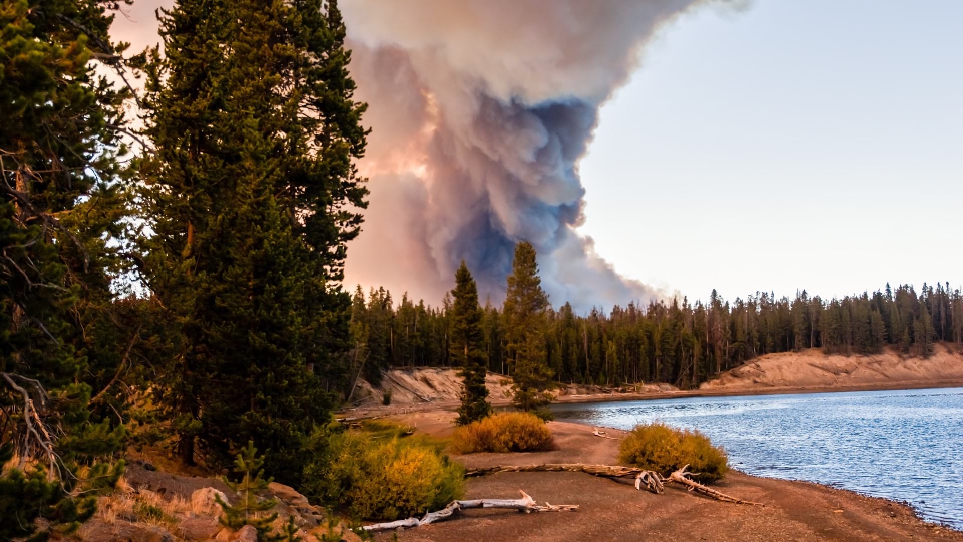
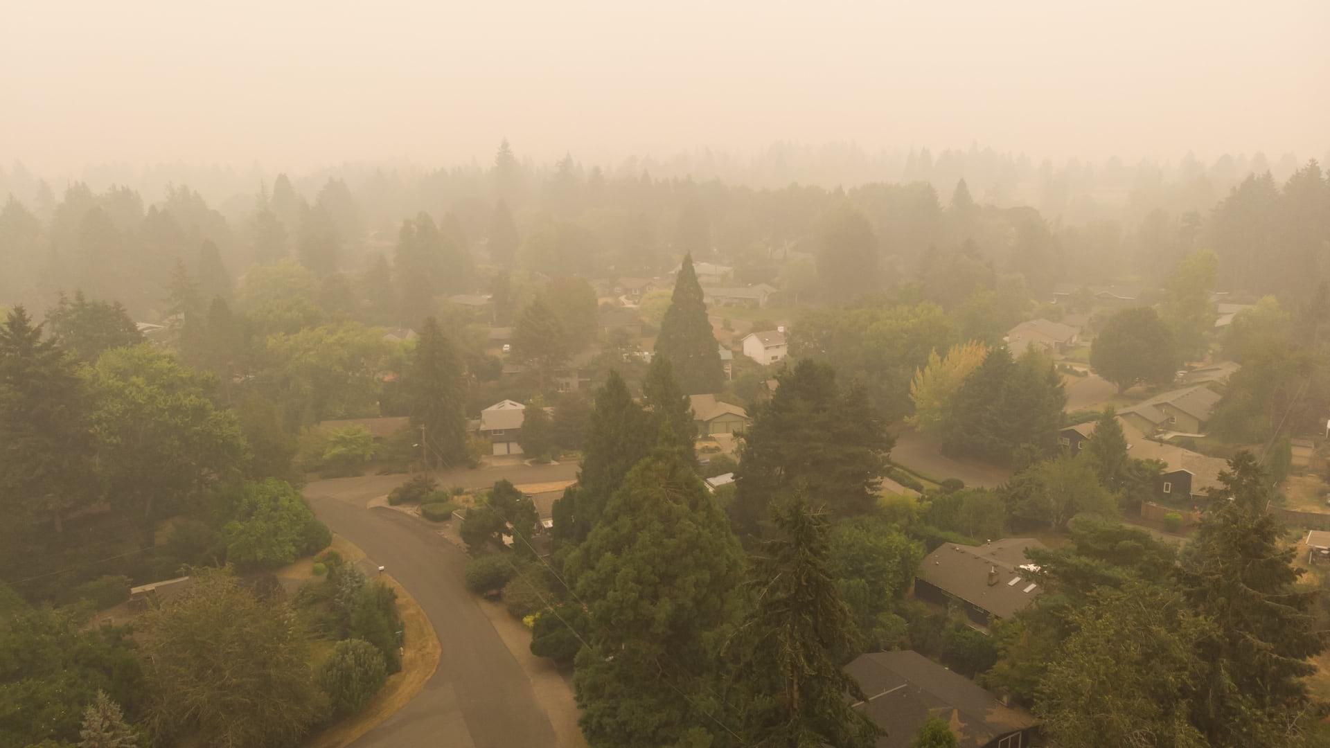
With so much available fuel to burn in the wildland-urban interface, communities are seeing more fires and more extreme fires. Firefighters are often able to protect homes and lives during a wildfire. But when fires reach high intensity they can become uncontrollable. This can increase damages.
In New Mexico in 2022, the Hermit’s Peak Fire merged with the Calf Canyon Fire in late April, and it wasn’t quelled until late August. It took four grueling months and $300 million to get the blaze under control.
Climate change is making forests drier and weather more extreme. Many recent indicators underscore a growing wildfire risk. The Marshall fire within the Denver, Colorado metropolitan region showed how high winds and fire can devastate urban areas. California’s rural areas are facing growing risk from wildfires, because recent rains have caused vegetation growth that will later dry and add fuel for wildfires. And Oregon faces a so-called “firmageddon” with diseased trees dying and adding fuel to fires.
Stories of firefighters resonate because they represent a last line of defense for saving what people value most. They’re on the frontlines of climate action. But popular culture could do everyone a service by presenting a more informed view of the work we all have to do to quell the ferocity of fires.
We need a message that emphasizes that everyone plays a role. That includes individual homeowners and public officials whose failure to plan and mitigate risk at the landscape and homeowner level increases chances of property destruction and loss of life.
Another factor complicating the wildfire threat is the movement of people into high-risk wildland urban interface areas. Humans spark 97 percent of all wildfires that threaten homes and the encroachment of people in wild areas has been increasing. This trend spotlights the need for more outreach, education, and homeowner responsibility.
Knowing where to act and how to act is a big part of the battle. Often, fire departments will go door to door to perform risk assessments for homeowners and inform them on how to work with neighbors to make communities more resilient. Here, GIS maps play a crucial role in showing where to focus mitigation efforts. We can harden homes and reduce risk on the landscape to make communities safer.
Hazardous Fuels Treatments and Using Fire to Fight Fire
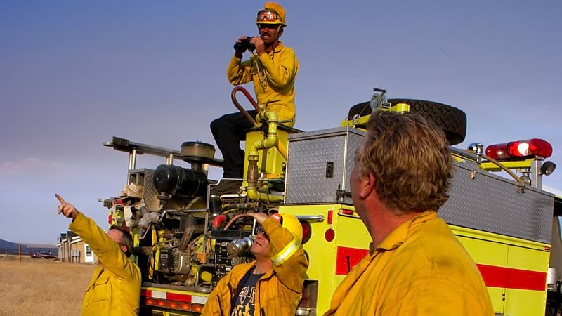
Perhaps the biggest misconception in dramatized depictions of firefighters is how firefighters work together. In reality, they all contribute to a data-driven and scientific understanding of how fire burns across the landscape. This knowledge base helps policy makers, land management agencies, and homeowners. Today, firefighters are coordinating mitigation and suppression efforts like never before.
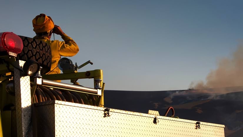
During active incidents, shared maps help them respond to changing conditions on the fire line quickly and effectively.
They’re contributing to efforts in many states to reduce tree density and fuel loading in high-risk areas. The work is especially needed where drought, disease, and pests have made these areas more prone to fire.
Prescribed burning—fighting bad fire with good fire—is another tactic gaining more adoption. Managed lower-intensity fire creates a healthier landscape. GIS technology and real-time maps strengthen the effects of prescribed burns.
When land management agencies or municipalities hire new firefighters, their trainers can only hope their motivations for joining weren’t based on cinematic representations. What’s wanted are well-informed and fit people who know how to be part of a team—an active dot on the map.
With our changing climate, wildfire will likely get worse before it gets better. Wildland firefighters gain ground by applying skills and collaborative technology. It leads to more effective operations and better outcomes. Ultimately, it leads to a safer environment for fellow firefighters and the communities they serve.
Learn more about the tools firefighters use to better understand and suppress wildland fire.
August 2, 2022 |

July 28, 2021 |
December 15, 2022 | Multiple Authors |