December 13, 2022 |
Multiple Authors
| Public Safety
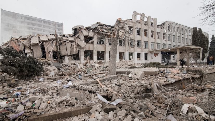
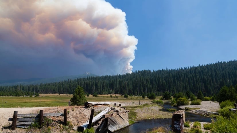
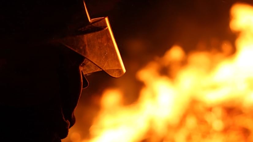
Law enforcement, emergency managers, and fire responders use GIS to get real-time insights that support mission-critical decisions and help protect communities from complex threats and hazards.
April 28, 2026 |
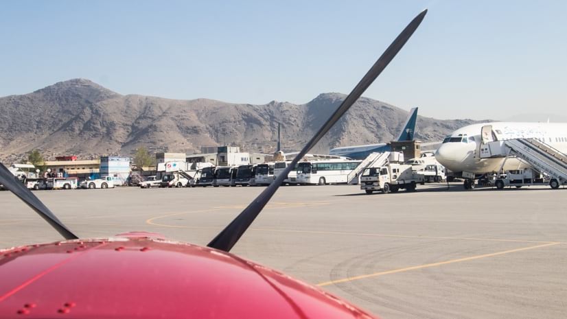
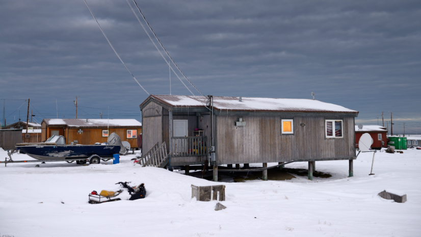
How Alaska used drones, GIS, and AI to assess typhoon damage across 40 roadless communities before winter sealed the routes.