October 20, 2026 |
Ryan Lanclos
| Public Safety
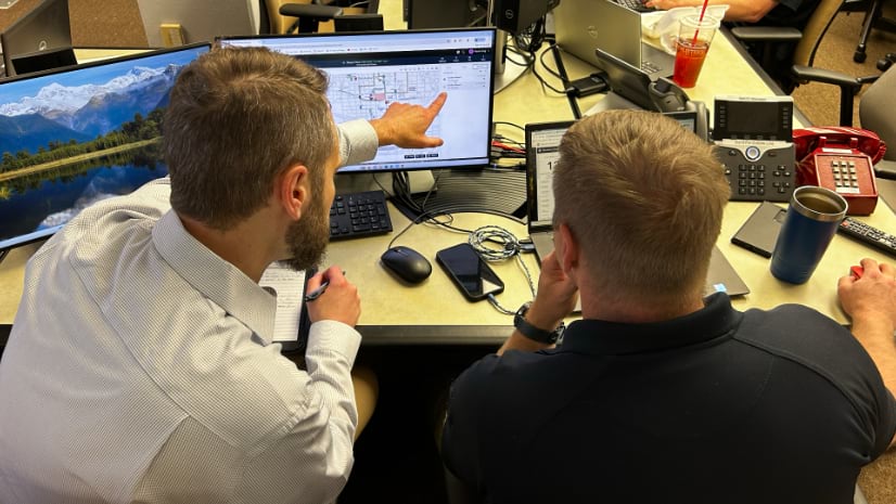
Law enforcement, emergency managers, and fire responders use GIS to get real-time insights that support mission-critical decisions and help protect communities from complex threats and hazards.
October 21, 2026 |
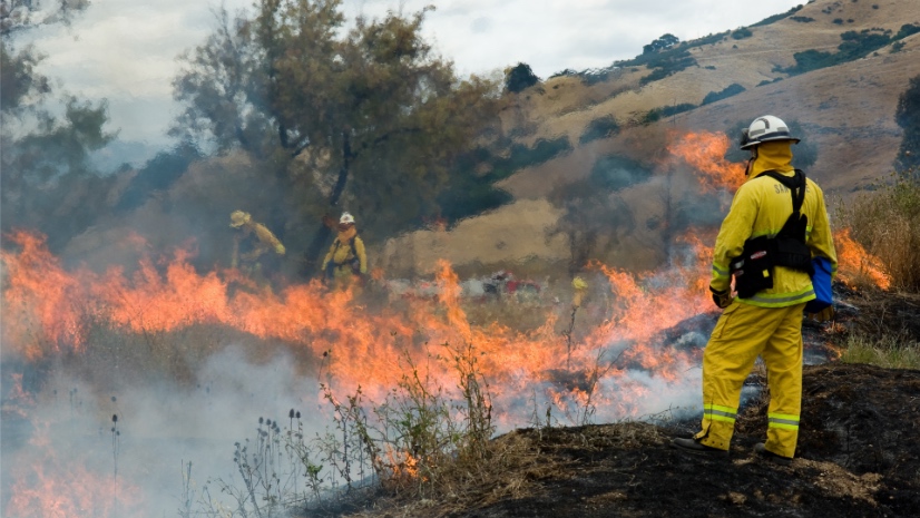
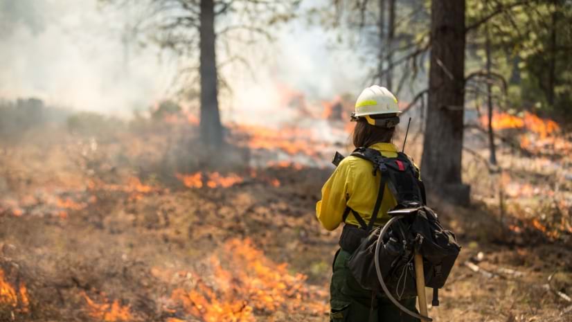
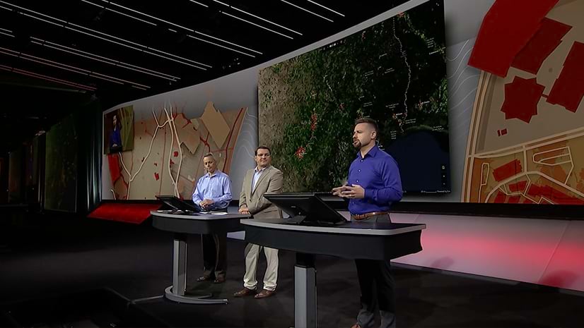
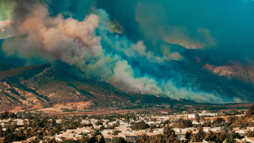
USWFS (US Wildland Fire Service) brings four Interior wildland fire programs together, using shared mapping to strengthen wildfire mitigation.