December 7, 2021 |
Keera Morrish
| Infrastructure
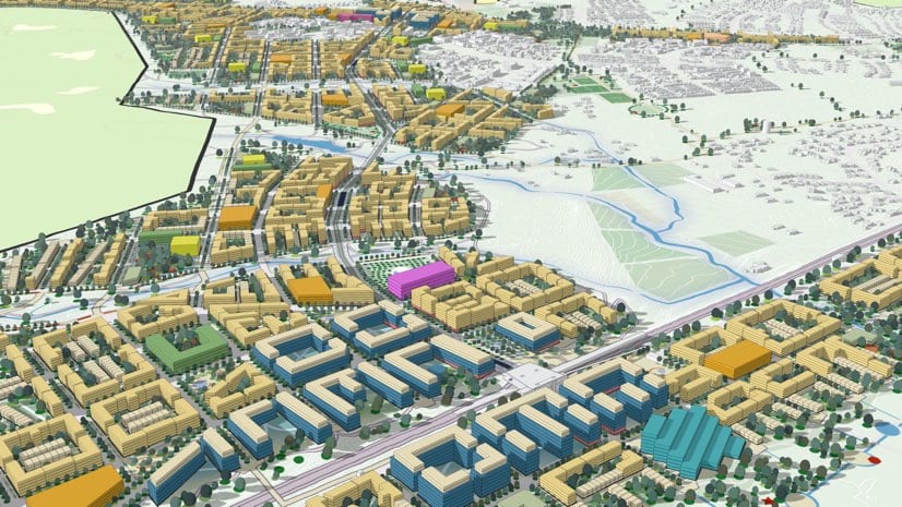
City planners use GIS to make communities more livable; optimize green space; address affordable housing needs; improve mobility with better engineered roads, transit and active transportation; and power smart cities with real-time monitoring and data-driven decisions.
January 8, 2026 |
The Montana Zoning Atlas used GIS to visualize restrictive zoning patterns across the state, sparking bipartisan legislative reforms.

